Mount Cook Weather And When To Book A Day Trip
Weather decides more than the view on a Mount Cook day trip. It decides whether the road stays open, which tracks are safe and what the operator hands you at the trailhead.
Short answer
No weather statistics for Mount Cook are published on a single trusted page, so plan with checks instead of averages. Snow, ice, avalanche and floods can close State Highway 80; check the NZTA Journey Planner or call 0800 4 HIGHWAYS before you leave Tekapo. The shared day tour from NZ$169 per person carries snow spikes when snowy.
Weather is the one part of a Mount Cook day trip you cannot book around, but you can plan around it with the right checks and the right tour. Start with the Full-Day Shuttle Via Pukaki, the grounded day tour that anchors most of the advice in this guide, then work through how conditions might move your plans. All amounts in this guide are New Zealand dollars.
| Fact | Detail |
|---|---|
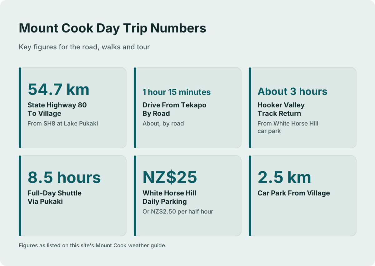
| Road to the village | State Highway 80, 54.7 km from State Highway 8 at Lake Pukaki to Mount Cook Village |
| Drive from Tekapo to the village | About 1 hour 15 minutes by road |
| What can close the road | Snow, ice, avalanche and floods |
| Where to check the road | NZTA Journey Planner or 0800 4 HIGHWAYS |
| Chains in snow and ice | Often required on alpine highways |
| Shared day tour in snow | Snow spikes carried when snowy |
| Tour duration | 8.5 hours, full-day shuttle via Pukaki |
| Village information point | Aoraki / Mount Cook National Park Visitor Centre, open daily |
What Actually Decides Your Mount Cook Day
Weather touches a Tekapo day trip at three points: the 1 hour 15 minute drive on State Highway 80, the walks you came for, and any flight you added on. Snow, ice, avalanche and floods can all close the road, so the forecast you check the night before matters more than any packing list. No single trusted page publishes Mount Cook weather statistics, so the plan is built from road checks and tour inclusions, not averages.
Aoraki / Mount Cook sits at the head of a glacial valley, and the trip there from Lake Tekapo runs across the Mackenzie Basin before turning onto State Highway 80, the 54.7 km road that ends at the village. That road is maintained by the NZ Transport Agency, and it is the piece of the day most sensitive to conditions. The first 31 km of the highway run north beside Lake Pukaki, mostly two lanes with a few single-lane bridges, which means a closure or a chain requirement affects the whole day, not just the last stretch.
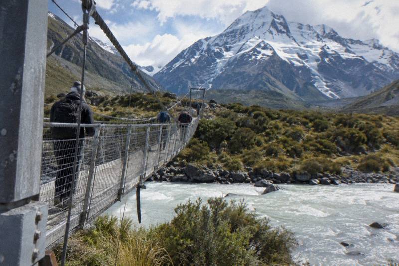
The second touchpoint is the walking. The Hooker Valley Track, about 3 hours return from the White Horse Hill car park, is the walk most day visitors want, and its three swing bridges and river flats are exactly the terrain where ice and snow change what shoes you need. The Department of Conservation Hooker Valley page carries the track description and any notices, and the Department of Conservation updates it when bridges or sections change. A new second swing bridge over the Hooker River opened in July 2026, 189 m long, the longest suspension bridge in New Zealand.
The third touchpoint is anything airborne. Scenic flights from Mount Cook Airport and the heli hike onto the Tasman Glacier are the first things rescheduled when cloud sits on the peaks, and the last things anyone should count on for a fixed itinerary. The full-day shared shuttle, the Full-Day Shuttle Via Pukaki, sidesteps that fragility by keeping the day grounded in walks and viewpoints, from NZ$169 per person.
How To Check Conditions Before You Leave Tekapo
Check two things the evening before and again at breakfast: the State Highway 80 status on the NZTA Journey Planner, and any track notice on the Department of Conservation pages for the walks on your plan. If snow or ice is on the forecast, call 0800 4 HIGHWAYS. Do both checks from Tekapo, because once you are an hour down the road your options narrow to turning around or waiting.
The NZTA Journey Planner is the authoritative source for highway status, closures and delays, and it covers the Mackenzie roads as well as State Highway 80 itself. The phone line, 0800 4 HIGHWAYS, reaches the same information when you would rather ask a person. Conditions in the basin can change faster than any listing or forum post, which is exactly why the transport agency runs both services, and why no third-party page should be treated as the last word on whether the road is open.
For the walks, the Department of Conservation maintains a page for each track around the village, and those pages carry bridge, track and works notices when there are any. The Aoraki / Mount Cook National Park Visitor Centre in the village is open daily and is the place to confirm track conditions in person on the morning you arrive. If you are driving yourself, our guide to Mount Cook road conditions and closures walks through the same checks in more detail.
A useful habit is to time your checks to your decision points. The evening check tells you whether to keep the booking. The breakfast check tells you whether to take the 8:00 or 8:30 departure the operator lists for the shared shuttle, or to message the operator about options. And the arrival check at the village visitor centre tells you which walk fits the day you actually have, rather than the day you planned in November.
| Check | Where | What It Tells You |
|---|---|---|
| Highway 80 status | NZTA Journey Planner, journeys.nzta.govt.nz | Closures, delays, winter conditions on the road to the village |
| Highway 80 by phone | 0800 4 HIGHWAYS | Same road information, spoken |
| Track notices | Department of Conservation track pages | Bridge, track or works notices for Hooker Valley, Kea Point, Tasman Glacier View |
| In person | Aoraki / Mount Cook National Park Visitor Centre | Daily track conditions, open every day |
| Fuel planning | Self-service pump in the village, credit card only | The only sourced fuel point; do not count on stations outside the village |
Snow, Ice And Chains On The Road To The Village
Chains are often required on alpine highways in snow and ice, and State Highway 80 is an alpine highway: it climbs into the national park at the head of a glacier-fed valley. If you are driving yourself in the colder months, a chain requirement is a real possibility, not a footnote. If you are on a tour, the driver carries the chains and makes the call, which is one of the quiet arguments for not driving this road yourself.
The NZ Transport Agency states plainly that snow, ice, avalanche and floods can close this road, and the practical version of that is simple: the closure risk is highest when the weather is at its most photogenic. That is the trade every winter visitor makes. Nobody can tell you the road will be open on any given day, and any page that promises a condition is guessing, so treat every forecast as a probability and every road check as the tiebreaker.
For self-drivers, the calculus includes parking and the car park at White Horse Hill, at the end of Hooker Valley Road, 2.5 km from the village. The Department of Conservation charges NZ$2.50 per half hour or NZ$25 a day there, free if you arrive and leave within 20 minutes, and the Tasman Valley car park is free for cars and campervans. Our comparison of whether to drive yourself or take a shuttle works through the full decision, including winter. The State Highway 80 route description gives the road's length and layout if you want to picture the drive before committing to it.
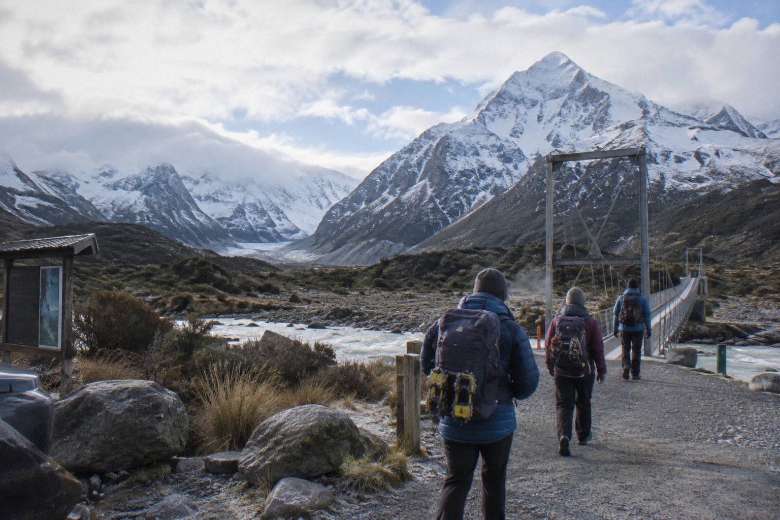
For tour passengers, the same weather lands differently. The Full-Day Shuttle Via Pukaki lists snow spikes among its inclusions, carried when snowy, alongside water, snacks, Wi-Fi, a 240 V outlet and a USB charger. The operator meets at Four Square Tekapo at 8:00 from September to May and 8:30 from June to August, and the winter start time exists for exactly this reason: it buys the driver margin on a road that may need chains or care.
What The Shared Day Tour Does When Snow Arrives
The full-day shared shuttle keeps its day grounded: it runs to viewpoints and walks rather than runways, it carries snow spikes when snowy, and its operator lists a free shuttle from the Hooker Valley car park every 30 minutes from 1:00 to 2:30 PM so nobody is stranded by weather slowing the walk. The 8.5 hour shape absorbs delay in a way a 1 hour transfer cannot.
The operator's own itinerary, which applies to this tour only, runs like this: meet at Four Square Tekapo, stop at Peters Lookout over Lake Pukaki, an optional Hermitage drop around 10:00, Tasman Glacier View or the Tasman River Track about 10:15, then Hooker Valley about 11:30 with about 3 hours allowed for the return walk. A regroup at 15:00 closes the day. Snow on the track does not break that structure; it slows one leg of it, and the buffer is where the slack lives. Lunch is not included, so pack for the day you have.
The snow spikes matter more than they sound. Ice on the river flats near the swing bridges turns a gentle walk into a sliding one, and traction you do not have to carry is traction you cannot forget. Not every operator provides it, which is why crossing inclusions between products is a mistake: the Small Group, Carbon Neutral tour run by Cheeky Kea Tours includes a pre-ordered lunch from Fairlie Bakehouse, bottled water, Kiwi snacks, Wi-Fi and USB charging, commentary and a carbon-neutral trip, from NZ$275 per person over 5 hours, and it does not list spikes.
That difference is a genuine decision point when the forecast is uncertain. If you want the longest walking window and gear for snow, the shared shuttle's 8.5 hours and spike provision fit. If you want a shorter day with lunch handled, the small-group format from NZ$275 per person trades hours for comfort, and hotel pickup is offered. Check the live price for your date on the booking page before deciding, since dates shift both.
| What The Day Needs | Shared Shuttle, Tekapo Shuttle | Small Group, Cheeky Kea Tours |
|---|---|---|
| Price | From NZ$169 per person | From NZ$275 per person |
| Duration | 8.5 hours | 5 hours |
| Group | Shared | Small group |
| Snow gear | Snow spikes when snowy | Not listed |
| Food | Water and snacks; lunch not included | Pre-ordered lunch, water, Kiwi snacks |
| Meeting point | Four Square Tekapo, 8:00 or 8:30 by season | Dark Sky Project or Peppers Bluewater Resort |
| Hotel pickup | Excluded | Offered |
Weather And Flight Products: When To Switch Plans
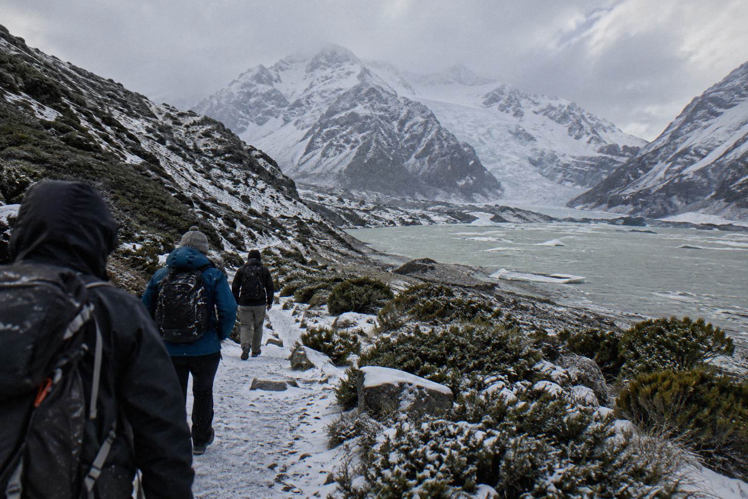
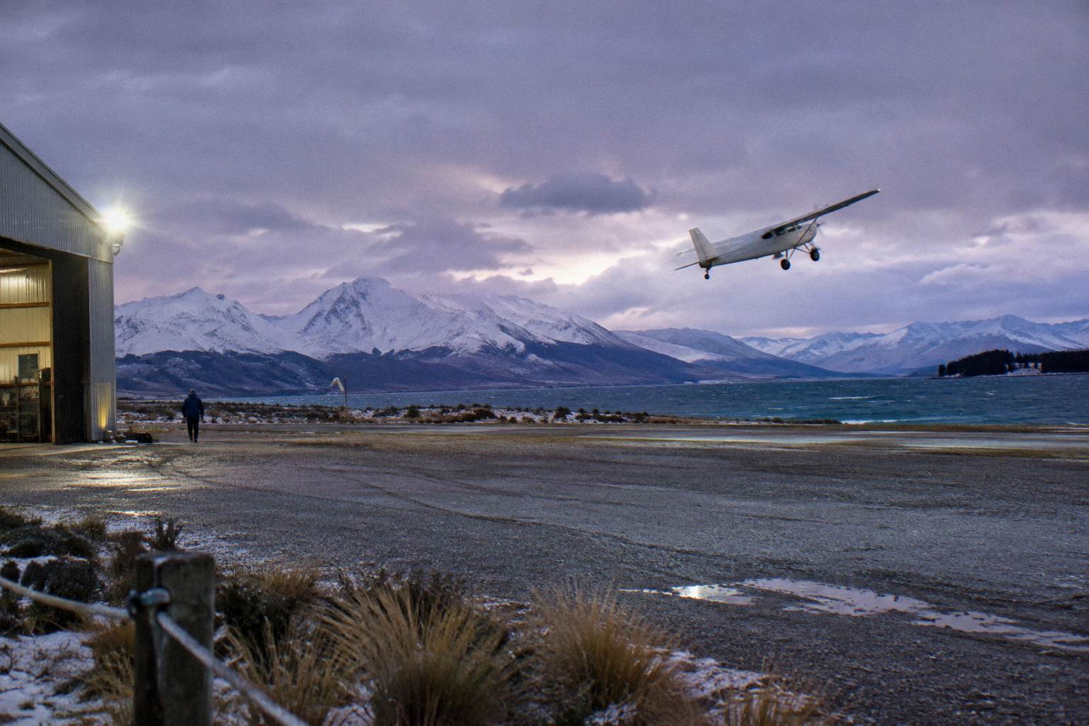
Cloud is the enemy of every scenic flight, and the operators know it, which is why flight days are built to be moved. If the peaks are capped on your one day at Mount Cook, the grounded options still deliver: walks, viewpoints and the village. So book the flight for early in your stay if you can, and hold the walking day as the fallback that never needs a cloud gap.
The flight products here start at Mount Cook Airport in the village or Tekapo Aerodrome, and their ratings, 4.9 from 139 reviews for the 50-Minute Flight From Tekapo run by Air Safaris, from NZ$565 per person, and 4.8 from 538 reviews for the Helicopter With Alpine Landing run by INFLITE, from NZ$349 per person, come from thousands of flights that did launch. But a rating is not a weather promise, and no operator can fly through cloud sitting on the summit. Treat any flight as the most weather-dependent line on your itinerary and the easiest thing to reschedule.
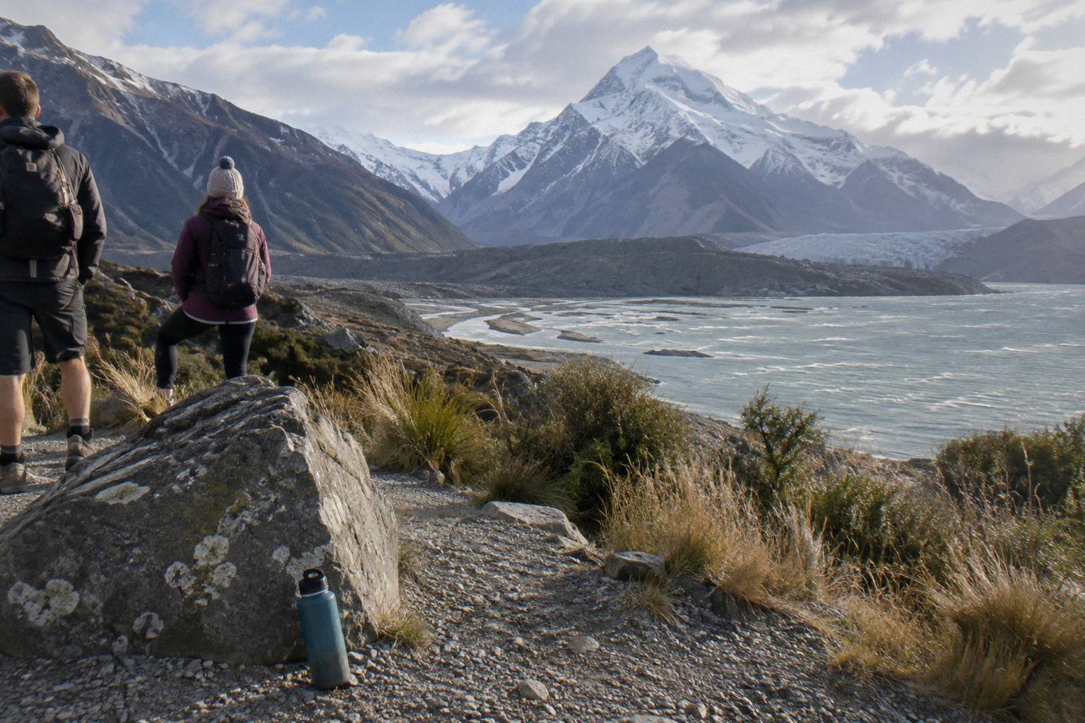
The 3-Hour Tasman Glacier Heli Hike run by The Helicopter Line, 4.8 from 275 reviews, from NZ$995 per person, is the most exposed of all: it needs both a flyable window and walkable glacier conditions, and it includes hotel pickup in the village, gear, guides and a 2-hour glacier hike. When it goes, it is the deepest immersion here. When it does not, you want a same-day alternative, and the grounded day tours are exactly that. Check availability on the live listing once your dates are firm, because flight seats are limited by aircraft, not coach size.
A practical sequencing rule: if your trip allows, sleep in Tekapo, take the grounded day tour on day one, and add the flight on day two if the sky cooperates. The village-based flights mean you can walk off a cancelled departure straight onto a track. And if the whole sky is grey, the Mackenzie Basin's dark sky reserve, 4,367 sq km designated in June 2012, turns bad weather days into good evenings, with stargazing tours the reserve's own site says run year-round.
Which Tour To Pick When The Forecast Is Uncertain
Pick the tour whose shape survives a bad hour, not the one that needs a perfect one. The Full-Day Shuttle Via Pukaki spreads 8.5 hours across stops, viewpoints and a 3-hour walk window, so weather that closes one leg leaves the rest standing. Shorter products concentrate the same risk into less time, and onward one-way tours tie your weather day to a travel day you cannot repeat.
Uncertainty rewards slack. The shared shuttle's itinerary includes a free shuttle from the Hooker Valley car park every 30 minutes from 1:00 to 2:30 PM, which means a party that turns back early at the second bridge still gets collected and still gets the afternoon in the village. A guided one-hour transfer, from NZ$125 per person with Cheeky Kea Tours, is a different product with a different job: it moves you between Tekapo and the village with commentary, carbon-neutral, and it has no walking buffer to absorb a squall. Neither is better; they answer different questions, and our piece on the one-way transfer from Tekapo covers that side of the choice.
The onward tours deserve a weather thought too. The Onward To Queenstown Via Mt Cook tour run by Cheeky Kiwi Travel, from NZ$359 per person over 9 hours, includes a picnic lunch, a fully guided small-group format, luggage allowance and central hotel drop-off in Queenstown. Because it is one-way, a weather-ruined middle of the day cannot be retried tomorrow from the same bed. If Mount Cook views are the reason you are taking that routing, give the forecast a hard look before you commit, and check the live price and the cancellation terms on the booking page.
If Hooker Valley is your priority walk, pair this guide with our deeper guide to Hooker Valley weather and conditions, which covers the track-side decisions in detail. The short version: bridges, river flats and ice are the three things weather changes on that walk, and the shared tour's snow spikes answer the third one. If you would rather have someone else make the road and gear calls on a marginal day, Check availability for your date on the operator's listing.
How The Season Shapes The Whole Decision
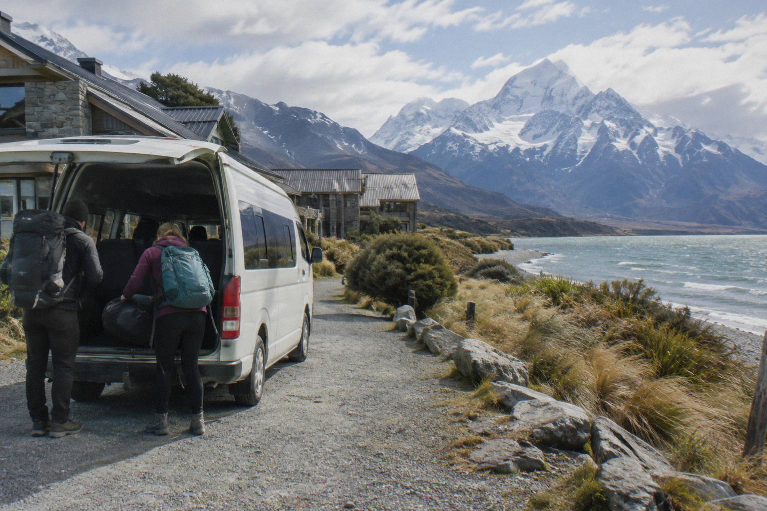
The two seasons are not just weather buckets, they are different products. From September to May the shared shuttle meets at 8:00; from June to August it meets at 8:30, a start time the operator lists because winter roads take longer. Track gear, parking pressure and daylight all shift with the season, and the tour you should book in January is not automatically the tour you should book in July.
Summer, roughly November to April on the sources that speak to it, is the busy window: the Tasman Valley car park is documented as very busy in those months, and the Hooker Valley car park charges by the half hour, so a walking day in that window rewards arriving with the tour rather than hunting for a space. The tour timeline handles this: Hooker Valley about 11:30 with three hours allowed, regroup at 15:00, which puts your party on the track at a time a self-driver might still be parking.
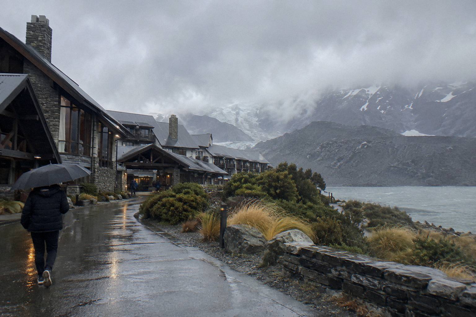
Winter flips the pressures. Crowds thin, the road risk rises, and the gear list grows. Snow spikes carried by the operator, chains on the vehicle, and the 8:30 meet all point the same way: the operator builds winter into the schedule instead of cancelling it. The colder months are also when the dark sky reserve earns its keep, since early darkness turns an ordinary evening in Tekapo into a stargazing one, and Mount John University Observatory sits inside the reserve above the lake.
What no season gets you is a weather statistic. There is no sourced temperature, rainfall or snowfall figure for Mount Cook in the official blocks this guide is built from, and any site quoting confident averages for an alpine valley is doing estimation, not measurement. The decision content is the checks, the gear and the slack in the schedule, and those work in every month.
| Season Pressure | What Changes | What Answers It |
|---|---|---|
| November to April | Car parks documented as very busy at Tasman Valley | Tour timing lands you on the track mid-morning |
| June to August | Chain risk on State Highway 80 rises | 8:30 winter meet, chains carried by the tour vehicle |
| Ice on the walks | River flats and bridges get slippery | Snow spikes included by the shared shuttle when snowy |
| Cloud on the peaks | Flights reschedule | Grounded day tours keep the day intact |
| Early darkness in winter | Evening plans open up | Dark sky reserve stargazing, year-round per the reserve's site |
What Trips People Up Before You Book
The recurring mistakes are crossing facts between tours, trusting a weather statistic that no official source publishes, and booking a flight day with no grounded fallback. Each day tour's inclusions, times and prices belong to that tour alone, and the only printable clock times are the shared shuttle's. Avoid those three and the weather becomes a variable you manage, not a gamble you took.
The first trap is assuming the inclusions travel. The small-group Cheeky Kea tour includes lunch; the shared shuttle does not. The shared shuttle includes snow spikes; the small-group listing does not mention them. One meets at Four Square, the other at the Dark Sky Project or Peppers Bluewater Resort. Reading one listing and booking the other is the most common way a weather-sensitive day goes wrong, because the gear you assumed is the gear that is missing.
The second trap is the averages trap. No temperature, rainfall or wind figure for Mount Cook appears in the official sources behind this guide, and month rankings are guesswork dressed as data. The substitutes are the NZTA Journey Planner for the road and the Department of Conservation track pages for the walks, checked the evening before and again on the morning. That routine beats any forecast table, because it describes the actual day rather than a fictional average one.
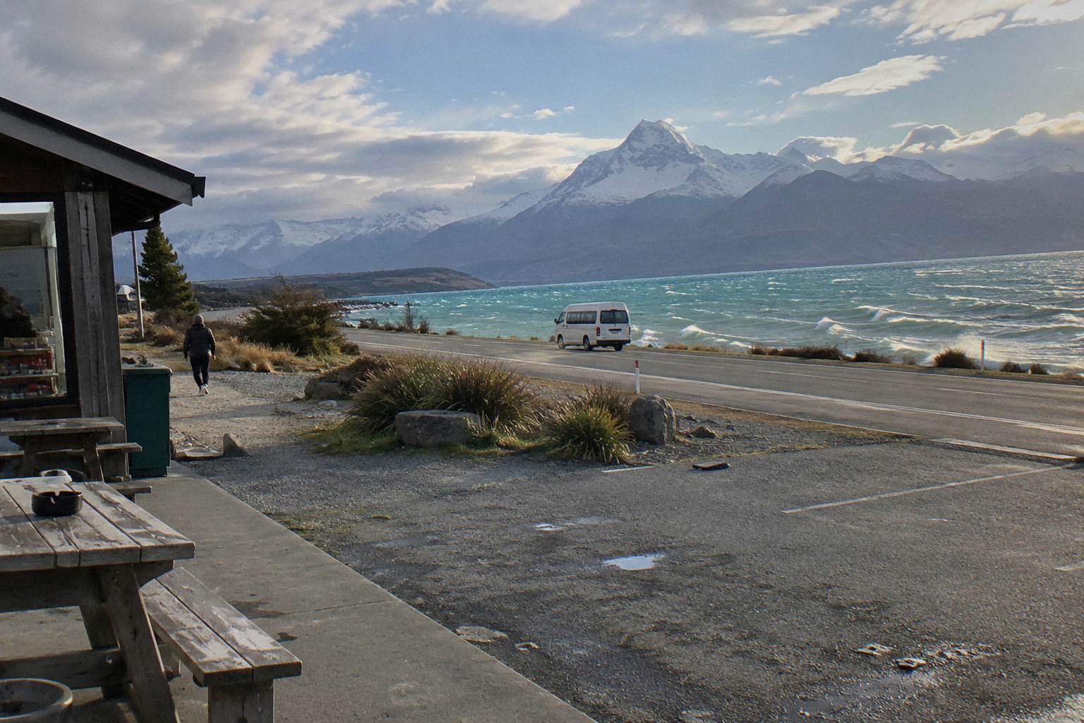
The third trap is stacking weather-dependent products on a single day. A heli hike in the morning and a scenic flight in the afternoon sounds efficient until cloud settles in and both move to tomorrow, the day you are already in Queenstown. If flights matter, give them their own day and keep a walking day as ballast; the grounded day tours are the ballast that never cancels for cloud. And when you do book, check the cancellation terms on the booking page once, since terms are not printed per product here.
Planning a Mount Cook day trip around weather is really planning a day with options, and Tekapo Shuttle Mt Cook exists to make those options visible: grounded tours that run through snow, flights that need the sky, and the checks that tell you which day you have woken up to.
Common Questions About Weather On A Mount Cook Day Trip
Does Weather Ever Cancel The Day Tour From Tekapo?
Snow, ice, avalanche and floods can close State Highway 80, and a road closure can stop any road-based day. The operator decides on the day. Check the NZTA Journey Planner or call 0800 4 HIGHWAYS before you leave, and check the cancellation terms on the booking page when you book.
What Mount Cook Weather Statistics Should I Plan Around?
None are published in the official sources for this route. There is no sourced temperature, rainfall, snowfall or wind figure for the village or the valley. Plan with road and track checks instead of averages, because a check describes the actual day.
Does The Shared Shuttle Provide Gear For Snow?
Yes, the Full-Day Shuttle Via Pukaki lists snow spikes among its inclusions, carried when snowy, alongside water, snacks, Wi-Fi, a 240 V outlet and a USB charger. Lunch is not included. The operator lists snow spikes for this tour only, so do not assume other tours carry them.
When Does The Shuttle Leave In Winter?
The operator lists a meet at Four Square Tekapo at 8:00 from September to May and 8:30 from June to August, for this tour only. The winter start time gives the driver margin on a road where chains are often required in snow and ice.
Should I Book A Scenic Flight Or A Walking Tour First?
Book the walking tour first if you have one day. The grounded tours run in more conditions than any flight, since cloud grounds aircraft but not tracks. If you have two days, put the flight on day two and keep the walking day as the fallback that never needs a cloud gap.
Where Do I Check Road And Track Conditions On The Morning?
Use the NZTA Journey Planner at journeys.nzta.govt.nz or call 0800 4 HIGHWAYS for State Highway 80, and the Department of Conservation track pages for the walks. The Aoraki / Mount Cook National Park Visitor Centre in the village is open daily for in-person confirmation.