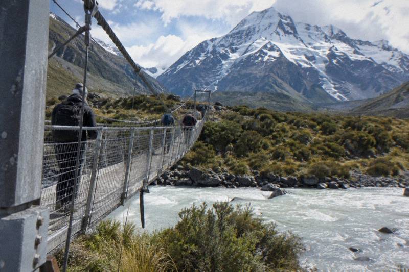
Hooker Valley Track Weather And Track Conditions
Weather on the Hooker Valley Track splits into two decisions: the condition of State Highway 80, which decides whether you can reach the trailhead at all, and the condition of the track itself, which decides how you walk it. Here is what to check, in what order, and what the day tours do when snow arrives.
Short answer
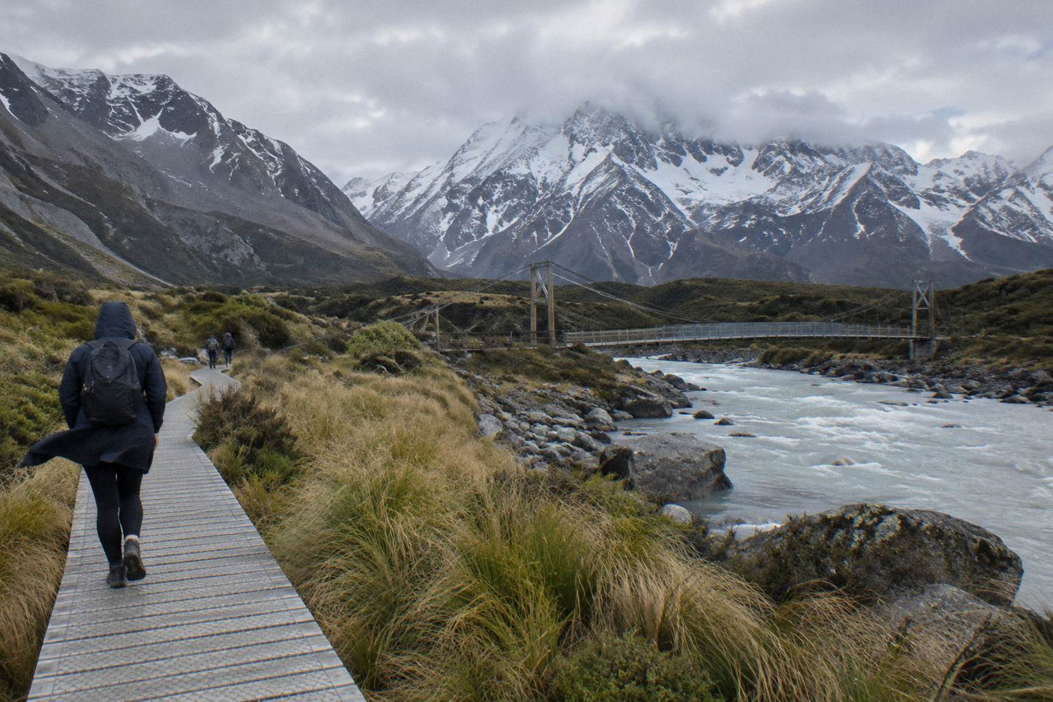
Check the NZTA Journey Planner or call 0800 4 HIGHWAYS for State Highway 80, and the Department of Conservation Hooker Valley page for the track. The walk is about 3 hours return from White Horse Hill car park over two swing bridges. Snow and ice can close the road; the shared day tour carries snow spikes when snowy.
Walking the Hooker Valley Track is a weather decision before it is a fitness decision. The track itself is modest, about 3 hours return from White Horse Hill car park with 5 km each way and two swing bridges, but it sits at the end of State Highway 80, an alpine road that snow, ice, avalanche and floods can close. The Department of Conservation's Hooker Valley Track page and the NZ Transport Agency's Journey Planner are the two checks that matter, in that order, because a closed road makes the track condition irrelevant. For the wider drive, the tekapo-to-mount-cook-distance-and-drive-time guide covers the full route from Lake Tekapo.
If you are weighing the walk itself rather than the drive, start with our main Mount Cook day trip from Lake Tekapo planning guide.
| Fact | Detail |
|---|---|
| Track start | White Horse Hill car park, end of Hooker Valley Road, 2.5 km from the village |
| Total time | About 3 hours return from the car park |
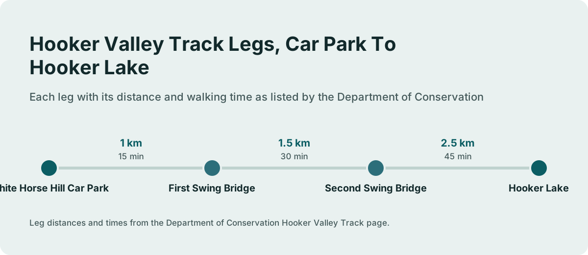
| Legs | 1 km to first bridge (15 min), 1.5 km between bridges (30 min), 2.5 km to Hooker Lake (45 min) |
| Newest bridge | Second swing bridge opened July 2026, 189 m, the longest suspension bridge in New Zealand |
| Road check | NZTA Journey Planner or 0800 4 HIGHWAYS |
| Track check | Department of Conservation Hooker Valley Track page |
| Parking at White Horse Hill | NZ$2.50 per half hour or NZ$25 a day, free inside 20 minutes |
| Shuttle option | Full-Day Shuttle Via Pukaki, from NZ$169 per person |
All amounts are New Zealand dollars.
Which Check Comes First: Road Or Track?
Check the road before the track, every time. State Highway 80, the 54.7 km Mount Cook Road from State Highway 8 at Lake Pukaki to the village, is the single point of failure for the walk, and snow, ice, avalanche and floods can all close it. The NZTA Journey Planner and the 0800 4 HIGHWAYS line are the official sources; chains are often required in snow and ice on alpine highways.
The order matters because of geography. White Horse Hill car park sits at the end of Hooker Valley Road, 2.5 km beyond the village, so you cannot reach the track start without driving the full length of State Highway 80 past Lake Pukaki. A walker in Lake Tekapo is committing to roughly 62.9 km of State Highway 8 to the Pukaki turnoff and then the whole alpine section of State Highway 80 before the question of the track even arises. If the road is closed, no amount of gear fixes it.
One scope note on what no page can tell you: no temperature, rainfall, snowfall or wind statistic is sourced for the village or the track, so plan from the official live checks and the forecast you trust, not from fixed numbers. Treat any condition you read anywhere, including a clear day on the drive, as a snapshot rather than a promise.
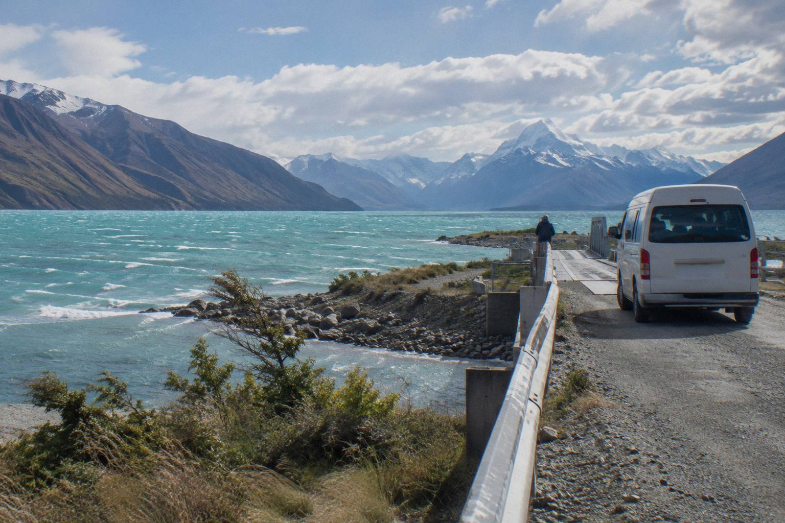
The road question is bigger than this one walk. Our Mount Cook road conditions and closures guide covers the full Highway 80 picture, including the pull-over areas NZTA improved at Peters Lookout, and the drive yourself or take a shuttle to Mount Cook comparison weighs the driving decision in winter against handing it to a tour. Both matter here because the worst outcome is arriving at a closed road with a booked day already spent.
Practically, run the check the evening before and again in the morning. NZTA updates the Journey Planner as conditions change, and a road that was open at dinner can close overnight with snow. If chains are being required, that is your signal that the drive has moved from routine to demanding, and a shuttle or a different day becomes the better trade.
How Do You Read The Track Condition Itself?
The Department of Conservation Hooker Valley Track page is the authoritative status for the walk, and it names each leg: 15 minutes and 1 km from the car park to the first swing bridge, 30 minutes and 1.5 km to the second, and 45 minutes and 2.5 km from there to Hooker Lake. The new second swing bridge, opened in July 2026, is 189 m long, the longest suspension bridge in New Zealand.
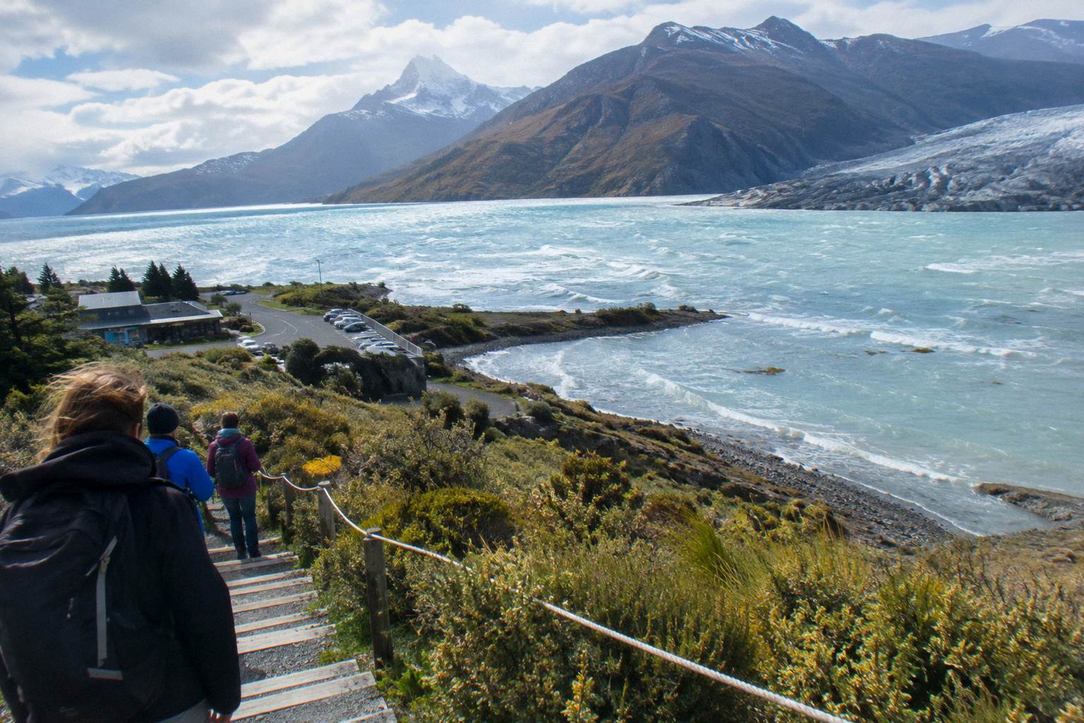
The leg table is the useful part for a conditions call, because the three legs behave differently in poor weather. The first leg is the shortest and gives you a fast read on the surface underfoot. The middle leg is the longest stretch between structures. The final leg to Hooker Lake is the one most exposed to whatever is coming off the mountains, and it is where you decide to turn around if the day is closing in. Times are one-way from the car park, so a walker at the second bridge is about 45 minutes from the start.
| Leg | Distance | Time | What Changes In Bad Weather |
|---|---|---|---|
| Car park to first swing bridge | 1 km | 15 min | Quickest ground to judge the surface on |
| First to second swing bridge | 1.5 km | 30 min | Longest stretch between structures |
| Second bridge to Hooker Lake | 2.5 km | 45 min | Most exposed final approach |
| Total return | 10 km | About 3 hours | Doubles every leg time on the way back |
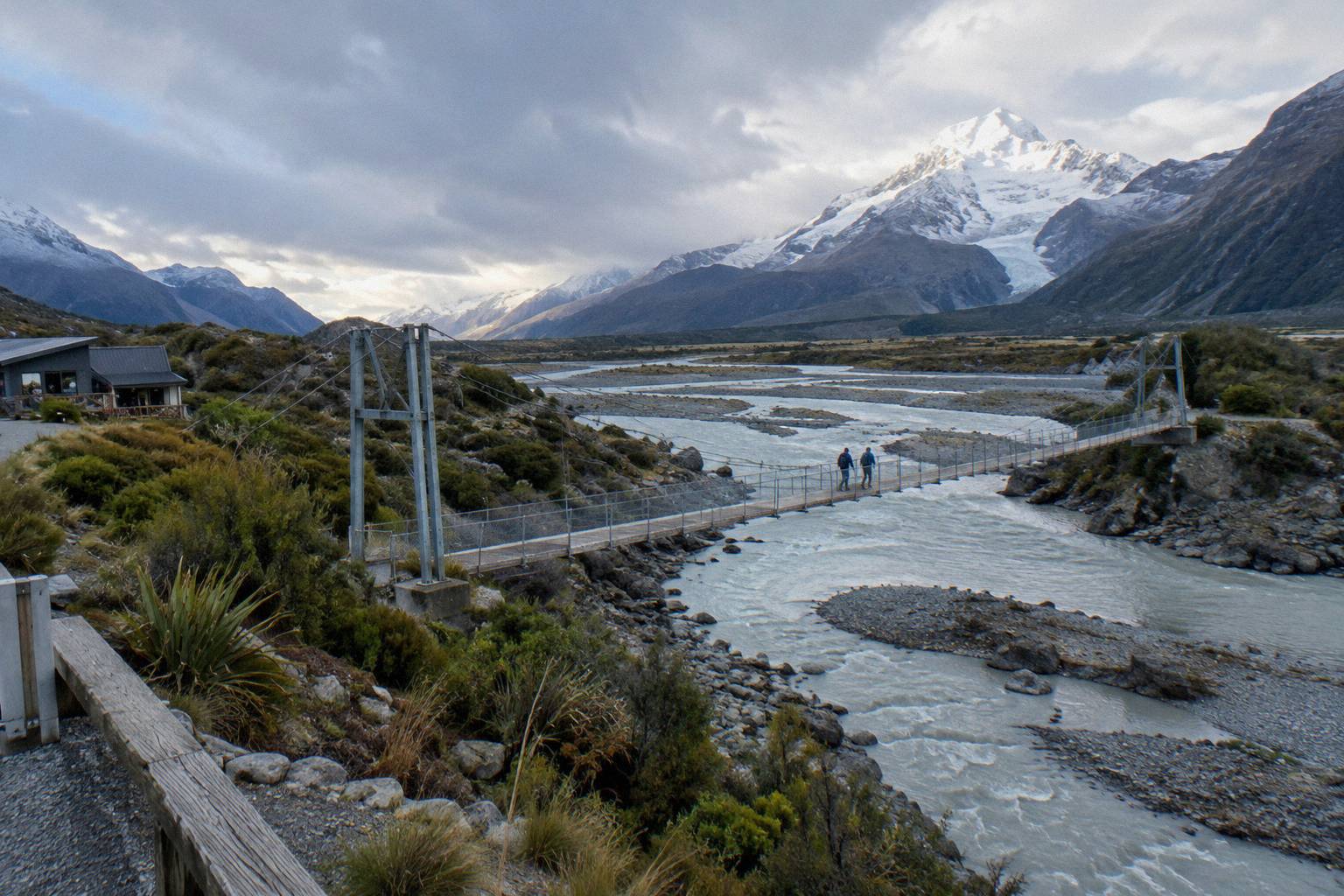
DOC's track pages also carry closure and works notices when they exist. At the time of research no closure or works notice was on the Hooker Valley page, but conditions change and no current condition should be assumed from that: read the page on the day. The same advice covers the neighbouring walks, which share the same weather system, and our Tasman Glacier viewpoint and lake guide applies the same check-before-you-go logic to the steps-and-viewpoint walk on the other side of the village.
Choosing between the two headline walks on a marginal day is a real decision. The comparison in Sealy Tarns track or Hooker Valley, which first sets out the trade: Sealy Tarns climbs 2,200 steps with 600 m of height gain and the brochure gives 3 to 4 hours return, while the Hooker Valley Track stays low and long. In poor visibility the low, valley-floor walk is usually the safer shape of day, but the bridges are still bridges, and the river is still glacial.
If walking with older family or children changes your risk appetite, the Hooker Valley Track with kids and older walkers guide covers pace, turning back, and what the leg table means for a slower group. Weather shortens days more than legs do.
What Do The Day Tours Do When Snow Arrives?
The shared Full-Day Shuttle Via Pukaki, the 8.5-hour day tour from Lake Tekapo, includes snow spikes when snowy, which is the operator's answer to ice on the track rather than to the road. The tour meets at Four Square Tekapo at 8:00 from September to May and 8:30 from June to August, reaches the Hooker Valley around 11:30, and lists about 3 hours for the walk.
The spike detail is the information gain most first pages of results miss. A shuttle day tour does not just transport you; the operator's itinerary lists snow spikes among the inclusions, alongside water, snacks, Wi-Fi, a 240 V outlet and a USB charger, so on a day when the car park surface is icy, a booked seat comes with footwear traction you would otherwise need to bring yourself. That inclusion appears only on this tour's itinerary, so read it as this operator's provision, not an industry standard.
What the tour cannot promise is the day itself. The itinerary's clock times, including the Peters Lookout stop, the Tasman Glacier View or Tasman River Track option around 10:15, the free shuttle from the Hooker Valley car park every 30 minutes from 1:00 to 2:30 PM, and the 15:00 regroup, are all operator-stated and all subject to the same road and weather that governs every vehicle on Highway 80. Lunch is not included. Check the cancellation terms on the booking page before committing to a winter date, and check the live price for your date there too.
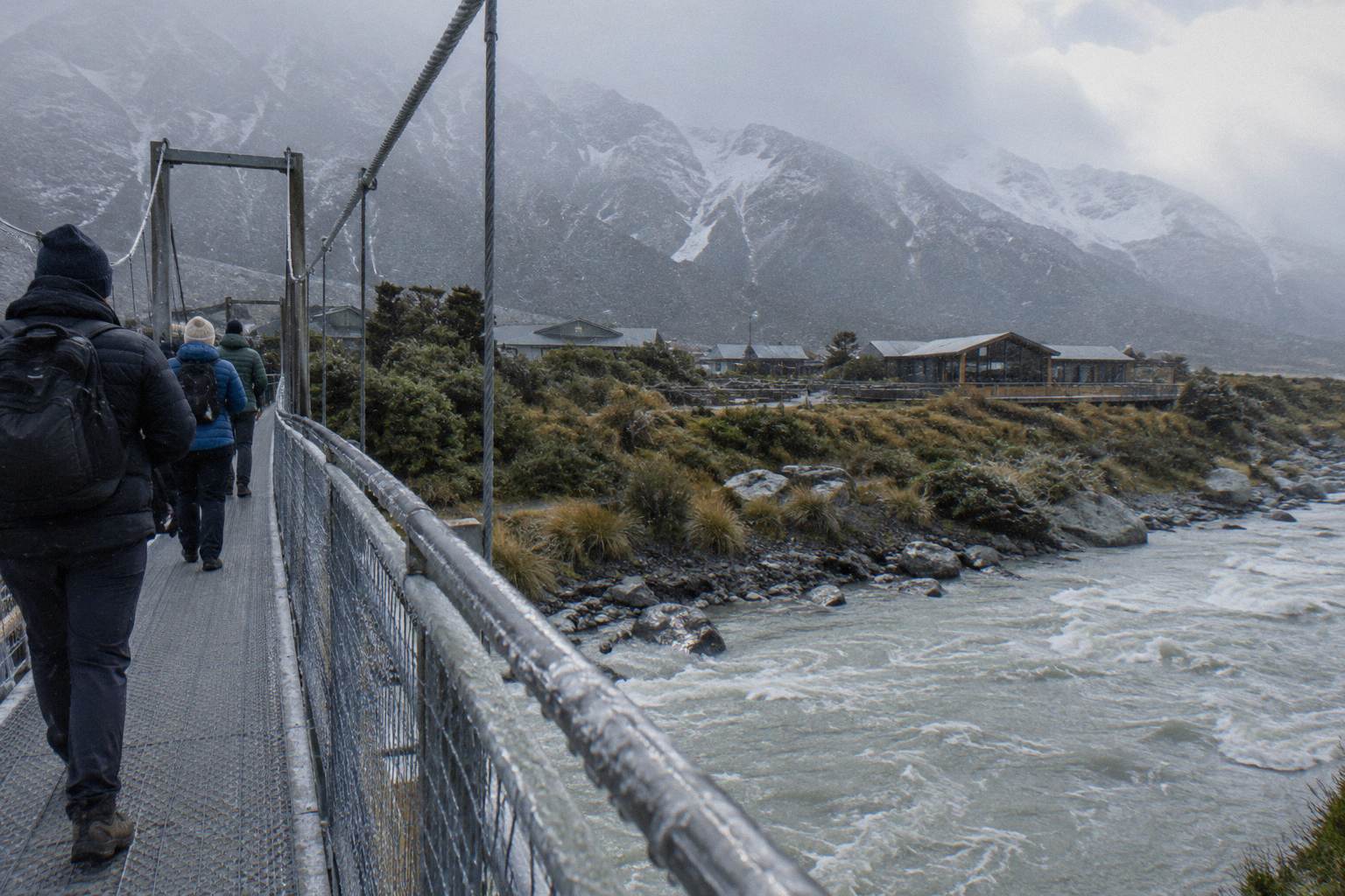
The other tour option from Lake Tekapo shapes the day differently. The Small Group, Carbon Neutral tour from Cheeky Kea Tours runs 5 hours from NZ$275 per person, meets at the Dark Sky Project or Peppers Bluewater Resort, includes a pre-ordered Fairlie Bakehouse lunch, and covers the village and national park with optional walks rather than a fixed 3-hour Hooker Valley block. Its 4.4 rating comes from 58 reviews. Fewer hours on the mountain means less exposure to an afternoon that turns, at the cost of the full valley walk. You can check the small-group carbon neutral day tour and check availability if that shape fits a marginal-weather day better.
The two day tours sit at different points on the price-and-time trade, and the gap between them is wide enough to matter for a weather-driven booking. The table below sets the lineup figures side by side, each tied to its own product.
| Tour | Duration | Price | Weather-Relevant Detail |
|---|---|---|---|
| Full-Day Shuttle Via Pukaki (Tekapo Shuttle) | 8.5 hours | from NZ$169 per person | Snow spikes when snowy; 3-hour Hooker Valley block |
| Small Group, Carbon Neutral (Cheeky Kea Tours) | 5 hours | from NZ$275 per person | Shorter mountain exposure; pre-ordered lunch included |
| Guided Transfer, Commentary (Cheeky Kea Tours) | 1 hour | from NZ$125 per person | One-way exit from the village if a forecast turns |
Between the two day tours and driving yourself sits a wider set of options. The small group tour or shared shuttle Mount Cook comparison breaks the trade down line by line, and the plain-language verdict in is Mount Cook day trip from Tekapo worth it is useful when weather is the reason you are hesitating. On a doubtful forecast, the deciding factor is usually who drives, not who walks.
Where Do You Check Each Condition?
Run three checks: the NZTA Journey Planner or 0800 4 HIGHWAYS for State Highway 80, the Department of Conservation track page for the Hooker Valley Track itself, and your tour operator's departure notice if you have booked one. Each source owns exactly one question, and none of the three answers the other two.
Keeping the three checks separate is what stops a bad day from surprising you. The road authority does not report track surfaces. The track page does not report the highway. The operator's notice reflects their own departure decision for their own product. A day can pass two checks and fail the third, and the failure order is predictable: road first, track second, tour third. The full index of guides sits on Tekapo Shuttle Mt Cook.
| Condition | Official Check | What It Decides |
|---|---|---|
| State Highway 80 status | NZTA Journey Planner or 0800 4 HIGHWAYS | Whether you can reach the village and trailhead at all |
| Chain requirements on alpine highways | Same NZTA sources, stated in the closure advice | Whether the drive demands winter driving gear |
| Hooker Valley Track status | Department of Conservation track page | Whether the walk is open, and any works notice |
| Tour departure | The operator's booking page and pre-departure notice | Whether your booked tour runs that day |
| Parking at White Horse Hill | Department of Conservation, fees NZ$2.50 per half hour or NZ$25 a day | Where you leave the car if driving |
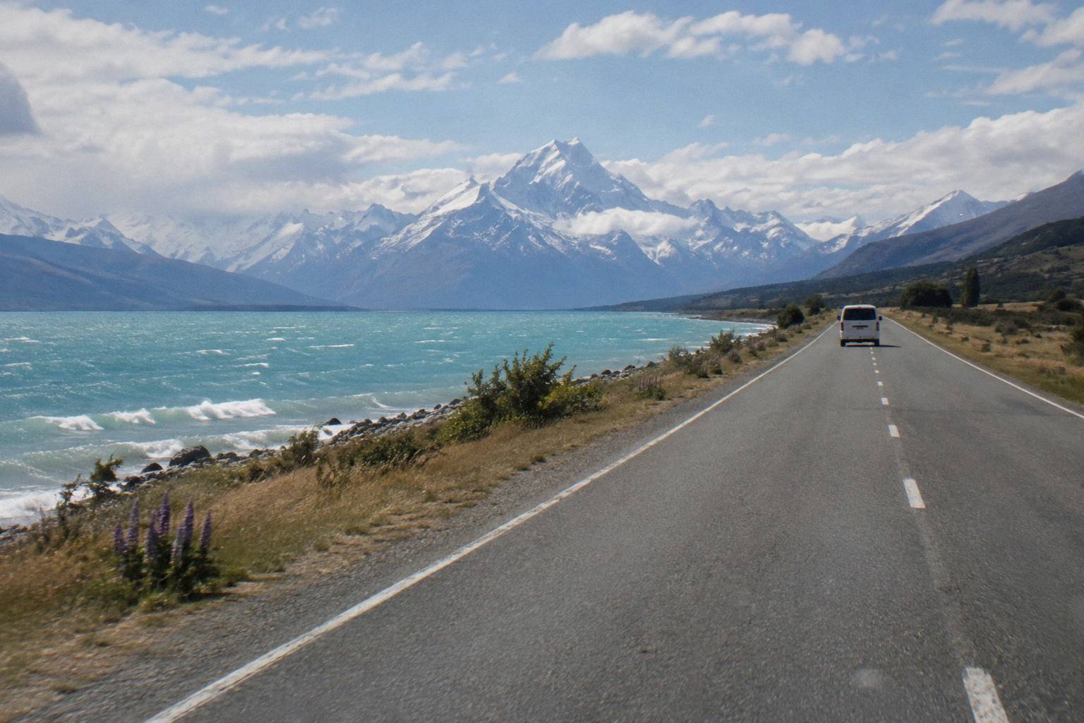
Two small practical notes round this out. The village has a self-service petrol pump, credit card only, so a winter drive does not need a fuel stop worked out in advance, but nothing about fuel on Highway 80 itself is sourced, so arrive with more than you need. And the Aoraki / Mount Cook National Park Visitor Centre in the village opens daily, which makes it the natural place to ask a human about track conditions on the morning of the walk. For the drive up, the Lake Pukaki viewpoint on the way to Mount Cook guide covers Peters Lookout, the rest area NZTA improved in its Mackenzie Basin pull-over works, where the first real read on the mountain weather usually happens.
What Trips People Up Before You Walk
Three things catch walkers out: assuming a clear Lake Tekapo morning means an open Highway 80, treating the 3-hour return time as a worst case rather than a good-conditions figure, and forgetting that the parking fee clock at White Horse Hill starts on arrival. Snow can close the road overnight, ice slows every leg, and the free-within-20-minutes parking rule only covers a genuine drop-off.
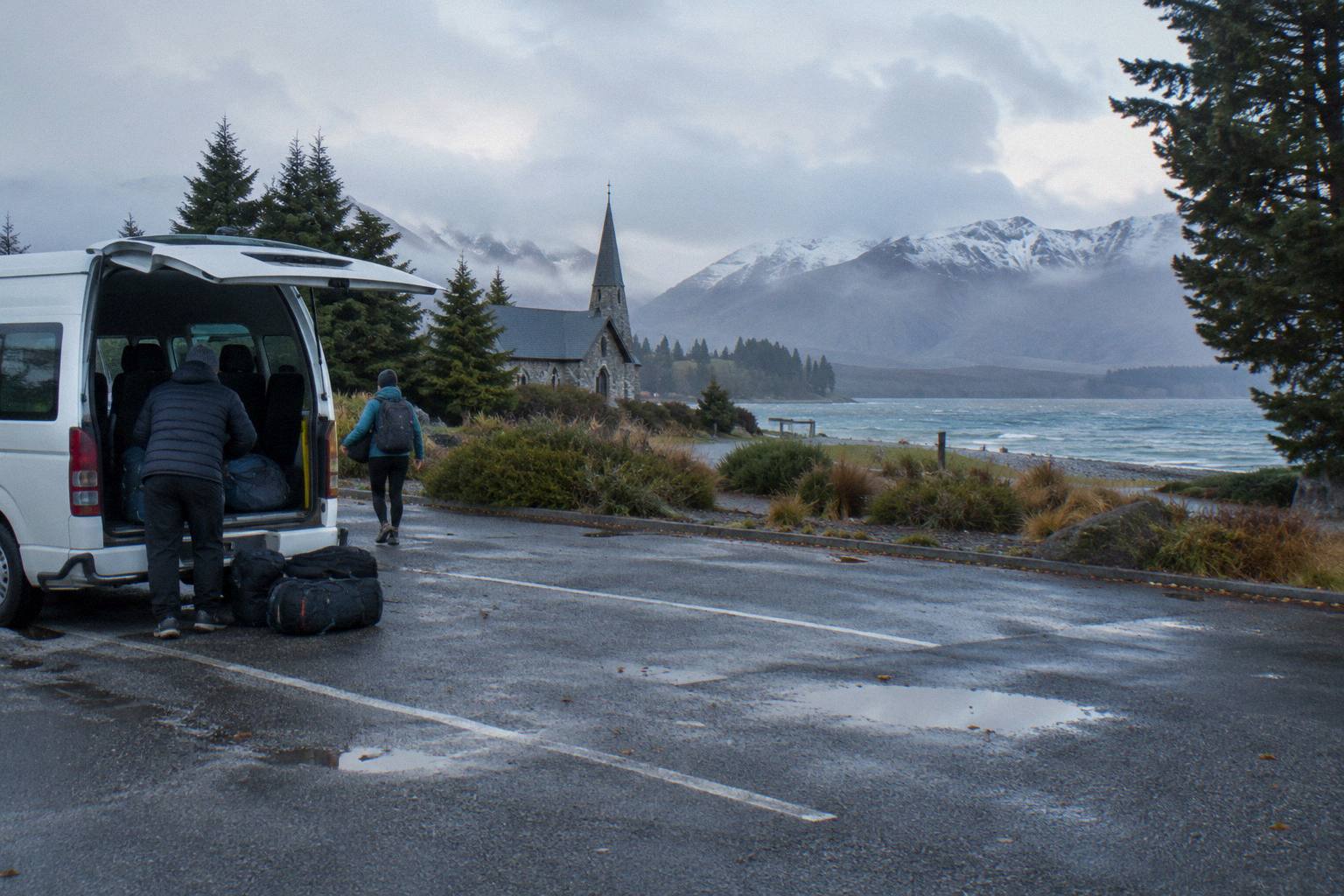
The clearest mistake is checking nothing. The second is checking the wrong thing, usually the forecast but not the road. A third is anchoring on the 3-hour return figure from a summer surface: it is the Department of Conservation's time for the walk in normal conditions, not a guarantee for a day with ice on the bridges. Walkers who budget exactly 3 hours plus the drive leave no margin for a slower middle leg or a cautious crossing.
Parking deserves its own line. The Department of Conservation charges NZ$2.50 per half hour or NZ$25 a day at White Horse Hill, free only if you arrive and leave within 20 minutes. Anyone walking the full track is paying the daily figure by arithmetic, so price the day accordingly. The shuttle day tour sidesteps this: its itinerary includes that free shuttle from the Hooker Valley car park every 30 minutes through the early afternoon, which is also the regroup mechanism.
The fourth trap is booking nothing and driving anyway on a chain-required day. If alpine driving is outside your comfort, the Mount Cook without a car guide lays out the car-free routes in, and the one-way products serve a different shape of trip: the Lake Tekapo to Queenstown via Mount Cook tour turns weather risk into an onward itinerary rather than a round trip. Prices vary by date and the booking page shows the price for the date you choose.
Should You Plan Around Winter At All?
Yes, with the right shape of day. Winter shifts the risk from the walk to the drive, and the operator's own schedule reflects that: the Full-Day Shuttle Via Pukaki meets at 8:30 from June to August, half an hour later than its 8:00 meeting from September to May. Booking a seat puts the winter road in a driver's hands and the ice underfoot in borrowed snow spikes.
Winter also changes what the alternatives look like. The small-group day tour's 5-hour shape leaves the valley before the shortest days close in, and its carbon-neutral one-way transfer products, including the guided transfer from Mount Cook to Lake Tekapo from NZ$125 per person, give a car-free traveller an exit route if a forecast turns multi-day bad. No timetable or fare detail beyond the lineup prices is sourced, so treat those as planning figures and confirm on the booking page.
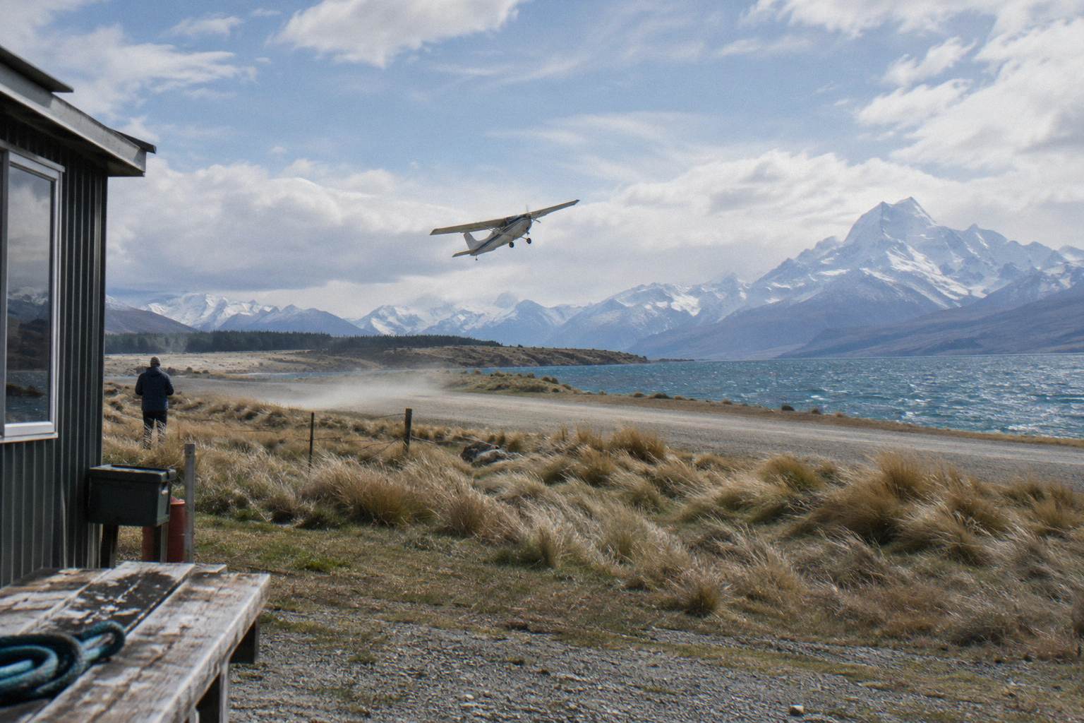
The flight products are the one class of option that reads weather differently, because they are weather-dependent by nature and priced at a different level: the Helicopter With Alpine Landing from INFLITE at Mount Cook Airport is from NZ$349 per person, rated 4.8 from 538 reviews, and the Ski Plane And Helicopter Combo from NZ$499 per person carries a 4.7 from 387 reviews. On a day when the valley is fogged but the sky above is clear, these become the realistic way to see the mountains, though they start in the village, so the road check still governs. Our Mount Cook scenic flight from Tekapo guide covers the Tekapo-based flying option, a 50-minute flight from NZ$565 per person rated 4.9 from 139 reviews.
For season planning at the wider level, the Hooker Valley Track in winter guide is the dedicated deep dive, and what is the best time to visit Mount Cook covers the year-round question. Neither can state lupin months or weather statistics, because no official source for those is listed; the answer is that the season question is a road-and-daylight question, and those are checkable.
How Does A Weather Day Actually Run On The Shuttle?
On the Full-Day Shuttle Via Pukaki, the day is structured so the weather decisions are made for you: Peters Lookout first, a Tasman Glacier View or Tasman River Track stop around 10:15, an optional Hermitage drop around 10:00, the Hooker Valley from about 11:30 with about 3 hours allowed, and a 15:00 regroup before the return to Tekapo. Total duration is 8.5 hours.
The structure matters in poor weather because the itinerary already contains the fallbacks. The Tasman River Track option, 50 minutes and 2.5 km return, avoids the 300+ steps of the Tasman Glacier View Track, which is the operator's own bad-surface alternative on that side of the village. The Hermitage drop is optional and short. The Hooker Valley block is the anchor, and the free car-park shuttle running every 30 minutes from 1:00 to 2:30 PM means a walker who turns back early is not stranded at the road end. The operator, who trades as Tekapo Shuttle, publishes these times for its own tour only; no other product's clock times are printable.
The operator-stated shape of the day, in the order the itinerary lists it:
| Stage Of The Day | Operator-Stamped Timing | Weather Role |
|---|---|---|
| Meet at Four Square Tekapo | 8:00 Sep to May, 8:30 Jun to Aug | Later winter start for road conditions |
| Peters Lookout stop | En route | First read on the mountain weather |
| Optional Hermitage drop / Tasman stop | Around 10:00 / 10:15 | Steps option or river-track fallback |
| Hooker Valley walk | From about 11:30, about 3 hours | The anchor walk, spikes when snowy |
| Free car park shuttle | Every 30 min, 1:00 to 2:30 PM | Early-turnback pickup |
| Regroup and return | 15:00 regroup | Total 8.5 hours |
For a self-driver matching that shape, the arithmetic is: about 40 minutes from Lake Tekapo to Lake Pukaki on State Highway 8, then the run up Highway 80; the lake itself covers 178.7 sq km, fed by glaciers, and the first 31 km of the highway run along it. Glentanner Park, about 24 km or 15 minutes south of the village, is the last landmark before the alpine end of the road. The full drive logic, distances and stops are in the Tekapo to Mount Cook distance and drive time guide.
If the day collapses entirely, the one-way products are the repair kit. A traveller stuck in the village can take the guided transfer back toward Tekapo from NZ$125 per person, or the onward Lake Tekapo to Queenstown via Mount Cook tour, 9 hours with a picnic lunch and hotel drop-off in central Queenstown, from NZ$359 per person. Check availability and confirm the live price for your date on the booking page.
Common Questions About Hooker Valley Conditions
What Is The Hooker Valley Track Weather Like?
No temperature, rainfall, snowfall or wind statistic is sourced for the track or the village, so no fixed figures can be given. What is sourced is the process: check the NZTA Journey Planner or call 0800 4 HIGHWAYS for State Highway 80, and the Department of Conservation Hooker Valley Track page for the walk itself, on the day.
Can Snow Close The Hooker Valley Track?
Snow, ice, avalanche and floods can close State Highway 80, the road to the trailhead, and the Department of Conservation track page carries closure and works notices for the walk. At the time of research no notice was posted, but conditions change, so read the live pages on the day rather than relying on any printed status.
Do I Need Snow Spikes For The Hooker Valley Track?
The shared Full-Day Shuttle Via Pukaki includes snow spikes when snowy, per that operator's itinerary, so booked walkers get them on the day they are needed. Self-drivers need to bring their own traction for icy conditions; no gear hire price in the village is sourced, so check when booking if you plan to rent.
How Long Does The Walk Take In Bad Weather?
The Department of Conservation gives about 3 hours return from White Horse Hill car park in normal conditions. Treat that as a good-conditions figure, not a worst case: the legs are 15, 30 and 45 minutes one way, and ice on the bridges or a strong head day will slow each of them.
Does The Shuttle Day Tour Still Run In Winter?
The Full-Day Shuttle Via Pukaki runs a winter schedule, meeting at Four Square Tekapo at 8:30 from June to August against 8:00 from September to May. Whether any particular departure runs is the operator's call on the day, so check the cancellation terms on the booking page before committing to a winter date.
Where Do I Park At White Horse Hill If I Drive Myself?
White Horse Hill car park is at the end of Hooker Valley Road, 2.5 km from the village. The Department of Conservation charges NZ$2.50 per half hour or NZ$25 a day, free only if you arrive and leave within 20 minutes, so full-track walkers should budget the daily figure.
Weather decides the day, but it does not have to decide it badly. The walker who checks the road, checks the track, and knows which tour carries spikes has turned a gamble into a plan, and the walkers who arrive with margin in the schedule are the ones still enjoying the bridges when the afternoon turns.