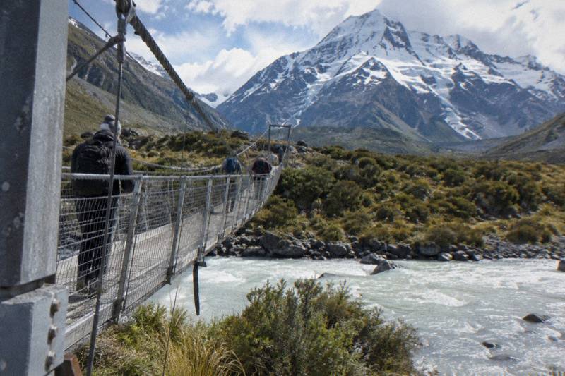
Mount Cook Road Conditions And Winter Driving
State Highway 80 is the only road into Aoraki / Mount Cook Village, and snow, ice, avalanche and floods can all close it. Here is what the road is like, where to check it before you set out, and how a shuttle takes the winter driving decision off your plate.
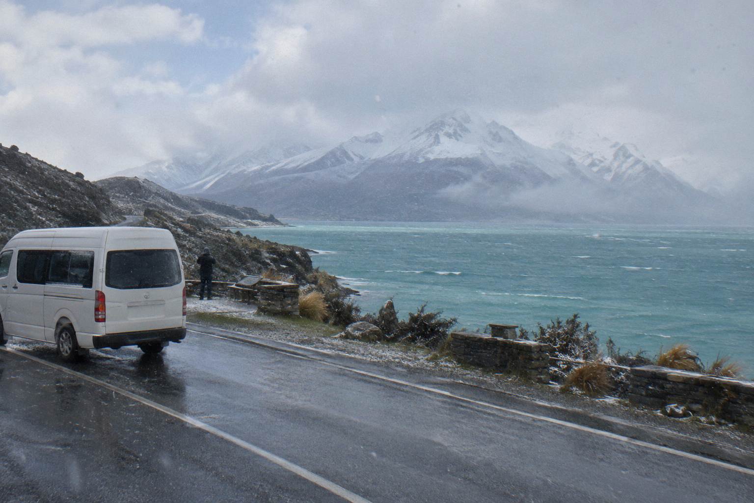
Short answer
State Highway 80 runs 54.7 km from State Highway 8 at Lake Pukaki to Mount Cook Village, and snow, ice, avalanche and floods can close it. Check the NZTA Journey Planner or call 0800 4 HIGHWAYS before travel. Chains are often required in snow and ice, and a driver-focused day shuttle from Tekapo avoids the worry entirely.
In short: the Mount Cook road, State Highway 80, is a 54.7 km mostly two-lane highway from State Highway 8 at Lake Pukaki to Mount Cook Village, and it is the only way in. Snow, ice, avalanche and floods can all close it, chains are often required in snow and ice, and the NZTA Journey Planner or 0800 4 HIGHWAYS are the places to check before you travel. If any of that sounds like stress you would rather skip, the Full-Day Shuttle Via Pukaki puts a local driver on that road instead of you.
Quick Facts
The essentials of the Mount Cook road fit on one card: State Highway 80 is 54.7 km long, runs from State Highway 8 at Lake Pukaki to the village, and is maintained by the NZ Transport Agency. Snow, ice, avalanche and floods can close it, so the NZTA Journey Planner and the 0800 4 HIGHWAYS line are your pre-travel checks. Fuel is limited to a credit-card-only self-service pump in the village.
| Fact | Detail |
|---|---|
| Road name and number | State Highway 80 (Mount Cook Road) |
| Length | 54.7 km, from State Highway 8 at Lake Pukaki to Mount Cook Village |
| Who maintains it | NZ Transport Agency |
| First stretch | 31 km beside Lake Pukaki, Mackenzie Basin on one side, Ben Ohau Range beyond |
| Lane layout | Mostly two lanes, a few single-lane bridges |
| Tekapo to Lake Pukaki | 62.9 km, about 40 minutes on State Highway 8 |
| Tekapo to the village | About 1 hour 15 minutes |
| Closure causes | Snow, ice, avalanche and floods |
| Where to check | NZTA Journey Planner or 0800 4 HIGHWAYS |
| Petrol | Self-service pump in the village, credit card only |
What The Mount Cook Road Is Actually Like To Drive
The Mount Cook road is State Highway 80, a 54.7 km NZ Transport Agency highway running from State Highway 8 at Lake Pukaki to Mount Cook Village, mostly two lanes with a few single-lane bridges. The first 31 km run north beside Lake Pukaki with the Mackenzie Basin on one side and the Ben Ohau Range beyond. It is sealed the whole way, and there is no alternative route into the village.
That single fact shapes every driving decision in this guide. If the road closes, there is no back road, no scenic detour, no second pass through the mountains. You wait, or you change plans. Every driver from Tekapo, Twizel or points south shares the same single thread into the village, which is why the checking habit in the next section matters more than route knowledge.
From Lake Tekapo the trip has two stages. Tekapo township to Lake Pukaki is 62.9 km, about 40 minutes on State Highway 8. The turn onto State Highway 80 happens at the lake, and from there the village is about 1 hour 15 minutes total from Tekapo. Budget the whole drive at about 1 hour 15 minutes without stops, and longer with them, because the pull-over areas along the lake shore invite you to use them.
The road's character matters for confidence as much as for time. It is not an alpine pass with hairpins. It is a basin road: long straights and gentle curves beside a glacier fed lake, then a valley run toward the village. The single-lane bridges are the main quirk, and they are signposted. Give way as marked, and the etiquette is simply patience. The State Highway 80 encyclopaedia entry confirms the length, the route and the two-lane character if you want the geometry from the source.
Two landmarks help you plan fuel and rest stops. Glentanner Park sits on State Highway 80 at the northern end of Lake Pukaki, about 24 km, or 15 minutes, south of the village. Peters Lookout is a rest area on the highway over the lake, one of the spots improved in the NZTA's Mackenzie Basin pull-over area works. Both appear again in the stops section below, because they are also the natural places to break a winter drive.
For orientation, the wider distance and drive time picture from Tekapo covers the same corridor with the timetable expanded, and it is worth a read if you are still deciding whether the drive fits your day at all.
What Can Close The Mount Cook Road
Four things can close State Highway 80: snow, ice, avalanche and floods. The NZ Transport Agency and the Department of Conservation both list these causes, and chains are often required on alpine highways in snow and ice. No current closure or condition should be assumed from any general statement, including anything printed before your travel dates: the only reliable picture is the live one.
The framing is that this is a road into high country, and the agencies that manage it treat closures as routine business rather than emergencies. A closure can last hours or a day. It can also be partial, with the road open but controlled, or open only to vehicles carrying chains. What it cannot be is predicted from a season name: snow has closed the road outside the deepest winter weeks, and long dry stretches have left it bare in July.
Avalanche is the cause drivers most often forget. The valley section near the village sits under terrain that can release, and after heavy snow the road authority may close the highway while control work happens. Floods are the fourth cause, usually from rain events in the catchments the road crosses. You do not need to forecast any of this yourself. You need to check the live state of the road on the day, and again on the morning you drive.
That checking habit is the whole game, and it costs two minutes. The section below gives the exact tools. If reading about avalanche closures makes you reconsider driving at all, that is a reasonable reaction, and it is exactly why guided transport from Tekapo exists: the driver checks, you ride.
| Closure cause | What triggers it | What it means for you |
|---|---|---|
| Snow | Snowfall settling on the highway | Road may close or require chains; check the Journey Planner before departing |
| Ice | Freezing conditions on the two-lane surface | Chains often required on alpine highways in snow and ice |
| Avalanche | Snow release from terrain above the valley section | Road closes while control work runs; duration is announced live |
| Floods | Rain events in the catchments the road crosses | Closures and delays announced live on the same channels |
If a closure lands on your only day in the Mackenzie, a backup plan built before you travel saves the day. The dark sky reserve's own pages note that the reserve can be visited year-round, and Lake Tekapo sits inside it, so an evening of stargazing around the township is a genuine consolation rather than a consolation prize.
Where To Check Mount Cook Road Conditions Before You Drive
Check the NZTA Journey Planner at journeys.nzta.govt.nz, or call 0800 4 HIGHWAYS, before you travel. Those are the two channels the agencies themselves name. For track and park questions once you arrive, the Aoraki / Mount Cook National Park Visitor Centre in the village opens daily, and it is the right place for conditions on foot rather than on wheels.
The NZTA Journey Planner shows live highway state, closures and warnings. Book it on your phone the night before and again at breakfast, because mountain conditions change overnight. The phone line, 0800 4 HIGHWAYS, does the same job by voice and is worth saving before you lose signal in the basin. Cell coverage on State Highway 80 is patchy, so check while you still have data in Tekapo.
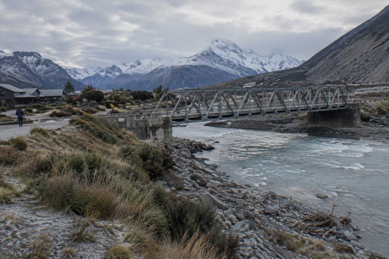
Different situations call for different checks, so here is the short version by scenario.
| Your situation | Where to check | What it answers |
|---|---|---|
| Driving to the village tomorrow | NZTA Journey Planner or 0800 4 HIGHWAYS | Is State Highway 80 open, closed or under warning |
| Snow or ice forecast on your dates | NZTA Journey Planner and your rental company's chain policy | Are chains required, and are you allowed to fit them |
| Walking the Hooker Valley once there | The DOC Hooker Valley Track page and the village Visitor Centre | Track state, bridge and track notices |
| Planning where to stop for photos | The NZTA Mackenzie Basin pull-over areas project page | Which rest areas exist and which were improved |
| Wondering about fuel | The Mackenzie district travel pages | The village has a credit-card-only self-service pump |
Two habits make the table work. First, check on the day, not the week before: a road report older than your breakfast is a historical document. Second, separate the road question from the track question. The highway can be bare and dry while a track in the village has a notice, or the reverse. The Visitor Centre, which opens daily in the village, covers the second question, and the Department of Conservation's visitor centre page has the contact details.
If you would rather have someone else absorb this routine, that is a legitimate reason to book seats rather than drive. A shuttle driver whose working week is this road checks these channels as a matter of course, and the Full-Day Shuttle Via Pukaki from Tekapo, from NZ$169 per person, includes snow spikes when the operator judges them needed for the walk. Check availability on the booking page, where the price for your chosen date is shown.
Do You Need Chains Or A 4WD For Winter Driving
Chains are often required in snow and ice on alpine highways, and that is the agencies' wording, not a prediction about your dates. Whether a 4WD helps depends on your rental agreement, because many companies require chains even on 4WD vehicles. No temperature, snowfall or season-date figure is listed from any official source here, so treat any month-by-month claim you read elsewhere with caution.
The practical sequence for a self-drive winter trip looks like this. Confirm at the rental desk that chains come with the car and that you are permitted to fit them, because some agreements prohibit it. Practise fitting them once in a dry car park, not on a shoulder in falling snow. Carry them where you can reach them without unpacking the boot. And check the Journey Planner on the morning itself, since a chain requirement is usually announced live rather than days ahead.
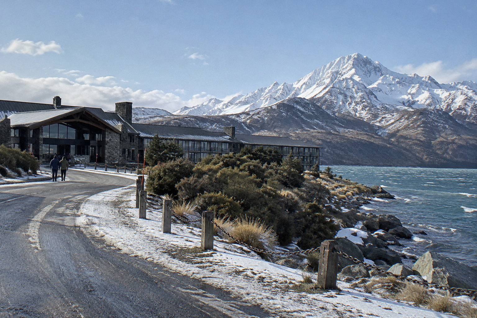
A 4WD or all-wheel drive changes confidence more than requirement. It can be the better tool on a snow-dusted two-lane highway, but the closure causes on this road, avalanche and floods among them, do not care about your drivetrain. When the road authority shuts State Highway 80, it shuts for everyone, and the question stops being about the vehicle and becomes about time.
That is the real argument for guided transport in the cold months, and it is a small-group versus shared-shuttle choice more than a chains question. The Small Group, Carbon Neutral day tour from Cheeky Kea Tours, from NZ$275 per person, runs 5 hours with hotel pickup in Tekapo and lunch pre-ordered from Fairlie Bakehouse, and its whole pitch is letting a professional hold the wheel. The trade is money for a calm morning, and only you can price that.
If winter is the season you are weighing, the broader weather picture for Mount Cook day trips is worth a read before you commit to dates, because the road and the sky are two halves of the same decision.
Where To Stop, Park And Refuel On The Way
Peters Lookout is a rest area on State Highway 80 over Lake Pukaki, improved in the NZTA pull-over area works, and it is the signature roadside stop. Glentanner Park sits at the lake's northern end, about 24 km or 15 minutes south of the village. The only petrol listed is a self-service pump in the village, credit card only, so arrive with more than you think you need.
The pull-over story is better than it used to be. The NZTA's Mackenzie Basin pull-over areas project improved a string of rest areas on these highways, including Peters Lookout, precisely because drivers were stopping in unsafe spots to photograph a glacier fed lake. Use the built ones. The view from the lookout is over Lake Pukaki, which covers 178.7 sq km and is fed by glaciers, and the mountain itself is what most cameras are aimed at.
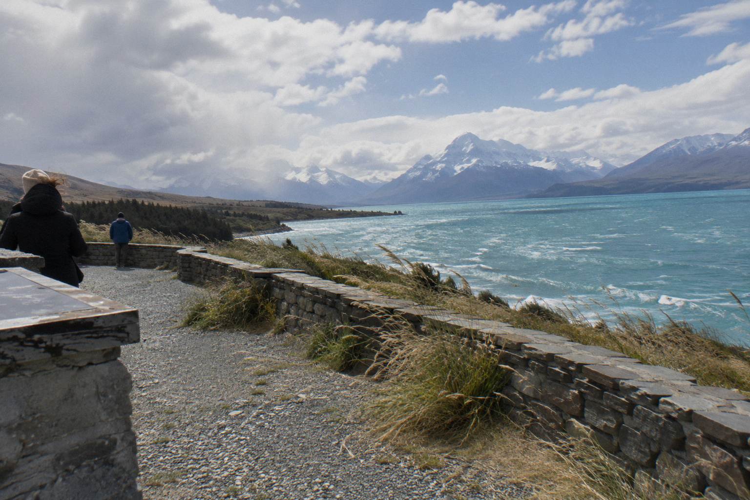
Fuel is the quiet trap. No fuel stop on the route is listed outside the village pump, and that pump is self-service and credit card only. Coming from Tekapo, the safe habit is a full tank before you leave town and a plan that does not depend on finding fuel mid-route. If that sounds like the kind of logistics you would rather not carry, this is another point in the shuttle column: fuel, parking and timing all belong to the operator.
Parking at the walk end matters too. The White Horse Hill car park at the start of the Hooker Valley Track is 2.5 km from the village, and the Department of Conservation charges NZ$2.50 per half hour or NZ$25 a day, free only if you arrive and leave within 20 minutes. The Tasman Valley car park at the end of Tasman Valley Road is free for cars and campervans and very busy November to April. A full breakdown of options sits in the guide to Hooker Valley parking and shuttle drop-off.
| Sourced legs and stops of the route | Figure | Source type |
|---|---|---|
| Lake Tekapo township to Lake Pukaki | 62.9 km, about 40 minutes | District travel pages |
| State Highway 8 junction to Mount Cook Village | 54.7 km on SH80 | Highway reference |
| Lake Pukaki stretch of SH80 | First 31 km beside the lake | Highway reference |
| Glentanner Park to the village | About 24 km, 15 minutes | District travel pages |
| Lake Tekapo to the village, total | About 1 hour 15 minutes | District travel pages |
Why A Shuttle Takes The Road Stress Off You
Every worry in this guide, closures, chains, fuel, single-lane bridges and parking charges, transfers to the operator when you book a seat instead of a car. The Full-Day Shuttle Via Pukaki from Tekapo runs 8.5 hours for from NZ$169 per person, meeting at Four Square Tekapo at 8:00 from September to May and 8:30 from June to August, with Wi-Fi, snacks and snow spikes when snowy.
The clock details are the operator's own itinerary, and they show how much decision-making a seat buys. The day includes a stop at Peters Lookout, an optional Hermitage drop, Tasman Glacier View or the Tasman River Track around 10:15, and the Hooker Valley from about 11:30 with roughly 3 hours return. A free shuttle runs from the Hooker Valley car park every 30 minutes from 1:00 to 2:30 PM, which quietly deletes the NZ$25 parking question for walkers on the tour. Lunch is not included. The tour carries a 4.9 rating from 449 reviews.
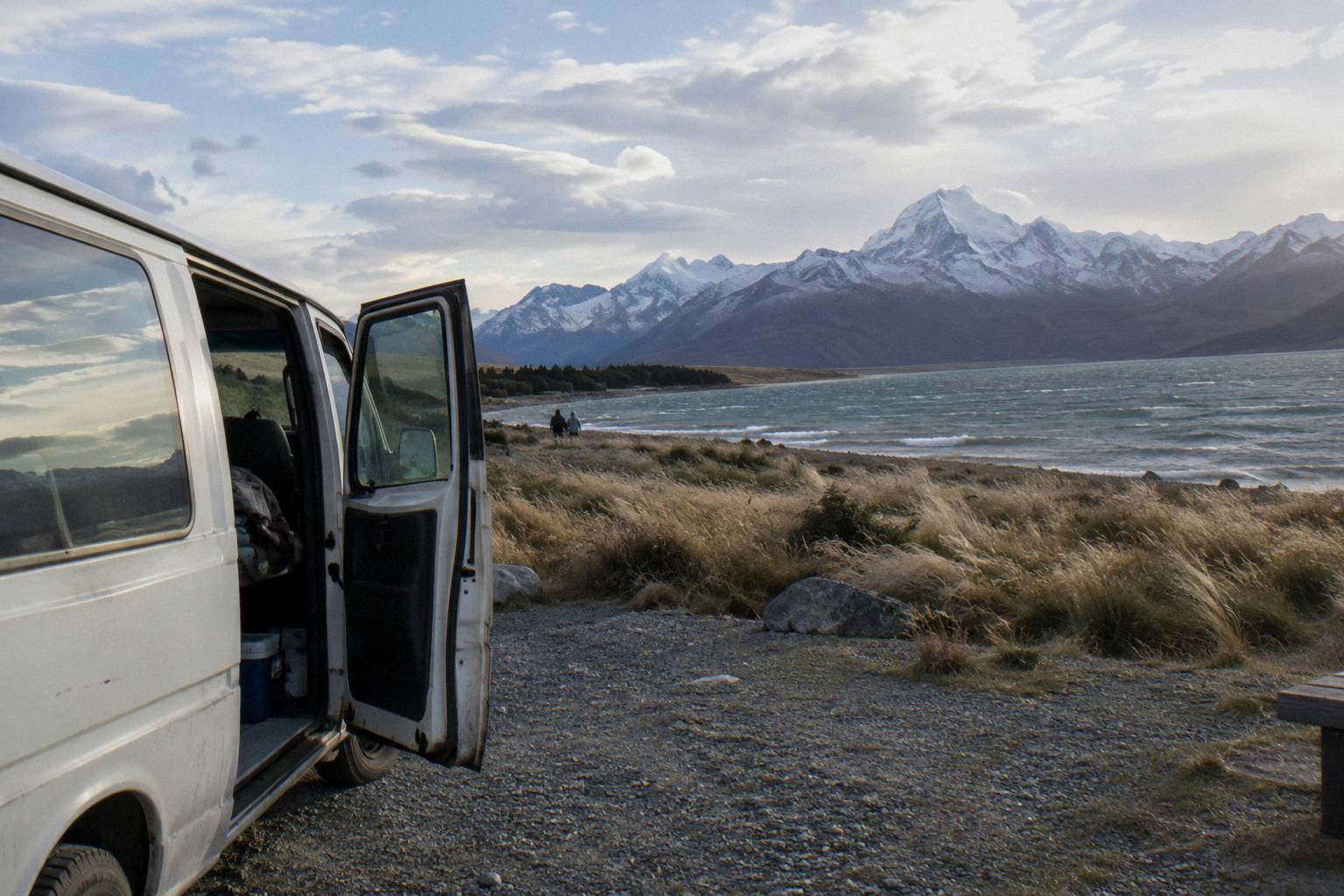
Winter is when the trade is sharpest. On a cold-morning departure you walk to the meeting point rather than scraping a windscreen, and the driver carries the chain policy, the fuel plan and the live road check. The same logic applies if your trip continues south: the Onward To Queenstown Via Mt Cook one-way small group tour from Cheeky Kiwi Travel runs 9 hours from Tekapo for from NZ$359 per person, with a picnic lunch, luggage allowance and hotel drop-off in central Queenstown, so the road-stress argument extends past the village to your whole route.
| Road worry in this guide | Driving yourself | On a booked shuttle tour |
|---|---|---|
| Live closure check on SH80 | Your job, morning of travel | The operator's routine |
| Chains in snow and ice | Your rental agreement and your hands | The operator's vehicle and policy |
| Fuel on the route | Full tank plus the credit-card-only village pump | Operator's responsibility |
| Parking at White Horse Hill | NZ$2.50 per half hour or NZ$25 a day | Included stop, free shuttle from the car park 1:00 to 2:30 PM |
| Single-lane bridges and ice | Your attention on an unfamiliar highway | A driver who runs the road weekly |
Travellers with onward plans should also skim the comparison of driving yourself versus taking a shuttle, because the choice interacts with how many stops you want at the lake and whether a 4WD rental is already paid for. One-way options deserve their own look too, covered in the guide to one-way transfers between Tekapo and Mount Cook.
For the return leg alone there is a lighter option. The Guided Transfer, Commentary from Cheeky Kea Tours runs Mount Cook village to Tekapo in about 1 hour for from NZ$125 per person, carbon neutral, with Wi-Fi and commentary, which pairs well with an independent drive north and a guided ride back. Check availability on the booking page if that split suits your dates, since prices vary by date.
What Trips People Up Before You Book Or Drive
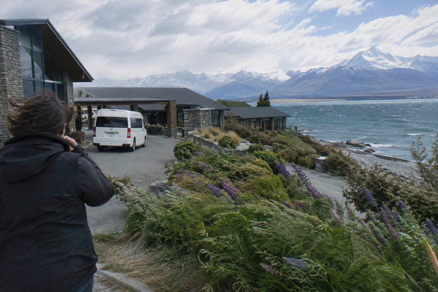
The recurring mistakes are assuming the road behaves by season, skipping the morning check, arriving without a fuel plan, and treating a clear highway as a clear track. People also book tight connections with no buffer for a closure, and forget that parking at White Horse Hill is charged by the half hour. Each of these is avoidable with a two-minute habit and a booked seat or a full tank.
The season assumption deserves its own line. No month is guaranteed open or guaranteed closed, and no official snowfall or temperature figure backs any "safe month" claim. The agencies' own guidance is to check the Journey Planner or call 0800 4 HIGHWAYS before travel, full stop. Build your itinerary so that a closure costs you a fallback day in Tekapo rather than a missed flight, and the road loses most of its power to ruin a trip.
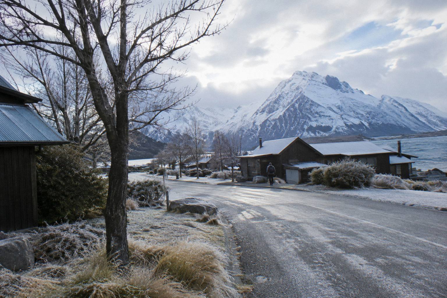
Booking-side mistakes cluster around terms and timing. Check the cancellation terms on the booking page before you pay, once, because operator terms differ and this comparison site does not print them per product. If snow is plausible on your dates, a tour with a driver beats a rental you may not be allowed to fit chains to. And whatever you book, the live price for your chosen date is on the booking page; lineup prices here are per person starting points in New Zealand dollars, and dates shift them.
If your day depends on the Hooker Valley walk specifically, read the guide to Hooker Valley weather and conditions before locking dates, because the walk has its own notices independent of the highway. The site Tekapo Shuttle Mt Cook exists to keep those two threads, road and track, separated and sourced, so use both pages rather than one.
Common Questions About The Road To Mount Cook
Can The Mount Cook Road Close?
Yes. Snow, ice, avalanche and floods can all close State Highway 80, the only road into the village. Check the NZTA Journey Planner or call 0800 4 HIGHWAYS before you travel, and check again on the morning itself.
Do I Need Snow Chains On State Highway 80?
Chains are often required in snow and ice on alpine highways. Whether you must carry or fit them depends on conditions on the day and your rental agreement, and many companies require chains even on 4WD vehicles. Confirm at the rental desk before you leave.
How Long Is The Mount Cook Road?
State Highway 80 runs 54.7 km from State Highway 8 at Lake Pukaki to Mount Cook Village. The first 31 km run beside the lake. From Lake Tekapo the total drive to the village is about 1 hour 15 minutes beyond the 62.9 km, roughly 40 minute run to the lake.
Where Is The Nearest Petrol To Mount Cook Village?
The only fuel stop listed is a self-service pump in the village itself, credit card only. No other fuel station on the route is on record, so fill up before you drive and treat the village pump as backup.
Is The Mount Cook Road Open In Winter?
It is kept open year-round by the NZ Transport Agency, but closures from snow, ice, avalanche and floods can happen in any cold spell and are announced live. No condition should be assumed from the calendar. Check the Journey Planner on your travel morning.
Can I Skip Driving The Mount Cook Road Altogether?
Yes. The Full-Day Shuttle Via Pukaki runs from Tekapo for from NZ$169 per person over 8.5 hours, meeting at Four Square Tekapo, and small-group and one-way options also run on the same corridor. A seat moves the road checks, chains and fuel onto the operator.