Hooker Valley Track Time, Length And Difficulty
The Hooker Valley Track takes about three hours return from White Horse Hill car park, split into three legs of 15, 30 and 45 minutes, and its difficulty sits in the bridges and the distance rather than in any climb.
Short answer
The Hooker Valley Track takes about 3 hours return from White Horse Hill car park: 15 minutes to the first swing bridge, 30 more to the second, then 45 minutes to Hooker Lake, covering 5 km each way. The walk is broadly flat walking track with two swing bridges, including a 189 m bridge that opened in July 2026. Difficulty is moderate: distance and bridges, not steepness.
The Hooker Valley Track takes about 3 hours return from White Horse Hill car park, and the Department of Conservation breaks that into three clean legs: 15 minutes to the first swing bridge, 30 minutes from there to the second, and a final 45 minutes out to Hooker Lake. Out and back you cover about 5 km each way on walking track, crossing two swing bridges, one of them 189 m long. Nothing about the track is steep in the way the region's other walks are, so your planning question is less "can I manage it" and more "does three hours fit my day".
If you are walking it on a day trip, start with the planning a Mount Cook day trip from Lake Tekapo guide, because time on track is exactly what sets your pacing. A shuttle that gives you the afternoon at White Horse Hill and a ride home changes the arithmetic completely compared with driving yourself.
| Fact | Detail |
|---|---|
| Track length | About 5 km one way, three DOC-signed legs |
| Total time | About 3 hours return from White Horse Hill car park |
| Leg 1 | 15 min / 1 km, car park to first swing bridge |
| Leg 2 | 30 min / 1.5 km, first bridge to second bridge |
| Leg 3 | 45 min / 2.5 km, second bridge to Hooker Lake |
| Start point | White Horse Hill car park, 2.5 km from Mount Cook Village |
| Signature structure | Second swing bridge, 189 m, opened July 2026 |
| Parking at White Horse Hill | NZ$2.50 per half hour or NZ$25 a day, free within 20 minutes |
Amounts on the page are New Zealand dollars.
How Long Does The Hooker Valley Track Take?
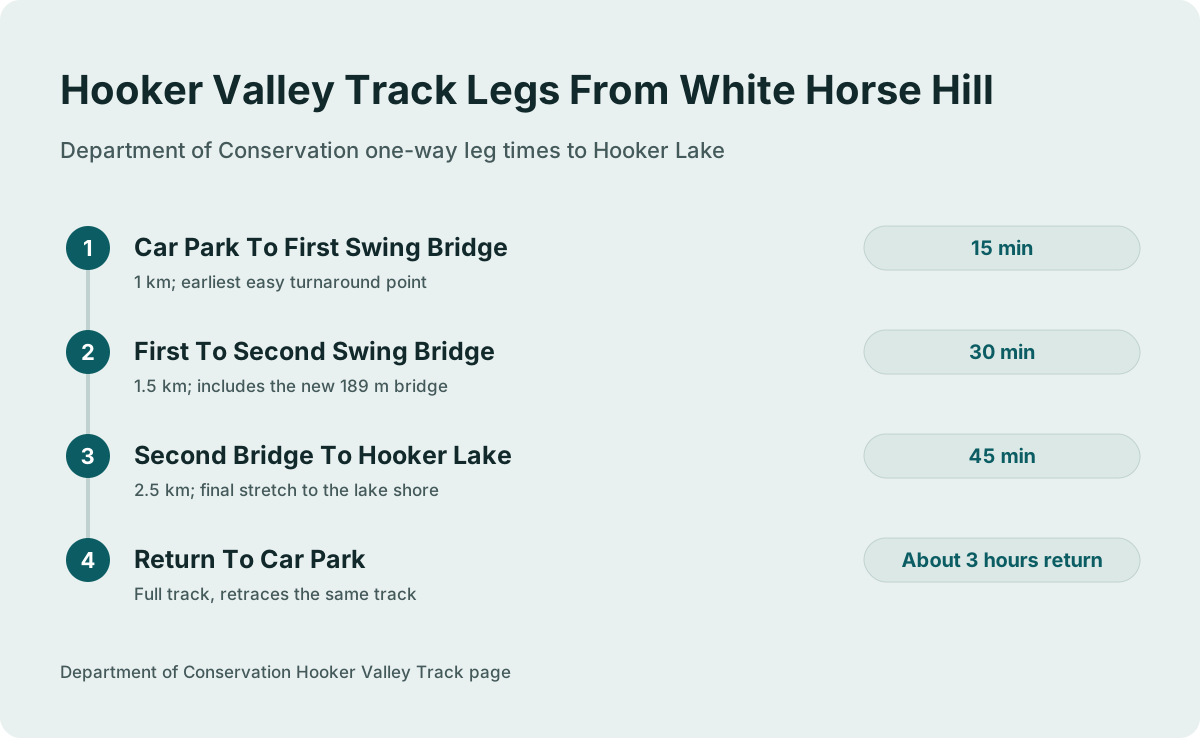
Plan for about 3 hours return from White Horse Hill car park, and treat that as a floor rather than a promise. The Department of Conservation measures the walk as three legs, 15 minutes to the first swing bridge, 30 minutes to the second, and 45 minutes out to Hooker Lake, roughly 90 minutes each way. The return trip retraces the same track over the same bridges, so 3 hours is the round figure the Department of Conservation gives.
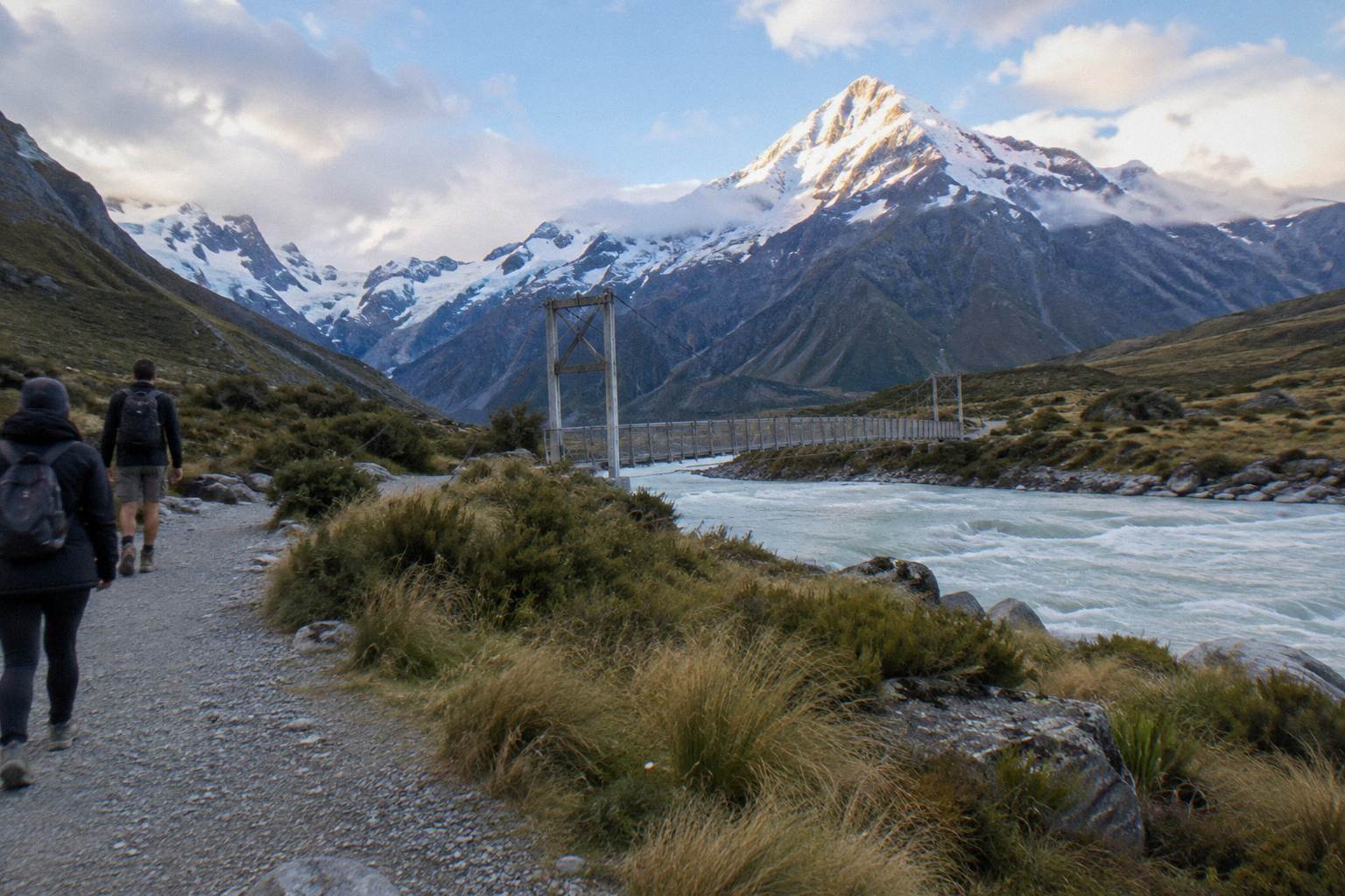
Those three numbers are the most useful planning tool you have, because they turn one long walk into three decision points. If the day is running late, or legs are tiring, the first swing bridge at 15 minutes is a legitimate short outing in its own right. The second bridge doubles the commitment, and Hooker Lake is the full distance. Turning around at any of them still gives you a real walk through the valley.
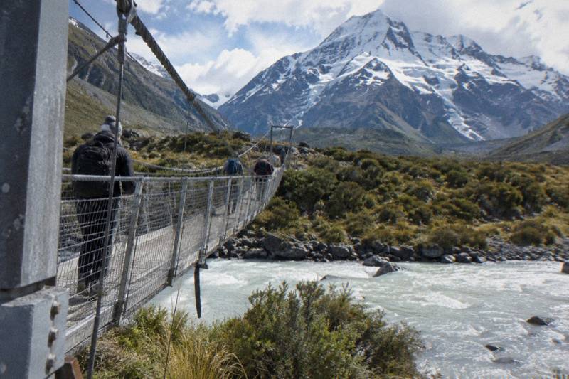
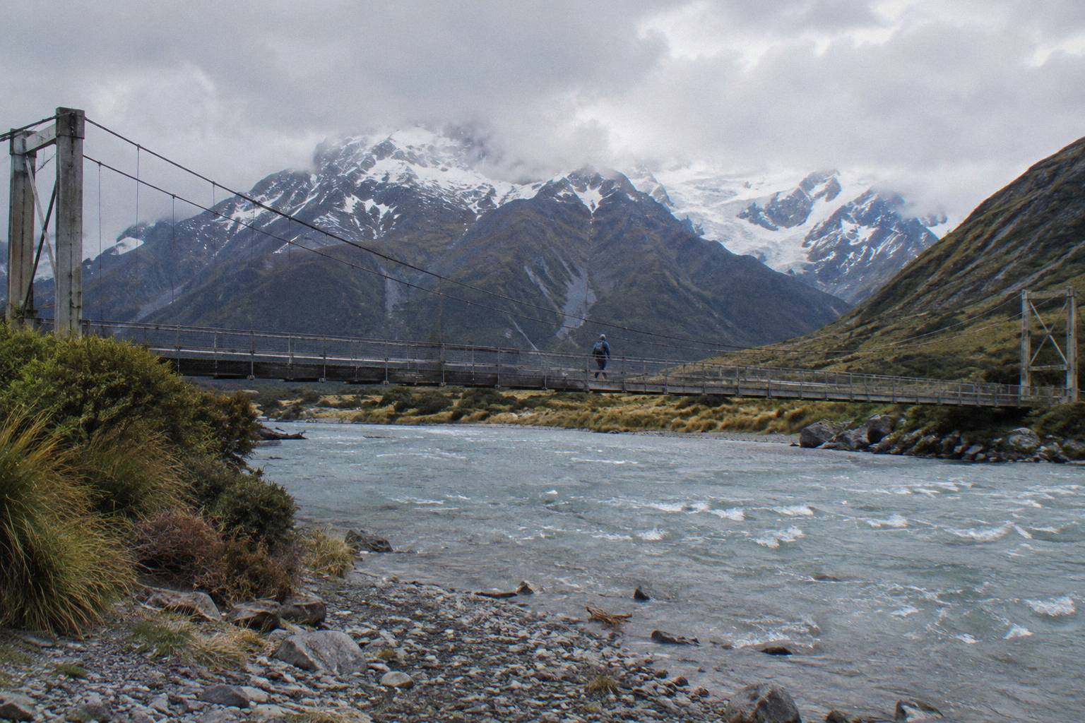
The Department of Conservation's Hooker Valley Track page is where those leg times are published, and it is worth reading before you go because the track's structures occasionally change. The newest of them, a second swing bridge over the Hooker River that opened in July 2026, is 189 m long, the longest suspension bridge in New Zealand. That bridge changed the feel of the middle leg: you now cross high over the river rather than contouring past it, and the sway underfoot is part of the experience.
Build slack into the three hours. The leg times are walking times, and they do not include the stops almost everyone makes: photographs on the bridges, the lake shore at the far end, layering and unlayering as the valley wind changes. If your day has a hard deadline, a shuttle departure for instance, budget four hours from car park to car park and treat anything under that as a bonus.
| Leg | One-way time | One-way distance | Notes |
|---|---|---|---|
| Car park to first swing bridge | 15 min | 1 km | Earliest easy turnaround point |
| First to second swing bridge | 30 min | 1.5 km | Includes the new 189 m bridge |
| Second bridge to Hooker Lake | 45 min | 2.5 km | Final stretch to the lake shore |
| Full track | About 3 hours return | About 5 km one way | Department of Conservation figures |
How Hard Is The Hooker Valley Track?
For most reasonably active walkers the Hooker Valley Track is a moderate walk, and the difficulty comes from distance and the swing bridges rather than from climbing. The Department of Conservation describes a formed track with three measured legs and two suspension bridges; there is no sourced grade label for it, so judge it on structure alone. People comfortable walking two hours on rolling gravel paths generally manage it comfortably at their own pace.
Break the difficulty into its parts. Distance first: about 10 km over the round trip, at a pace the Department of Conservation's own leg times suggest is unhurried. Surface second: formed walking track, the sort of gravel and boardwalk that ordinary shoes handle, though sturdy footwear does better after rain or in snow. Then the bridges: two of them, and the second is long enough at 189 m that crossing it slowly is normal, especially in wind.
What the track does not ask of you is altitude. Compare the sourced numbers for the other walks nearby and the profile difference is stark. Kea Point gains 180 m over its 3 km. Sealy Tarns gains 600 m up 2,200 steps. The Hooker Valley Track's published numbers contain no height gain at all, only time and distance, which tells you the valley floor walk is the gentle one of the three.
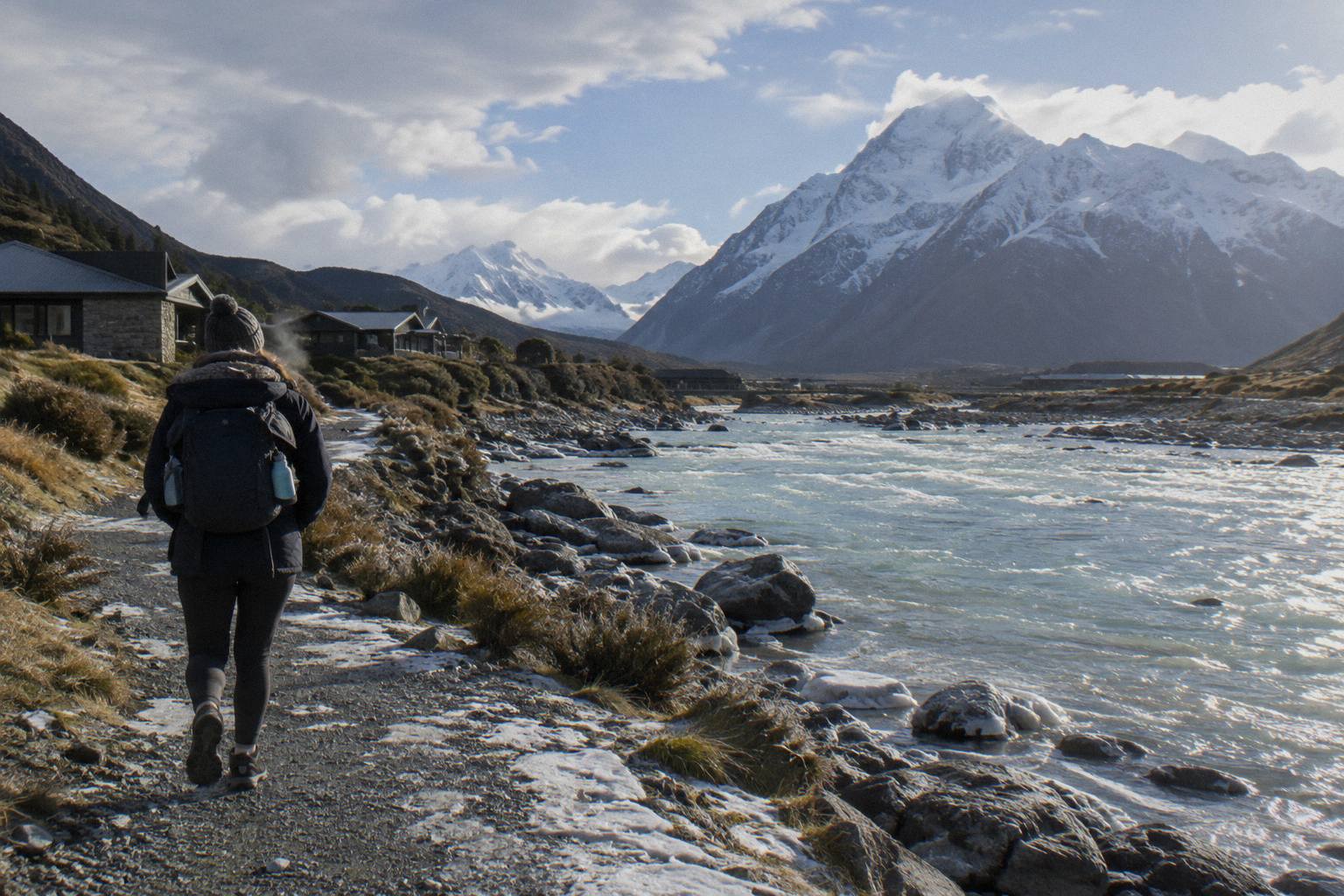
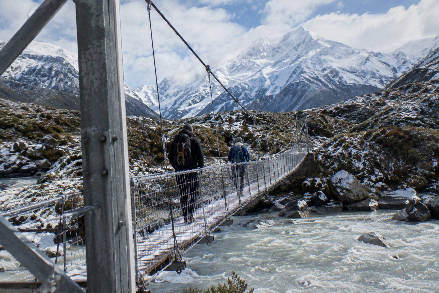
The difficulty qualifiers are the ones the Department of Conservation itself frames: conditions change, snow and ice can sit on the track in colder months, and bridges sway. The full-day shared shuttle carries snow spikes when it is snowy, which tells you the track can hold snow even while open. If you want the depth on conditions, the companion piece on Hooker Valley Track weather and conditions covers what changes with the seasons; nothing about any given day's condition can be stated in advance.
Families and older walkers manage this track regularly, and the three-leg structure is exactly why: 15 minutes is a commitment a child can own. There is a fuller treatment in walking Hooker Valley with kids and older walkers, including turnaround options.
Hooker Valley Versus Kea Point And Sealy Tarns
Choose the Hooker Valley Track for a three-hour valley walk to a glacier lake, Kea Point for a shorter 3 km climb to a moraine viewpoint, and Sealy Tarns only if 2,200 steps and 600 m of height gain sound like your kind of morning. All three start from the same end of the village road network, and the sourced numbers make the choice mechanical: time available, tolerance for steps, and bridges.
Kea Point, on the Department of Conservation's Kea Point Track page, is a gentle climb through subalpine grassland to the Mueller Glacier moraine wall, 180 m of height gain over 3 km. No return time is listed for it, so do not plan around a printed figure; plan around the distance and gain. It has no swing bridges, which matters if anyone in your group would rather not cross one.
Sealy Tarns branches off the Kea Point track and is a different animal: 2,200 steps and 600 m of height gain. The Department of Conservation's Sealy Tarns Track page gives no time, and the brochure figure of 3 to 4 hours return is the only time listed for it. That is a brochure figure, not a Department of Conservation track-page figure, so treat it as a rough planning range rather than a measured standard.
| Track | Distance and structure | Height gain | Time figure | Source |
|---|---|---|---|---|
| Hooker Valley Track | About 5 km one way, two swing bridges | None in the published legs | About 3 hours return | Department of Conservation track page |
| Kea Point Track | 3 km to the Mueller Glacier moraine wall | 180 m | No return time listed | Department of Conservation track page |
| Sealy Tarns Track | 2,200 steps, branches off Kea Point | 600 m | Brochure gives 3 to 4 hours return | Brochure, not a track-page figure |
The third walk in the area, the Tasman Glacier View Track, runs the other way up the valley network: 10 minutes to the first Blue Lakes and 5 more to the viewpoint, up 300-plus steps. The Department of Conservation's Tasman Glacier View Track page covers it, and there is a side option, the Tasman Lake and River Track at 50 minutes for 2.5 km return, that avoids the steps. Some travellers combine a short Tasman viewpoint stop with the Hooker Valley in one day, which the shuttle itinerary explicitly builds in.
If Sealy Tarns versus Hooker Valley is your actual decision, the dedicated comparison Sealy Tarns or Hooker Valley, which first works through it in full.
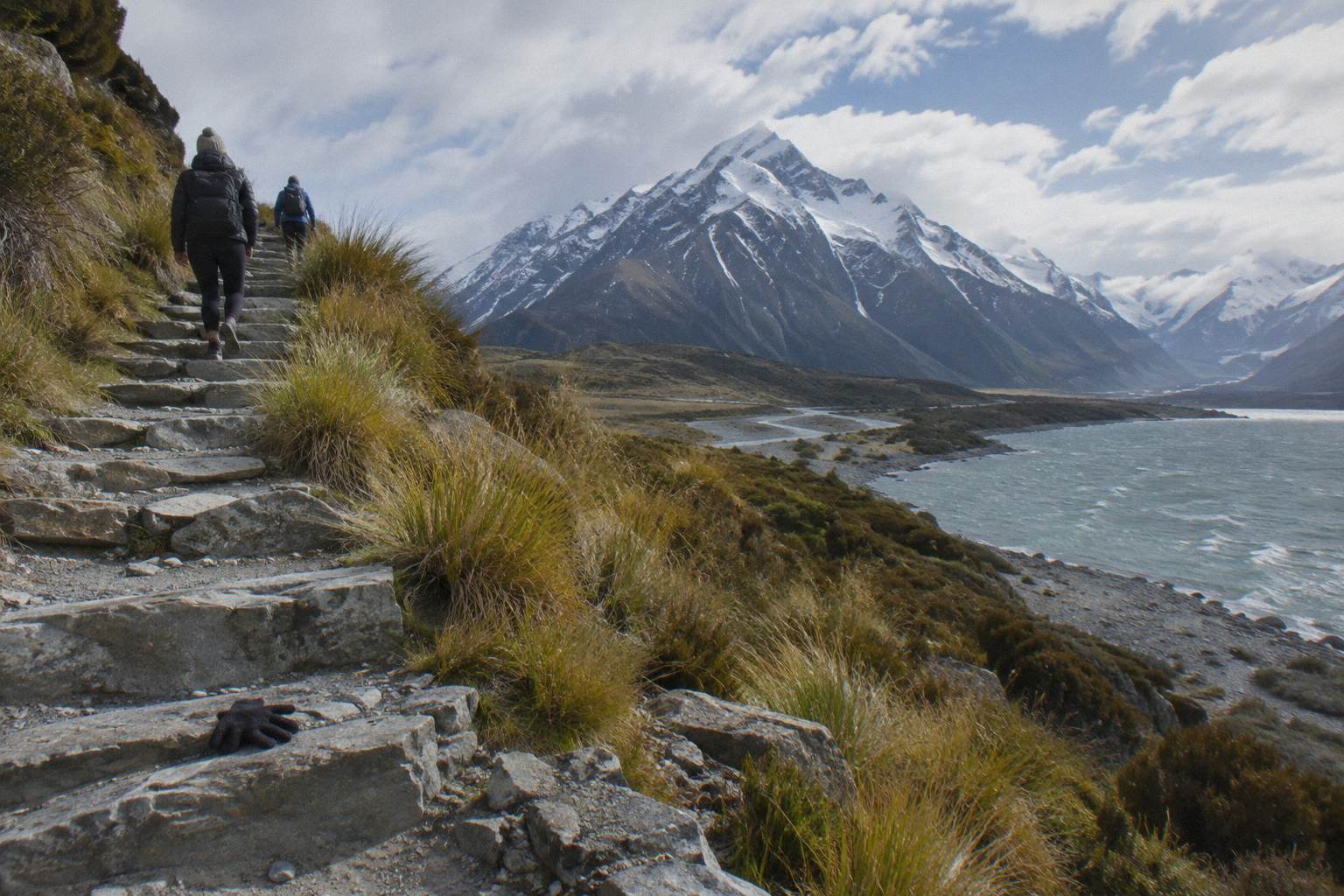
How The Track Fits A Day Trip From Tekapo
Those clock times belong to one product, the "Tekapo Shuttle: Mt Cook Day Tour via Pukaki & Tasman Lake", and only to it. The operator's itinerary meets at Four Square Tekapo at 8:00 from September to May and 8:30 from June to August, stops at Peters Lookout over Lake Pukaki, reaches the Tasman Glacier View Track or the Tasman River Track around 10:15, and drops walkers at Hooker Valley from about 11:30 with about 3 hours for the return walk. A free shuttle then runs from the Hooker Valley car park every 30 minutes from 1:00 to 2:30 PM, with a regroup at 15:00. From NZ$169 per person, with water, snacks, Wi-Fi, a 240 V outlet, USB charging and snow spikes when snowy included; lunch is not.
Driving yourself changes the shape of the day. Lake Tekapo township to Lake Pukaki is 62.9 km, about 40 minutes on State Highway 8, and the village is about 1 hour 15 minutes from Tekapo in total. White Horse Hill car park sits at the end of Hooker Valley Road, 2.5 km beyond the village. Add the parking charge, NZ$2.50 per half hour or NZ$25 a day, and the free-within-20-minutes rule, and self-driving costs you both money at the far end and the flexibility of being able to leave whenever the walk finishes rather than when a departure is scheduled. The trade-offs are worked through in drive yourself or take a shuttle to Mount Cook.
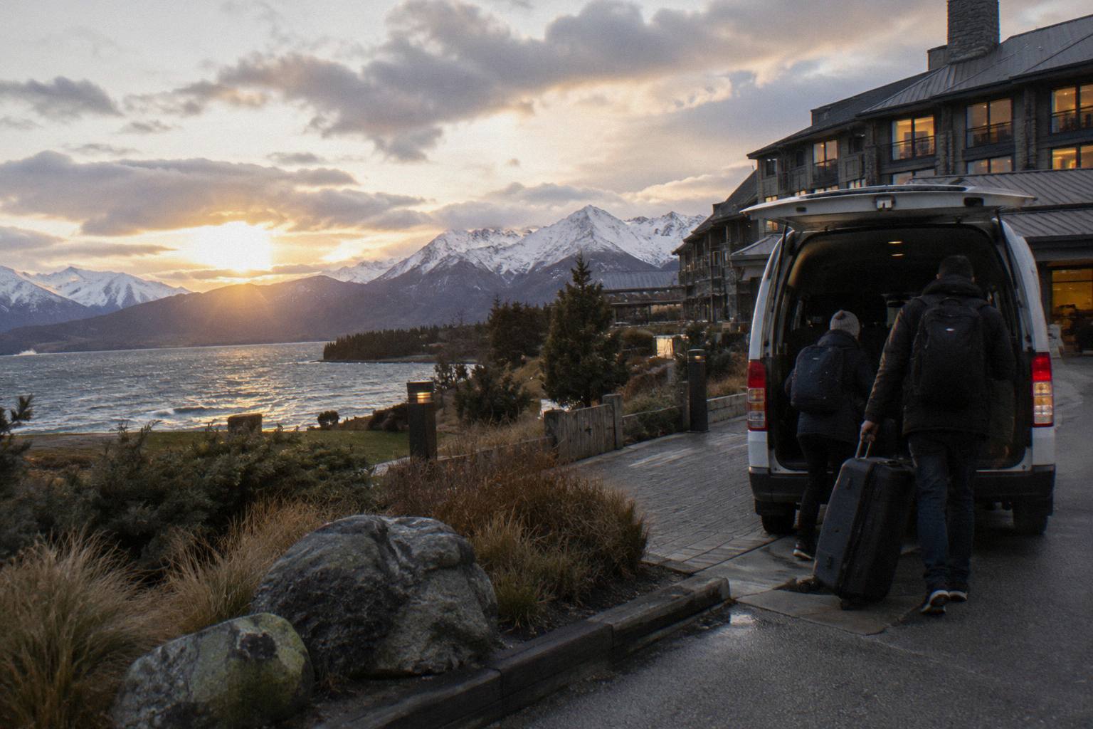
The small-group alternative, "From Tekapo: Small-Group, Carbon Neutral Mt Cook Day Tour" from Cheeky Kea Tours, runs 5 hours from NZ$275 per person with hotel pickup in Tekapo, a pre-ordered Fairlie Bakehouse lunch and commentary included. Its shorter duration means the Hooker Valley walk fits as an optional walk within the stop rather than a three-hour centrepiece, and its rating is 4.4 from 58 reviews. If three hours on the track is the whole point of your day, the 8.5-hour shared itinerary protects that time; if a taste of the valley plus a look at Lake Pukaki and the village is enough, the small group format suits. Check the live price for your date before deciding, since both products vary by day.
There is also a through-option worth knowing about. The "Tekapo: to Queenstown via Mt Cook Small Group Tour" from Cheeky Kiwi Travel runs 9 hours from NZ$359 per person, includes a picnic lunch and luggage allowance, and ends with hotel drop-off in central Queenstown, so the Mount Cook stop becomes part of a one-way journey rather than a return day. For travellers routing south, that converts the Hooker Valley time budget into a single well-planned afternoon.
What The Swing Bridges Mean For Time And Nerves
Two swing bridges cross the Hooker River, and the second is 189 m long, the longest suspension bridge in New Zealand, opened in July 2026. For time they add little, minutes at most, but for difficulty they are the real test of the walk: they sway, they rule the track out for anyone unwilling to cross one, and in strong wind they are the structure the Department of Conservation's conditions advice touches first.
The first bridge arrives 15 minutes and 1 km in, which makes it an early screen. Anyone who finds the crossing harder than expected can turn back having spent half an hour. The second bridge sits 30 minutes beyond that, spanning the full 189 m of the new structure. It is a genuine piece of engineering, and the fact that it opened in July 2026 means many older track descriptions, including any that mention a different crossing arrangement, predate it. The full index of guides sits on Tekapo Shuttle Mt Cook.
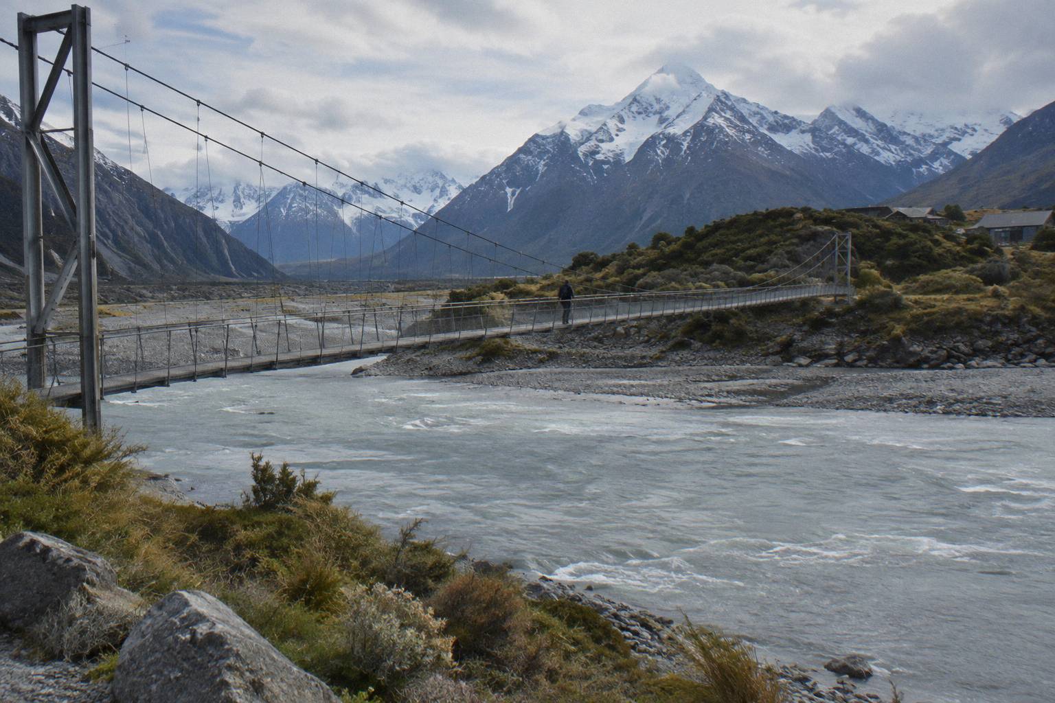
Practical bridge rules are the usual ones, and they matter more on a 189 m span: cross one at a time if the traffic allows it, keep to the middle of the deck, and let oncoming walkers finish before starting. Give yourself permission to be slow. The 45-minute final leg is measured in ordinary walking, not bridge-speed records, and nobody's itinerary has ever failed because they spent five extra minutes above the river.
If bridges are a hard no for someone in your party, the valley floor walk is not the right pick, and Kea Point, which has no bridges, is the sourced alternative: 3 km, 180 m of gain, a moraine-wall viewpoint. The Kea Point short walk option covers it in detail, and it pairs naturally with the Tasman viewpoint if you still want a full day out.
Parking, Drop-Offs And Getting To The Track Start
White Horse Hill car park is the track start, at the end of Hooker Valley Road, 2.5 km from Mount Cook Village, and the Department of Conservation charges NZ$2.50 per half hour or NZ$25 a day there, free only within 20 minutes. Shuttle passengers are dropped at the same car park, and the full-day shared tour adds a free shuttle back from it every 30 minutes from 1:00 to 2:30 PM.
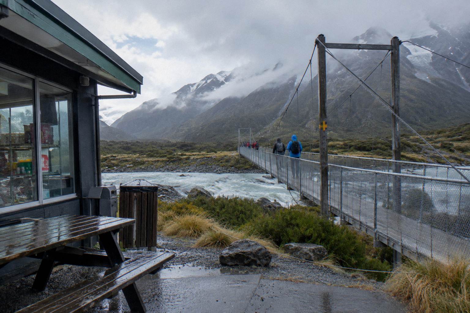
That 20-minute free window exists so people can drop someone at the start or look at the noticeboard without paying, not so a walk can begin. For a three-hour walk the NZ$25 day rate is the realistic figure for self-drivers, on top of fuel. There is a self-service petrol pump in the village, credit card only, which is the refuelling point on this side of the trip. The White Horse Hill information on the Department of Conservation site covers the car park and the campground at the same location.
The visitor centre in the village opens daily and is the sensible first stop for track conditions on the morning of your walk; the Aoraki / Mount Cook National Park Visitor Centre page has contact details. No current closure or works notice is printable here, and none should be assumed: conditions on the ground are what the centre and the track pages report.
| Getting to the start | Detail | Cost note |
|---|---|---|
| Self-drive, Tekapo to village | About 1 hour 15 minutes | Plus NZ$25 day parking at White Horse Hill |
| Walk from the village | 2.5 km along Hooker Valley Road | Free, adds time each way |
| Full-day shared shuttle drop | Hooker Valley from about 11:30, about 3 hours allowed | From NZ$169 per person |
| Free shuttle back from car park | Every 30 minutes, 1:00 to 2:30 PM | Included on the full-day shared tour |
There is a fuller treatment of arrivals in Hooker Valley Track parking and shuttle drop-off, and if you are weighing the whole transport question, whether the shuttle's timing beats your own, the comparison of a small group tour or shared shuttle to Mount Cook sets out the differences in duration, pickup and price.
What Trips People Up Before You Walk
The recurring mistakes are simple and avoidable: budgeting exactly three hours with no buffer, starting too late to finish in daylight, forgetting the day parking charge at White Horse Hill, assuming a printed condition for a bridge or the road, and turning the walk into a sprint by booking a tight departure afterwards. Give the track four hours and let the leg times pace the day.
Late starts are the big one. A walker leaving the car park at 3:00 PM does the final leg to the lake in the part of the afternoon when weather in the valley most often turns, and the return leg in the worst of it. The shuttle itinerary puts walkers onto Hooker Valley at about 11:30 precisely so the three hours sit in the middle of the day, with a regroup at 15:00; that is a template worth copying even if you drive yourself.
The second is treating the three hours as a fixed cost. It is a Department of Conservation round figure for the return walk. Add photographs, the bridge crossings, a snack at the lake and a party member walking at their own pace, and four hours is the budget. Any schedule that breaks if the walk takes four hours is the wrong schedule.
Third, the road. State Highway 80 can close with snow, ice, avalanche and floods, and chains are often required in snow and ice on alpine highways; the NZTA Journey Planner or 0800 4 HIGHWAYS is the pre-travel check. Check the cancellation terms on the booking page when you book any tour, once, so a closed road does not become a lost fare as well as a lost day.
When The Weather Closes The Track, What Else Fits The Day
When snow, ice, or high wind makes the track or bridges a bad idea, keep the day full with close-by walks: Kea Point at 3 km, the Tasman Glacier View Track at roughly 15 minutes to the viewpoint, or the Tasman Lake and River Track at 50 minutes return without the steps. Helicopter flights from Mount Cook Airport still run, with a 25-minute alpine landing option from NZ$349 per person, rated 4.8 from 538 reviews.
That flight, "Mount Cook: Scenic Helicopter Flight with Alpine Landing" from INFLITE Mt Cook Ski Planes & Helicopters, meets at Mount Cook Airport in the village and includes a pilot guide with commentary. It does not replace the walk, but it uses a fraction of the time and none of the legwork, which suits a day when the valley floor is out or when someone in the party cannot manage the distance. There is a wider treatment in Mount Cook scenic flights from Tekapo.
Walkers stuck for time also trim the track itself rather than abandoning it. The 15-minute leg to the first bridge is a real outing; the 45-minute second leg to the new bridge is a better one. The Tasman side of the village rounds out a shortened day at minimal cost in effort, and the shuttle itinerary's own structure, Tasman around 10:15 and Hooker from about 11:30, shows how the two stack in sequence.
Time on the track is ultimately the one resource you cannot buy back on a day trip, so decide before the morning of the walk what your minimum is: the full three hours to Hooker Lake, the bridge and back, or the viewpoint legs on the Tasman side. Whatever the answer, check the live price and the date on the booking page for whichever transport you choose, because fares vary by day and the calendar is where the real figure lives.
Common Questions About Hooker Valley Track Timing
How Long Does The Hooker Valley Track Take?
About 3 hours return from White Horse Hill car park, on Department of Conservation figures: 15 minutes to the first swing bridge, 30 more to the second, and 45 minutes out to Hooker Lake, about 5 km each way. Budget four hours once stops and pace are included.
Can You Turn Around Early On The Hooker Valley Track?
Yes, and the leg structure makes it easy. The first swing bridge is 15 minutes and 1 km in, the second is 45 minutes in, and both are legitimate turnaround points that still give a real walk through the valley.
Is The Hooker Valley Track Harder Than Kea Point Or Sealy Tarns?
Harder than Kea Point in distance, easier in climbing. Kea Point gains 180 m over 3 km with no bridges; Sealy Tarns gains 600 m up 2,200 steps, with a brochure figure of 3 to 4 hours return. The Hooker Valley Track has no published height gain but the longest total distance.
What Is The New Second Swing Bridge On The Hooker Valley Track?
A 189 m suspension bridge over the Hooker River that opened in July 2026, the longest suspension bridge in New Zealand. It sits in the middle leg, 30 minutes from the first bridge, and sways underfoot, so allow a few extra minutes to cross it unhurried.
How Much Time Should A Day Trip Allow For The Hooker Valley Track?
Four hours door to door at White Horse Hill: three hours of walking plus buffer. Driving from Lake Tekapo adds about 1 hour 15 minutes each way, while the full-day shared shuttle schedules Hooker Valley from about 11:30 with the walk as the centrepiece of an 8.5-hour day.