Aoraki Mount Cook: What To See On One Day
Aoraki / Mount Cook pairs one famous name with a handful of short, sourced walks: three swing bridges, a moraine wall viewpoint and New Zealand's longest glacier, all inside a single day's reach from Lake Tekapo.
Short answer
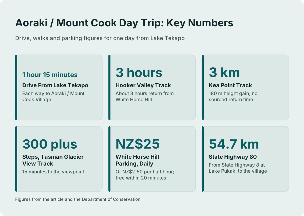
Aoraki / Mount Cook is the official dual name the Department of Conservation uses for New Zealand's highest peak and its national park. In one day you can walk the Hooker Valley Track, about 3 hours return, visit Kea Point, 3 km with 180 m of height gain, and see Haupapa / Tasman Glacier, New Zealand's longest, from a 300 step viewpoint.
Quick Facts
Every figure below comes from an official or operator source: the Department of Conservation for the tracks and parking, the NZ Transport Agency for the road, and the tour operator for its own itinerary. The rows cover the name, the drive, the three signature walks and the two costs that surprise self-drivers. Nothing in the table is an estimate, and each number reappears later with its full context.
| Fact | Detail |
|---|---|
| Official name | Aoraki / Mount Cook, as used by the Department of Conservation |
| Road access | State Highway 80, 54.7 km from State Highway 8 at Lake Pukaki to the village |
| Drive from Lake Tekapo | About 1 hour 15 minutes to Aoraki / Mount Cook Village |
| Signature walk | Hooker Valley Track, about 3 hours return from White Horse Hill car park |
| Shorter walk | Kea Point Track, 3 km with 180 m height gain |
| Glacier viewpoint | Tasman Glacier View Track, 300 plus steps, 15 minutes to the viewpoint |
| Parking at White Horse Hill | NZ$2.50 per half hour or NZ$25 a day, free within 20 minutes |
| Village facilities | Visitor centre open daily; self-service petrol pump, credit card only |
Amounts are New Zealand dollars. The table above pulls only sourced figures, and the sections below explain where each number comes from and how the pieces fit into a single day.
What Does The Name Aoraki / Mount Cook Mean?
The peak carries two names at once, written together with a slash: Aoraki / Mount Cook. The Department of Conservation, the government body that manages the national park, uses that dual form on its official pages for the park, its tracks and its visitor centre. Aoraki is the Mori name and Mount Cook is the English one. Road signs, maps and tour itineraries use both, sometimes shortened to Mount Cook or Mt Cook.
The dual naming matters practically. When you search for track information, road conditions or the visitor centre, the official results appear under the full Aoraki / Mount Cook form, so using it gets you to the primary source rather than to a travel intermediary. The village itself, where the walks begin and the tours finish, appears on maps as Aoraki / Mount Cook Village, and State Highway 80, the only road in, ends there after 54.7 km from State Highway 8 at Lake Pukaki, according to the State Highway 80 encyclopedia entry.
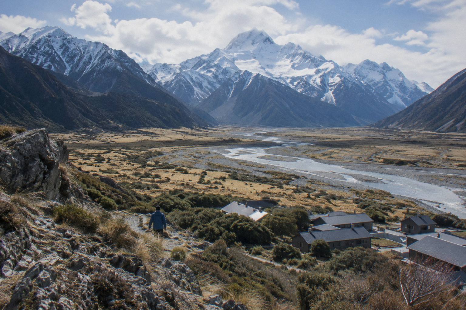
The park around the peak takes the same name: Aoraki / Mount Cook National Park. Within it sit the sights that fill a day: the Hooker Valley with its swing bridges and lake, the Mueller Glacier moraine at Kea Point, and Haupapa / Tasman Glacier, New Zealand's longest glacier, viewed across Tasman Lake from a stepped track above the Blue Lakes. Each of these has its own section below with the sourced walking times.
None of the walks requires a guide or a permit; they are public Department of Conservation tracks. What a tour adds is the drive, the timing and, on some products, commentary on the way. That trade off between driving yourself and riding a shuttle is covered in the guide to driving yourself or taking a shuttle, while the timing question, how much one day can hold, is answered in how long you need at Mount Cook on a day trip.
Which Sights Fit Inside One Day From Lake Tekapo?
Yes, you can fit three sights in one day from Lake Tekapo: the Hooker Valley Track, the Tasman Glacier View Track and Kea Point. The drive takes about 1 hour 15 minutes each way, so an early start leaves roughly six hours on the ground. Pair the 3 hour Hooker Valley walk with either the Tasman viewpoint, 15 minutes to the top, or Kea Point, a 3 km track; doing all three is tight.
The arithmetic comes from sourced figures, not from optimism. Lake Tekapo township to Lake Pukaki is 62.9 km, about 40 minutes on State Highway 8, and the run up State Highway 80 from there to the village is the remainder of the journey. The village visitor centre opens daily if you want maps and current advice before you set out, and the Department of Conservation maintains an official visitor centre page with its details.
A structured way to see the sights is a day tour, and the two from Lake Tekapo take different shapes. The Full-Day Shuttle Via Pukaki, from NZ$169 per person, runs 8.5 hours, meets at Four Square Tekapo, and its operator's itinerary lists a Peters Lookout stop, Tasman Glacier View or the Tasman River Track around 10:15, and the Hooker Valley from about 11:30. It is rated 4.9 from 449 reviews. The Small Group, Carbon Neutral tour from Cheeky Kea Tours, from NZ$275 per person, runs 5 hours, includes a pre-ordered Fairlie Bakehouse lunch and hotel pickup, and is rated 4.4 from 58 reviews. Both walk the same tracks; the difference is hours on the ground and group size.
| Sight | The Sourced Walk Behind It | Time | Effort |
|---|---|---|---|
| Hooker Lake and the swing bridges | Hooker Valley Track from White Horse Hill | About 3 hours return | Mostly flat valley track |
| Mueller Glacier moraine wall | Kea Point Track from the village | 3 km, 180 m height gain | Gentle climb, no sourced return time |
| Haupapa / Tasman Glacier and Tasman Lake | Tasman Glacier View Track from Tasman Valley car park | 10 min to Blue Lakes, 5 more to viewpoint | 300 plus steps, short and steep |
| Lake Pukaki and the peak beyond | Peters Lookout rest area on State Highway 80 | A stop on the drive | None |
That table is the day in one view: one long walk, one short steep climb, one gentle viewpoint and one roadside stop. The mistake people make is booking two long walks; the sourced times do not support it inside a day that also includes two hours of driving.
Why The Hooker Valley Track Is The Signature Sight?
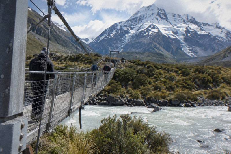
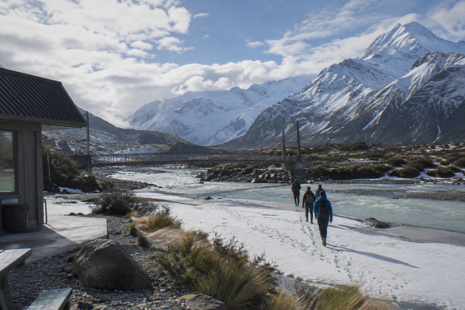
The Hooker Valley Track earns its status because it packs three suspension bridges, a glacier-fed lake at the foot of Aoraki, and about 3 hours of easy walking into one return trip starting just 2.5 km from the village. It is the fullest Mount Cook experience available to almost anyone, no alpine skills required, ending at Hooker Lake with icebergs and the peak looming above.
The staged times make the track easy to budget. Walk to the first bridge and back and you have spent about 30 minutes; continue to the lake and the full figure applies. The track starts at White Horse Hill car park, at the end of Hooker Valley Road, and the Department of Conservation's Hooker Valley Track page carries the stage times, the parking details and any notices. Conditions change, so treat the page, not any article, as the word on the day.
Parking at White Horse Hill is charged: NZ$2.50 per half hour or NZ$25 a day, free only if you arrive and leave within 20 minutes. That daily figure is the hidden cost of a self-drive day, and it is one reason a shuttle with a drop-off near the track head can be simpler. The full-day shuttle's operator itinerary lists a free shuttle from the Hooker Valley car park every 30 minutes from 1:00 to 2:30 PM on its tour days, which changes the calculus again: you can walk out one way and ride back.
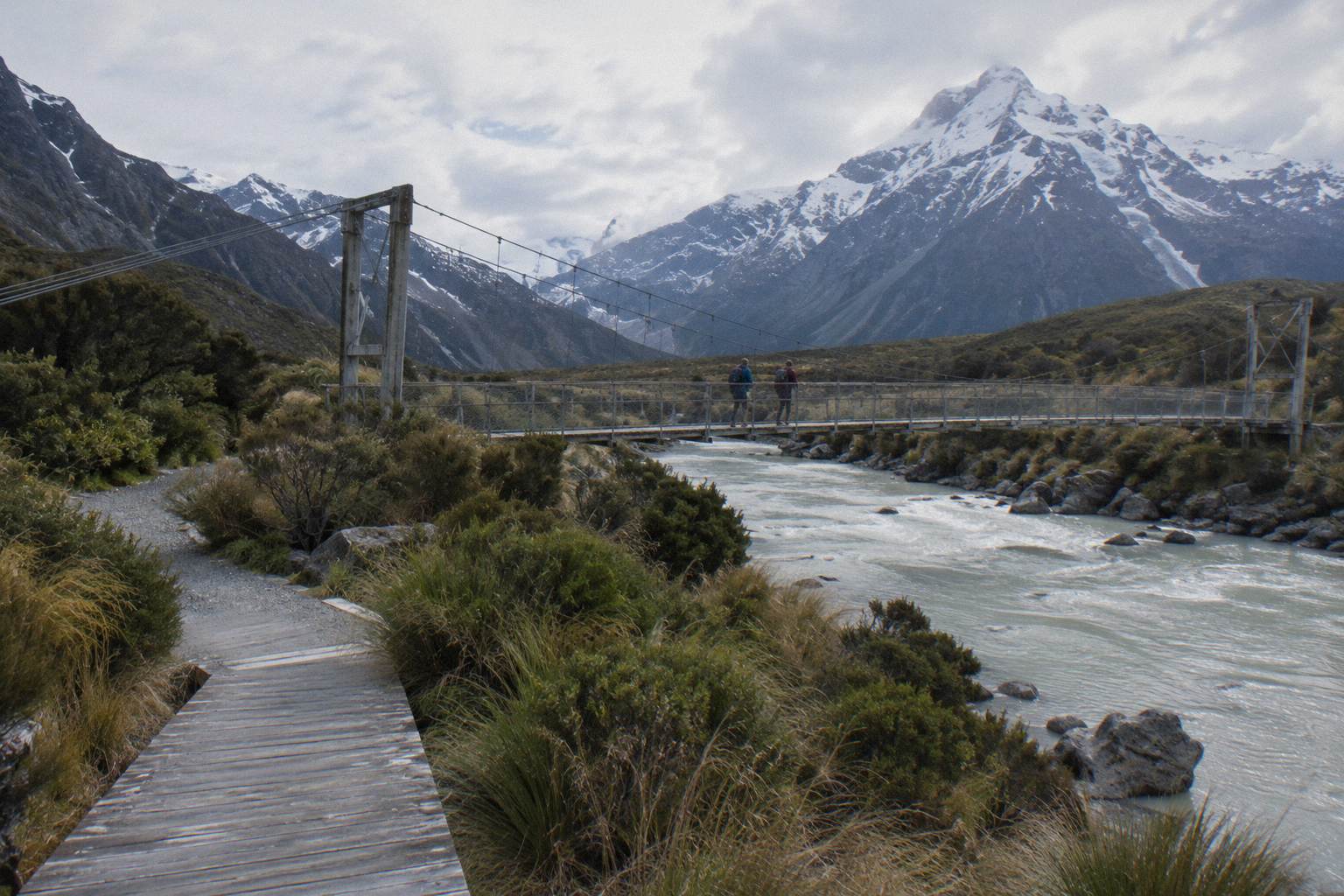
If the full walk feels long, the same valley serves shorter options, and the choice between them is covered in detail in Hooker Valley Track time and difficulty. Families and older walkers have their own considerations, laid out in the guide to the Hooker Valley Track with kids and older walkers.
What Makes Kea Point Worth The Short Detour?
Kea Point Track climbs gently through subalpine grassland to a viewpoint on the Mueller Glacier moraine wall, gaining 180 m over 3 km. It is the sight closest to the village and the one most day visitors underuse, because the Hooker Valley hogs the itineraries. The Department of Conservation gives no return time, so plan it by distance and climb rather than by a clock figure. Treat it as the fallback when the valley walk is too long.
The track's selling point is efficiency. It starts near the village, needs no car park fee and no drive, and delivers a moraine-wall view over the Mueller Glacier country that the Hooker Valley walk does not. Because no sourced return time exists, no itinerary here will invent one; 3 km each way with 180 m of gain is what the Department of Conservation Kea Point page states, and that is enough to judge it against your own pace.
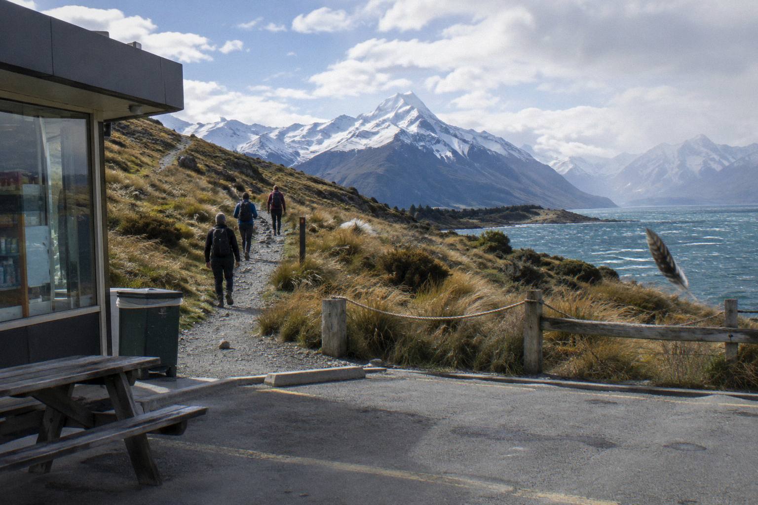
Kea Point also connects to a harder option. The Sealy Tarns Track branches off it and climbs 2,200 steps with 600 m of height gain; the brochure gives 3 to 4 hours return, the only time listed. That is a half day of its own and does not belong in a one-day sightseeing plan alongside the Hooker Valley, but it explains why you will see fit walkers heading uphill where your track levels out. The choice is unpacked in Sealy Tarns or Hooker Valley, which first.
For shuttle riders, the practical note is that the full-day tour's itinerary gives the afternoon Hooker Valley shuttle window, so a morning Kea Point walk before the group regroups at 15:00 is the kind of plan the operator's own timings make possible. Check availability on the day tour if that structure appeals, and build the walks around the published regroup rather than against it.
Where Do You See The Tasman Glacier From?
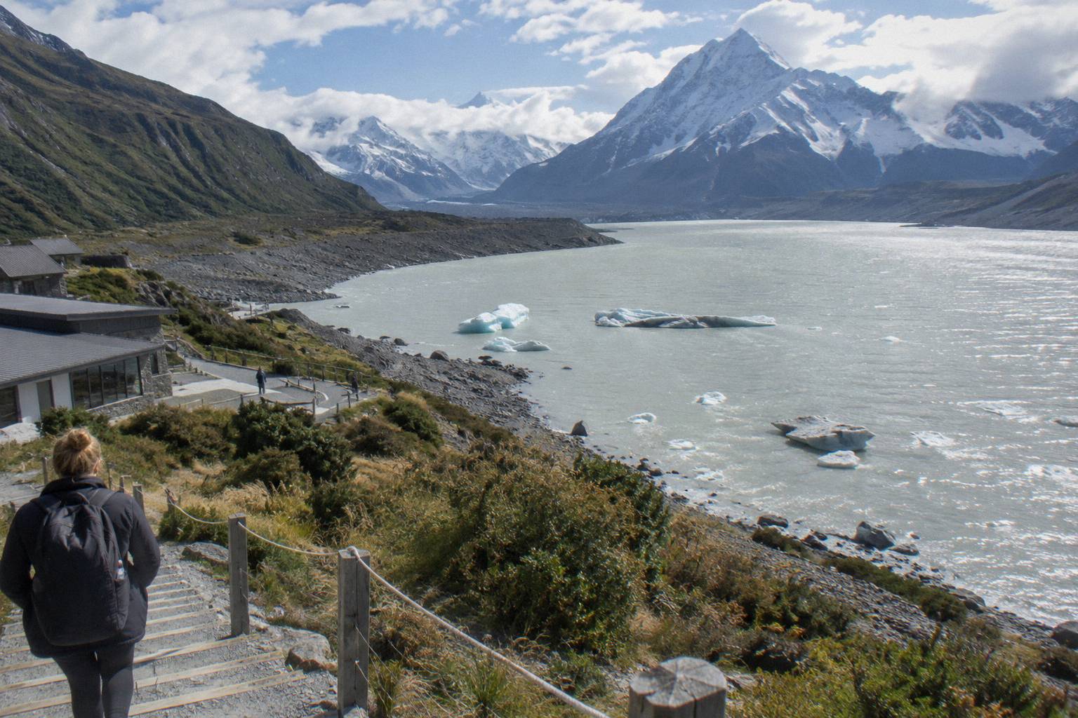
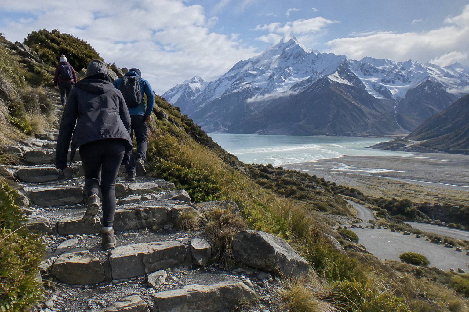
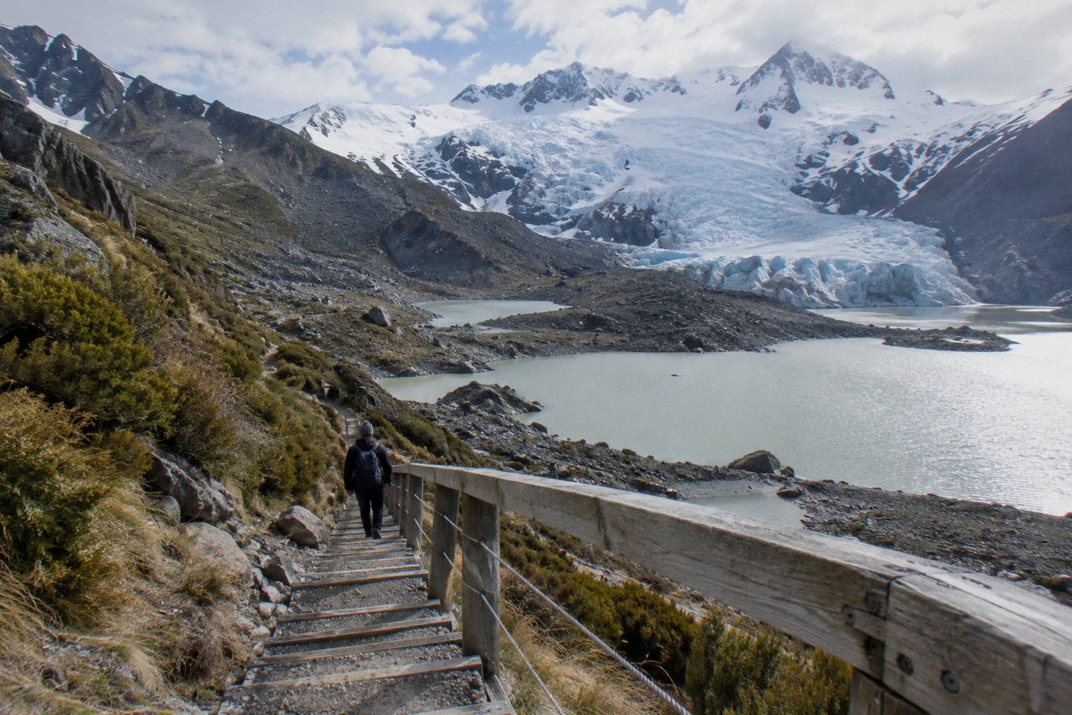
You see Haupapa / Tasman Glacier, New Zealand's longest glacier, from the Tasman Glacier View Track, a short steep climb of 300 plus steps above the Blue Lakes: 10 minutes to the first lakes, 5 more to the viewpoint, looking out over Tasman Lake and the glacier. The step-free alternative is the Tasman Lake and River Track, 50 minutes and 2.5 km return. Both start from Tasman Valley car park, free for cars and campervans.
The viewpoint's appeal is scale with almost no time cost. Fifteen minutes of stairs buys a view across Tasman Lake to New Zealand's longest glacier, and the Department of Conservation Tasman Glacier View page supplies every figure involved. The car park sits at the end of Tasman Valley Road off State Highway 80, and it is very busy from November to April, so an early or late arrival helps.
One boundary note, stated once: no boat tour is sourced and none appears among the bookable products covered here, so plan on the two tracks above and nothing on the water. The one glacier product that exists here goes further than a view: the 3-Hour Tasman Glacier Heli Hike from The Helicopter Line, from NZ$995 per person, rated 4.8 from 275 reviews, which lands you on the ice with equipment and guides included, hotel pickup in the village offered. It is a different budget class from a viewpoint stair climb, but for a once-only day it is the sourced way to stand on Haupapa / Tasman Glacier itself.
| Tasman Side Option | Time | Steps or Distance | Notes |
|---|---|---|---|
| Tasman Glacier View Track | 10 min to Blue Lakes, 5 more to viewpoint | 300 plus steps | Views of Tasman Lake and the glacier |
| Tasman Lake and River Track | 50 min return | 2.5 km return | Avoids the steps |
| 3-Hour Tasman Glacier Heli Hike | 3 hours | 2 hours on the ice | Equipment, guides, village hotel pickup offered |
What Do You See On The Drive Itself?
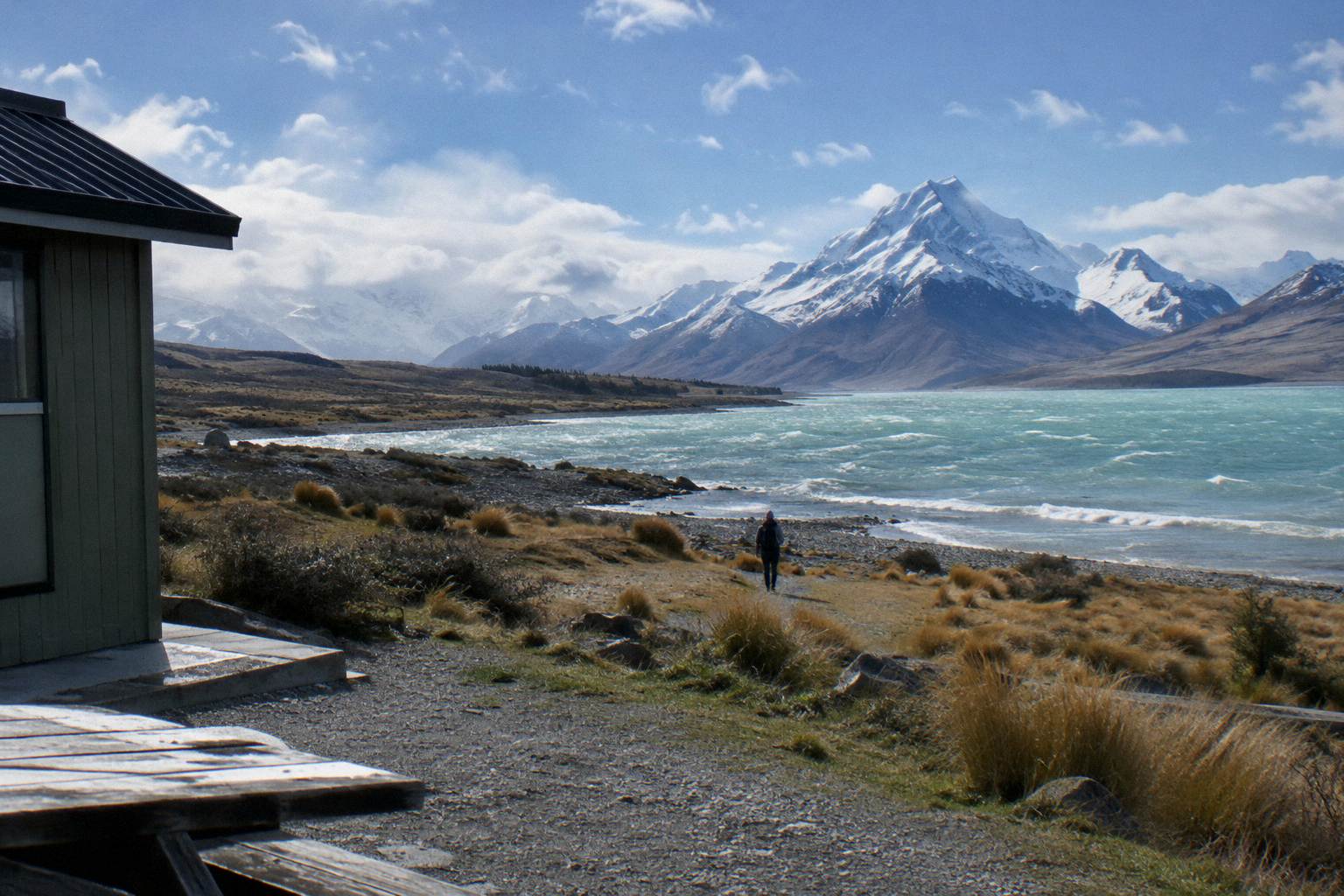
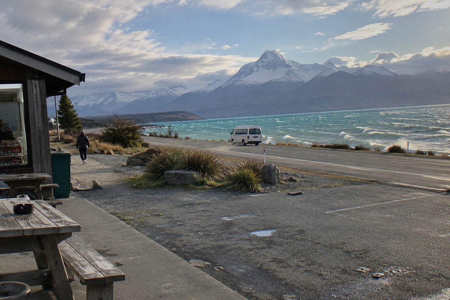
On the drive itself you follow State Highway 80 for 54.7 km from State Highway 8 at Lake Pukaki to the village, with the first 31 km running beside the lake, the Mackenzie Basin on one side, and the Ben Ohau Range beyond. Peters Lookout is the classic stop to photograph the peak across the glacier-fed lake, which covers 178.7 sq km.
The road is mostly two lanes with a few single-lane bridges, maintained by the NZ Transport Agency. Snow, ice, avalanche and floods can all close it, and the agency advises checking its Journey Planner or calling 0800 4 HIGHWAYS before travel in poor conditions; chains are often required in snow and ice on alpine highways. The regional tourism page for Lake Pukaki gives the lake figures and the lookout context. None of that says the road is closed today, only that checking before you drive is the standard advice.
Two roadside markers help you plan fuel and time. Glentanner Park sits on State Highway 80 at the northern end of Lake Pukaki, about 24 km, or 15 minutes, south of the village. The village itself has a self-service petrol pump, credit card only, which matters because no other fuel stop between Tekapo and the village is sourced anywhere listed. Fill up in Tekapo and treat the village pump as the backup.
| Roadside Marker | Where It Sits | Sourced Figure |
|---|---|---|
| Peters Lookout | Rest area on State Highway 80 over Lake Pukaki | Improved in the NZTA pull-over area works |
| Glentanner Park | State Highway 80 at the northern end of Lake Pukaki | About 24 km, 15 minutes south of the village |
| Village petrol pump | Aoraki / Mount Cook Village | Self-service, credit card only |
| Visitor centre | Aoraki / Mount Cook Village | Open daily |
Both Lake Tekapo day tours stop at Peters Lookout on the way up, the shared shuttle's itinerary listing it explicitly, which is worth weighing if you would rather photograph than drive. The stop is covered from the road-trip angle in the Lake Pukaki viewpoint on the way to Mount Cook, and from the road-safety angle in Mount Cook road conditions and closures.
Can You See Aoraki / Mount Cook From The Air Instead?
Yes, several flight options let you see Aoraki / Mount Cook from the air. Air Safaris runs a 50-minute Mount Cook and Beyond scenic flight from Tekapo, from NZ$565 per person, rated 4.9 from 139 reviews. From Mount Cook Airport, INFLITE offers a 25-minute helicopter flight with alpine landing from NZ$349, rated 4.8 from 538 reviews, plus a 45-minute ski plane and helicopter glacier combo from NZ$499, rated 4.7 from 387 reviews.
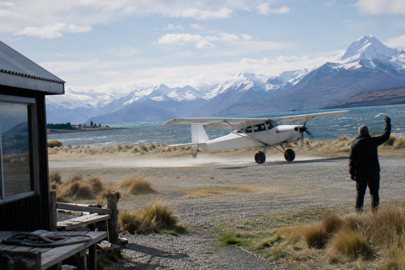
Flights fit a one-day plan in two ways. The village-based products, the helicopter, the combo and the heli hike, start at Mount Cook Airport, so they pair with a shuttle day: ride up from Tekapo, fly while the walkers walk, or book the flight as the whole reason for the trip. The Tekapo scenic flight needs no village transfer at all, which makes it the fallback when a road closure or a full walking day rules the shuttle out. The trade-offs are compared in Mount Cook scenic flight from Tekapo, and a live price check on the 50-Minute Flight From Tekapo link for your date beats planning from the from-figures alone.
Every flight product lists hotel pickup as excluded except the heli hike, which offers village hotel pickup and drop-off. Meeting points are printed on each booking page, and prices vary by date, so check the live price for your chosen day rather than planning from the from-figures alone. Weather decides whether a flight goes; the operators say so themselves, and a flexible date or a free-cancellation booking is worth having for anything airborne.
One planning trick worth naming: the ski plane and helicopter combo includes all taxes and fees and free parking at Aoraki / Mount Cook Airport, which removes two small frictions if you are self-driving to the village for the day. The comparison site Tekapo Shuttle Mt Cook exists to make exactly those pairings, the ground day and the air day, easy to line up against each other.
What Trips People Up When Planning One Day
Three things trip people up: treating the Tasman and Hooker walks as interchangeable halves of one morning, underestimating parking and fuel logistics at the village, and assuming the road or the flights are always available. The sourced times say the Hooker Valley needs about 3 hours and the Tasman viewpoint 15 minutes, so the day should be built around one long walk plus one short one, with Peters Lookout on the drive.
Parking is the quiet budget line. White Horse Hill charges NZ$2.50 per half hour or NZ$25 a day, free only within a 20-minute turnaround, while Tasman Valley car park is free but very busy from November to April. A self-drive day that walks the Hooker Valley properly should plan on the daily parking figure, not on a free stop. Riders on the shared shuttle skip that line entirely, and the operator lists that free afternoon shuttle from the Hooker car park on its own tour days, which is a detail worth checking on the booking page before you plan your own walk-out timing.
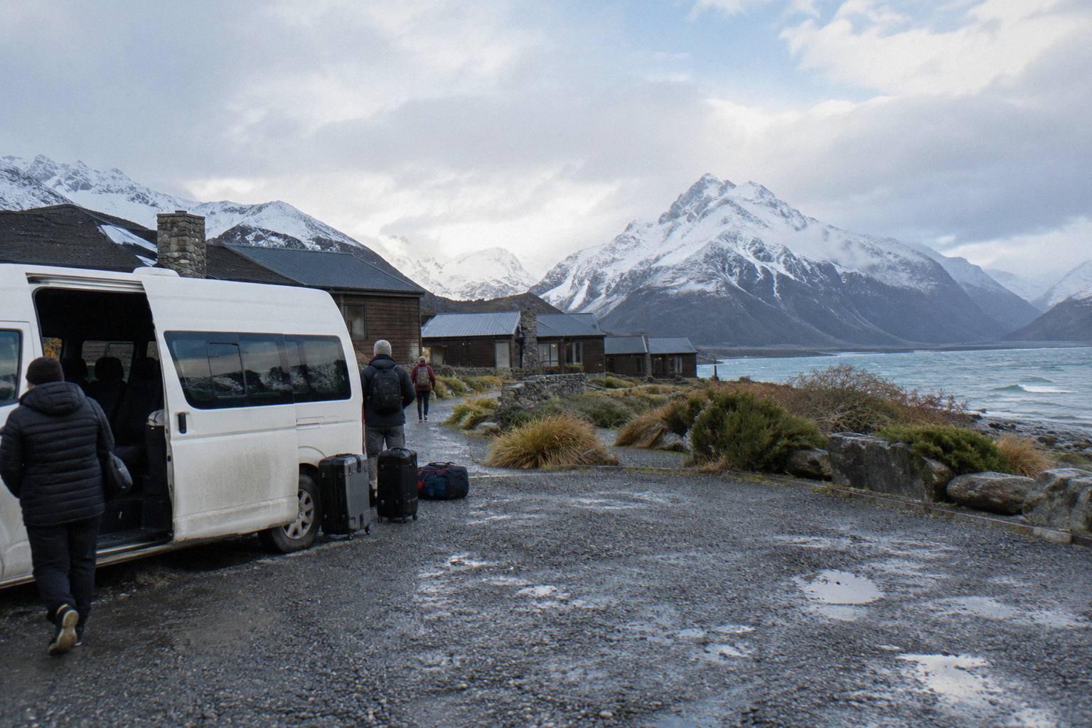
Road and weather risk is the third. Snow, ice, avalanche and floods can close State Highway 80, and chains are often required in snow and ice on alpine highways; the NZ Transport Agency's advice is to check before travel. No current closure belongs in any article, because conditions change. What you can control is the shape of the booking: a day tour with free cancellation converts an uncertain road day into a phone call rather than a lost fare, so check the cancellation terms on the booking page once and buy accordingly.
Finally, the onward-journey trap. If Mount Cook is a stop on the way to Queenstown rather than a round trip, the one-way small-group tour to Queenstown via Mount Cook exists precisely for that shape of day: from NZ$359 per person, 9 hours, a picnic lunch and central Queenstown hotel drop-off included. It beats backtracking to Tekapo for a rental car. It is a different product from the round-trip shuttles, with luggage allowance built in, so match it to the itinerary you actually have.
Common Questions About Aoraki And Mount Cook
Is Aoraki The Same Mountain As Mount Cook?
Yes. Aoraki / Mount Cook is the official dual name the Department of Conservation uses for the peak and the national park. Aoraki is the Mori name and Mount Cook the English one; road signs, official pages and tour itineraries use the two together, in shortened forms, or interchangeably.
Can You See Aoraki / Mount Cook From Lake Tekapo?
The sourced viewpoint on the drive is Peters Lookout on State Highway 80 above Lake Pukaki, about 40 minutes from Tekapo township, where the peak is seen across the glacier-fed lake. The drive from Tekapo to the village takes about 1 hour 15 minutes in total.
What Is The Best Walk At Mount Cook For One Day?
The Hooker Valley Track: about 3 hours return from White Horse Hill car park, crossing three swing bridges including a 189 m bridge opened in July 2026, the longest suspension bridge in New Zealand, and ending at Hooker Lake. Pair it with the 15-minute Tasman Glacier View Track rather than a second long walk.
Is The Tasman Glacier Worth Seeing?
Haupapa / Tasman Glacier is New Zealand's longest glacier, viewed across Tasman Lake from the Tasman Glacier View Track, 300 plus steps and about 15 minutes to the viewpoint. A step-free option, the Tasman Lake and River Track, takes 50 minutes and 2.5 km return.
Do You Need A Car At Aoraki / Mount Cook Village?
No. The walks start at or near the village, a scheduled coach runs from Tekapo to the Hermitage Hotel in about 1 hour 20 minutes, and two day tours from Lake Tekapo cover the tracks, the viewpoint stop and the drive. The details are covered in the guide to visiting Mount Cook without a car.
How Much Does Parking Cost At The Hooker Valley Track?
The Department of Conservation charges NZ$2.50 per half hour or NZ$25 a day at White Horse Hill car park, free only if you arrive and leave within 20 minutes. Tasman Valley car park, at the end of Tasman Valley Road, is free for cars and campervans.