Twizel To Mount Cook And Tekapo Distances
The Tekapo, Twizel and Mount Cook corridor runs along State Highway 8 and State Highway 80, and only some legs of it have a sourced distance and time. Here is what is listed, and how to cover the route without driving.
Short answer
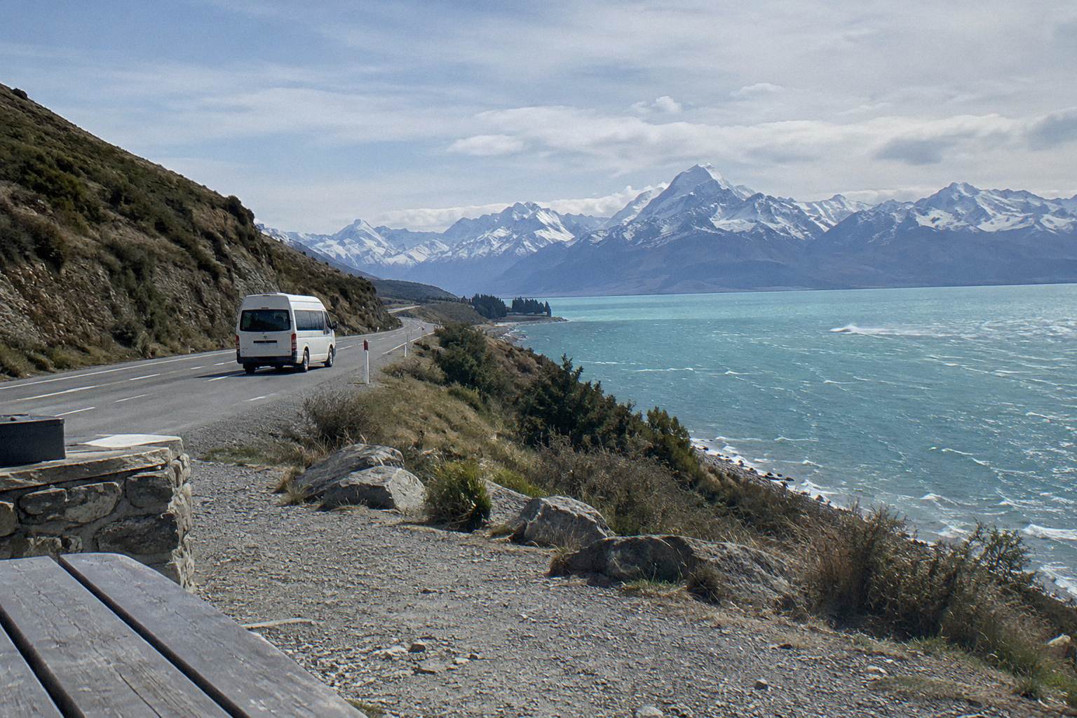
Lake Tekapo township to Lake Pukaki is 62.9 km, about 40 minutes on State Highway 8. Lake Tekapo to Aoraki / Mount Cook Village is about 1 hour 15 minutes. State Highway 80 from State Highway 8 at Lake Pukaki to the village is 54.7 km. No sourced distance or time is listed for Twizel to Mount Cook on its own.
Twizel sits on the same State Highway 8 corridor that carries travellers from Lake Tekapo toward Aoraki / Mount Cook, and the junction at Lake Pukaki is where the two routes meet. The road legs are covered in detail on the Full-Day Shuttle Via Pukaki tour page, which is the guided option that runs the whole corridor from Tekapo without you at the wheel.
| Fact | Detail |
|---|---|
| Tekapo township to Lake Pukaki | 62.9 km, about 40 minutes on State Highway 8 |
| Tekapo to Aoraki / Mount Cook Village | About 1 hour 15 minutes |
| State Highway 80 length | 54.7 km, from State Highway 8 at Lake Pukaki to Mount Cook Village |
| First 31 km of State Highway 80 | North beside Lake Pukaki, Mackenzie Basin on one side, Ben Ohau Range beyond |
| Glentanner Park | On State Highway 80, about 24 km or 15 minutes south of the village |
| Peters Lookout | Rest area on State Highway 80 over Lake Pukaki |
| Petrol in the village | Self-service pump, credit card only |
| Currency | Amounts in this guide are New Zealand dollars |
What Is The Sourced Distance From Twizel To Mount Cook?
No sourced distance or drive time is listed for Twizel to Aoraki / Mount Cook as a stand-alone leg, so none is given here. What is listed is the corridor it belongs to: State Highway 80 is 54.7 km long, running from State Highway 8 at Lake Pukaki to Mount Cook Village, and Twizel sits somewhere on State Highway 8 south of the Pukaki turn-off. If you see a precise Twizel figure quoted elsewhere, treat it as an estimate rather than a published road authority number. The Wikipedia page for State Highway 80 gives the highway length, and the road is maintained by the NZ Transport Agency.
That gap matters less than you might think for planning, because the decision on this corridor is rarely about one town-pair number. You are deciding whether to drive yourself, take a guided day tour, or use a one-way transfer, and those choices hang on the sourced legs: Tekapo to Pukaki, Pukaki to the village on State Highway 80, and the stops in between. The Mackenzie tourism getting here and around guide carries the regional drive times.
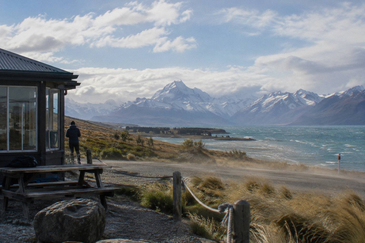
The highway itself is mostly two lanes with a few single-lane bridges, and the first 31 km after the State Highway 8 junction run north beside Lake Pukaki with the Mackenzie Basin on one side and the Ben Ohau Range beyond. That lakefront stretch is where most of the photo stops sit, including Peters Lookout, an existing rest area improved in the NZ Transport Agency pull-over area works. The road authority's own project page for those works is the Mackenzie Basin pull-over areas project.
For the drive itself, everything else in this guide uses only the sourced legs: 62.9 km and about 40 minutes from Tekapo township to Lake Pukaki, and about 1 hour 15 minutes from Tekapo to the village. Build your day on those two numbers and the highway length, not on an unsourced Twizel figure. A traveller starting in Twizel rather than Tekapo is on the same corridor with a shorter State Highway 8 leg, but without a sourced number for that leg, and the planning move is to allow the full Tekapo timing and treat any saving as a bonus.
How Do The Sourced Legs Fit Together?
Lake Tekapo township to Lake Pukaki is 62.9 km, about 40 minutes on State Highway 8, and from there State Highway 80 carries you 54.7 km to Mount Cook Village, making the full Tekapo to village drive about 1 hour 15 minutes. Glentanner Park sits on State Highway 80 at the northern end of Lake Pukaki, about 24 km, or 15 minutes, south of the village, and it is the last marked waypoint before the alpine section of the road. Peters Lookout sits earlier, on the lakefront stretch.
The legs stack cleanly because they share the same junction. You leave State Highway 8 at Lake Pukaki, and from that corner the route is a single numbered highway all the way to the village. There is no route choice to make after the turn-off, which is why the corridor is so forgiving for first-time drivers: one junction, then follow the lake. Drivers used to alpine passes elsewhere will find State Highway 80 gentler than expected, two lanes with a few single-lane bridges, and the only real decision is where to pull over.
| Leg | Distance | Time | Source type |
|---|---|---|---|
| Lake Tekapo township to Lake Pukaki | 62.9 km | About 40 minutes | Regional tourism body |
| State Highway 8 junction to Mount Cook Village | 54.7 km | Not sourced as a stand-alone time | Highway length, NZ Transport Agency maintained |
| Lake Tekapo to Aoraki / Mount Cook Village | Not sourced as a single figure | About 1 hour 15 minutes | Regional tourism body |
| Glentanner Park to the village | About 24 km | About 15 minutes | Regional tourism body |
| Twizel to Mount Cook Village | Not sourced | Not sourced | Nothing listed |
Those drive times are road times without stops. With Peters Lookout, a lakefront pause and the village turn, most travellers spend longer on the corridor than the raw minutes suggest, and the guided tours build that slack in for you. Whether that matters is the real choice between driving and a tour, and the drive yourself or take a shuttle decision walks through it leg by leg.
One more thing worth knowing about the corridor's shape: the 62.9 km Tekapo leg and the 54.7 km highway leg do not simply add up to the 1 hour 15 minute Tekapo to village time, because the sourced times come from different measurements and the junction arithmetic is not a published split. Use each figure for the purpose it states, the lakefront leg for planning your Pukaki stop, the highway length for understanding the scale, and the end-to-end time for your daily schedule, and do not sum or average them into a new number.
Where Do The Road Stops Sit On The Corridor?
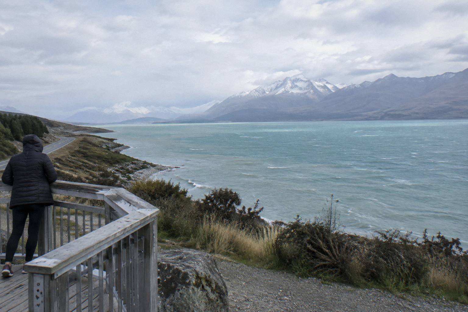
Peters Lookout is a rest area on State Highway 80 over Lake Pukaki, in the first 31 km of the highway where it runs beside the lake; Glentanner Park marks the northern end of the lake about 24 km south of the village; and the village itself holds the self-service, credit card only petrol pump and the Aoraki / Mount Cook National Park Visitor Centre, open daily. Those are the three anchor points listed for the drive.
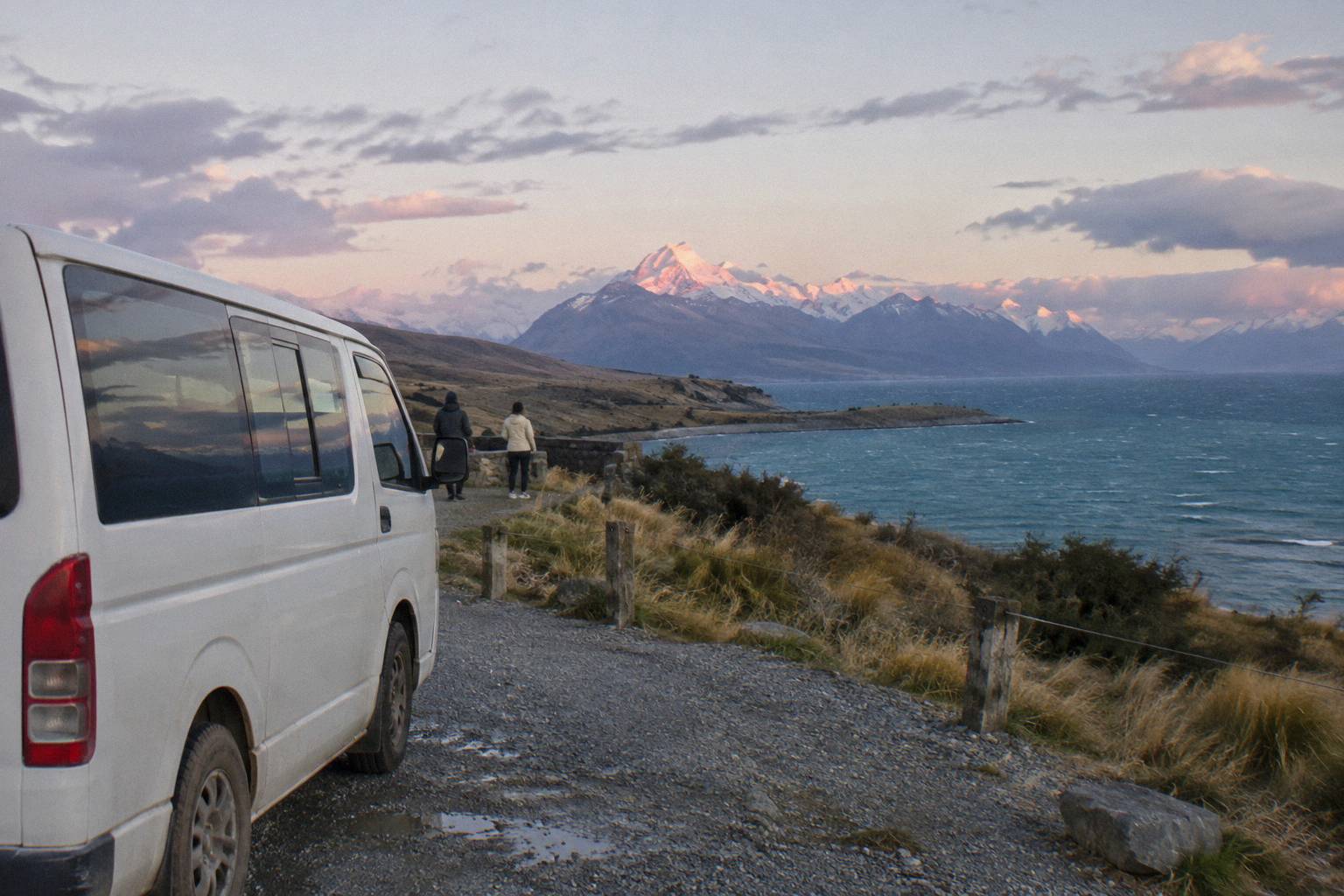
The lookout is the stop the tours use. The full-day shared shuttle itinerary lists Peters Lookout as its first photo stop after leaving Tekapo, before the run up the lakefront. Driving yourself, you reach it the same way: off State Highway 8, onto State Highway 80, and the improved pull-over area appears on the lake side. The Mackenzie tourism Lake Pukaki page covers the lake and its viewpoints, and the lake itself covers 178.7 sq km at roughly 518 to 532 m above sea level, fed by glaciers.
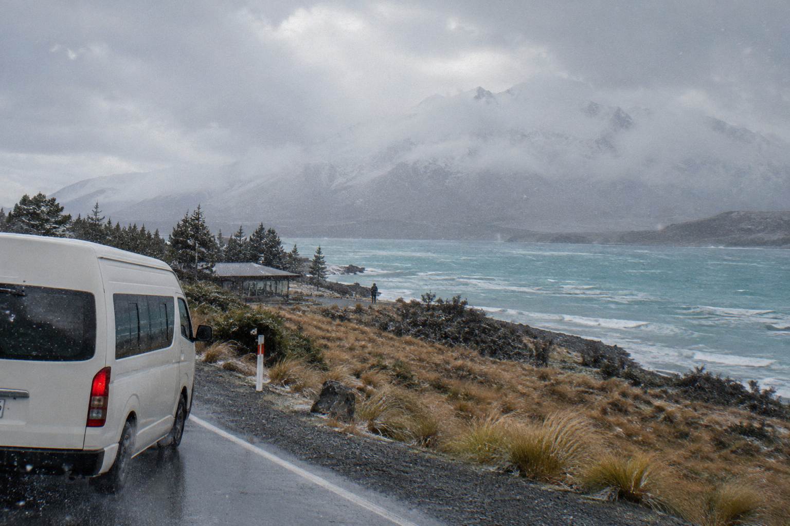
Glentanner Park, 24 km or 15 minutes south of the village, is the last place on the corridor with a named position before the final climb. Beyond it the road narrows toward the village, and the Ben Ohau Range gives way to the national park proper. There is no sourced fuel stop anywhere on the corridor outside the village, so plan fuel at Tekapo or at the village's credit card only pump.
| Stop | Position | What is listed |
|---|---|---|
| Peters Lookout | State Highway 80, over Lake Pukaki | Rest area, improved in NZ Transport Agency pull-over works |
| Lakefront stretch | First 31 km of State Highway 80 | Mackenzie Basin on one side, Ben Ohau Range beyond |
| Glentanner Park | Northern end of Lake Pukaki | About 24 km, 15 minutes south of the village |
| Mount Cook Village | End of State Highway 80 | Self-service petrol pump, credit card only; Visitor Centre open daily |
The Visitor Centre in the village is the natural first stop once the road ends, open daily, and it is where track condition questions get a real answer from staff rather than a guess. The Department of Conservation visitor centre page has the location and opening details. Many guided itineraries give you village time anyway, so the centre fits a tour day as easily as a drive day.
Can You Do The Corridor Without Driving?
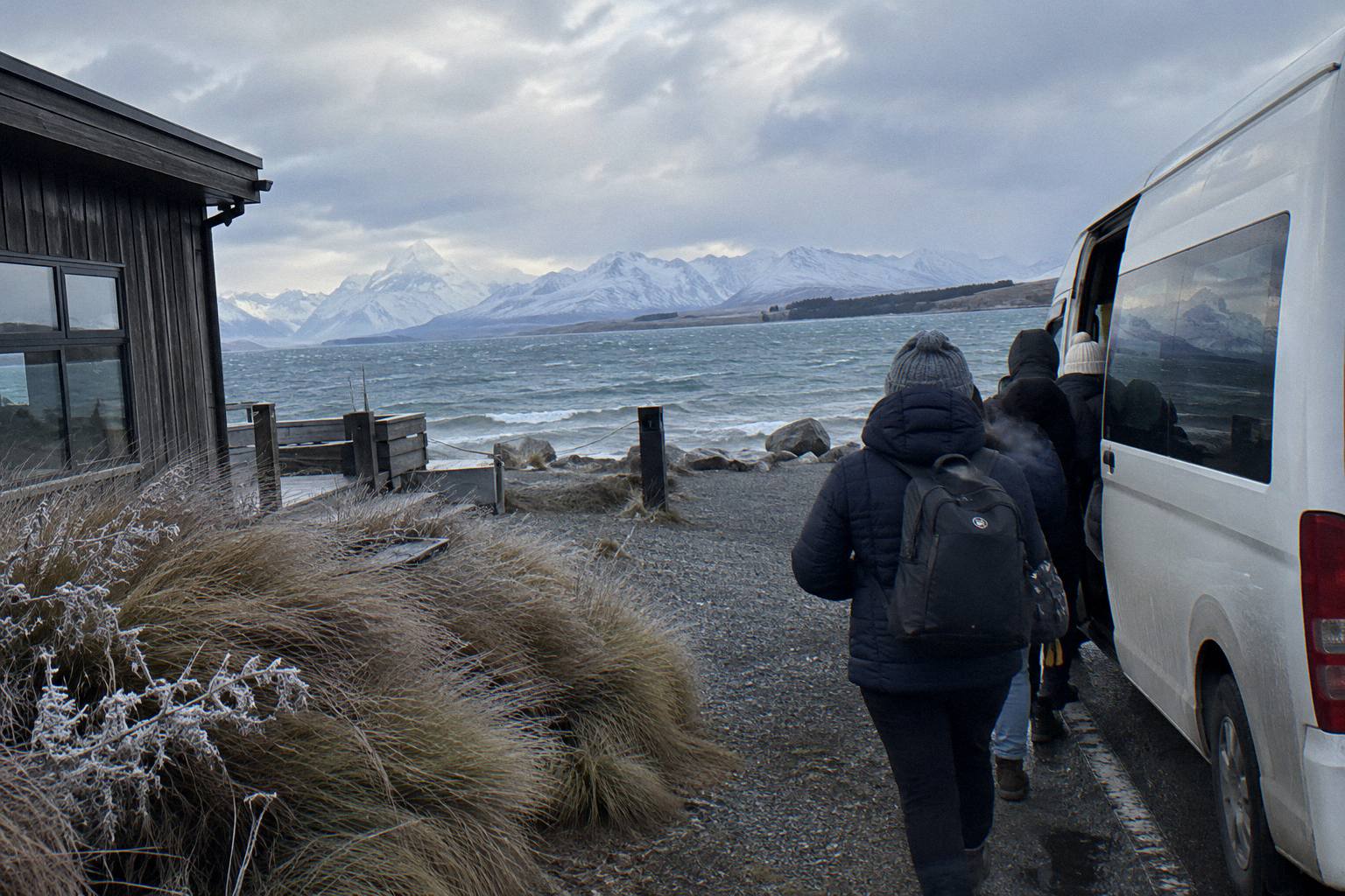
Yes, and the guided options are built around exactly these sourced legs: the Full-Day Shuttle Via Pukaki covers Tekapo to the village and back in 8.5 hours from NZ$169 per person, rating 4.9 from 449 reviews, and one-way small group transfers cover the same road in both directions. A scheduled coach also runs Tekapo to the village in about 1 hour 20 minutes from the car park beside the Dark Sky building to the Hermitage's Aoraki Lobby, though no days, times or fares were captured for it.
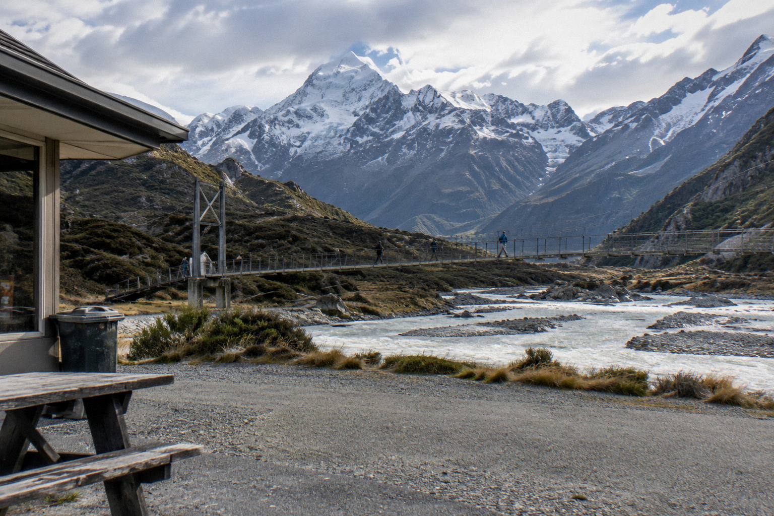
The full-day shuttle is the corridor with everything attached. It meets at Four Square Tekapo at 8:00 from September to May or 8:30 from June to August, stops at Peters Lookout, reaches Tasman Glacier View or the Tasman River Track around 10:15, and drops at Hooker Valley about 11:30 for the walk, with a free shuttle from the Hooker Valley car park every 30 minutes from 1:00 to 2:30 PM and a 15:00 regroup. Water, snacks, Wi-Fi and snow spikes when snowy are included; lunch is not. It is the featured day tour on the full day trip guide, and you can check availability if that shape fits your dates.
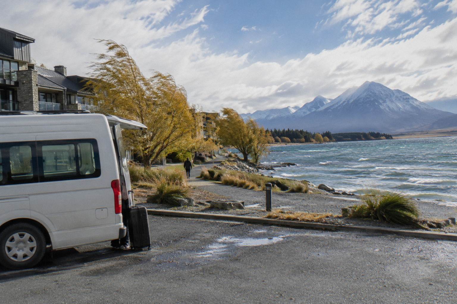
If you are staying in the village rather than returning, the one-way products run the same road in sections. The Guided Transfer, Commentary from Cheeky Kea Tours runs Mt Cook to Tekapo in 1 hour from NZ$125 per person, carbon neutral with commentary and Wi-Fi. In the other direction, From Tekapo, Snacks And Water is a 1 hour small group ride with hotel pickup offered and luggage space, with the price shown on the booking page for your chosen date.
How Does A Day Tour Change The Distance Question?
With a guided tour the sourced legs stop being your problem: the operator drives the 62.9 km to Pukaki, the 54.7 km of State Highway 80, and the return, while you get the stops the itinerary lists at their stated times. You give up route flexibility, since the day tour runs on one published shape, and you gain the walking time the schedule carves out at each end of the corridor.
The Small Group, Carbon Neutral option from Cheeky Kea Tours runs 5 hours from NZ$275 per person, rating 4.4 from 58 reviews, with pickup offered from the Dark Sky Project or Peppers Bluewater Resort, a pre-ordered Fairlie Bakehouse lunch, bottled water, Kiwi snacks, Wi-Fi and commentary included. Five hours against the shuttle's 8.5 means less time on the tracks and a shorter day, which suits travellers passing through rather than basing themselves for walks. Other pages covering the same trip are gathered on Tekapo Shuttle Mt Cook.
The comparison is really about hours at the village end of the corridor. The 8.5 hour product gives you about 3 hours on the Hooker Valley Track plus the Tasman viewpoint; the 5 hour product gives you the village and optional shorter walks. Both run the same road in, so the distance maths is identical, and the small group or shared shuttle comparison sets them side by side.
A practical way to choose: count the hours you want on your feet. If the Hooker Valley Track is the reason you are on the corridor at all, the longer day is the one that protects it, because the itinerary parks three hours there at the published time. If the mountain views from the road and a village stroll are enough, the shorter day leaves more of your afternoon in Tekapo, and for many people the lake itself, the dark sky evenings and an early night are worth more than a second track.
What If You Are Continuing Past Mount Cook?
One rostered product turns the corridor into a through-route: Onward To Queenstown Via Mt Cook runs Tekapo to Queenstown via the village in 9 hours from NZ$359 per person, with a picnic lunch, luggage allowance of one large and one small bag per person, and central Queenstown hotel drop-off included. It is the only listing that carries you past the village to a second city, and it answers the corridor question for travellers who do not want to backtrack to Tekapo.
The shape suits a one-way South Island itinerary. You ride the full State Highway 8 and 80 corridor, stop at the village end for the sightseeing window, and finish in Queenstown rather than returning. Hotel pickup from the Dark Sky Project meeting point is offered if selected, water and snacks are available on board, and a booster seat for children aged 7 and younger is provided or you can bring your own. Accommodation and optional activities are not included.
No Christchurch, Wanaka or Twizel pickup is bookable here, and no private charter or taxi price is sourced anywhere on the corridor. If your plan needs one of those, check when booking, and otherwise the sourced options above are the ones you can reserve today. Travellers heading north instead of south have two rostered Christchurch products that start in the village, Mt Cook To Christchurch Via Tekapo at from NZ$175 per person over 5 hours and the GreatSights coach day tour at from NZ$200 per person over 5.5 hours, both covered in detail on the Christchurch transfer guide.
What About Seeing The Corridor From Above?
Two rostered flights sit at the Mount Cook end of the corridor rather than on the road: the Helicopter With Alpine Landing from INFLITE runs 25 minutes from NZ$349 per person, rating 4.8 from 538 reviews, and the Ski Plane And Helicopter Combo runs 45 minutes from NZ$499 per person, rating 4.7 from 387 reviews. Both meet at Mount Cook Airport in the village, so they pair with a transfer or a day tour rather than replacing the drive.
The helicopter product lands on the alpine terrain mid-flight, with a pilot guide giving commentary; the combo pairs a ski plane flight with a helicopter flight over the glaciers, taxes and fees included, plus free parking at the airport. From the Tekapo end, the 50-Minute Flight From Tekapo covers Mount Cook and beyond from the Tekapo Aerodrome from NZ$565 per person, rating 4.9 from 139 reviews. Which end you fly from depends on where your day starts, and the scenic flight from Tekapo guide works that choice through.
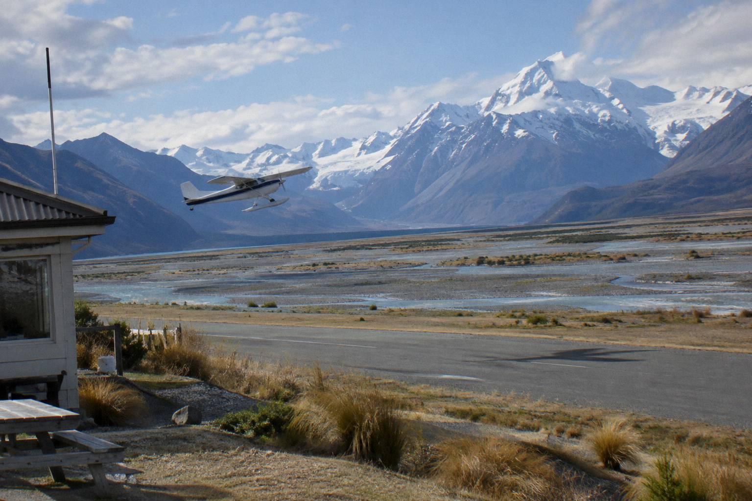
Flights are weather calls, and the operator decides on the day. If a flight is your priority, book it for the front of your stay so there is a fallback window, and check the cancellation terms on the booking page before you pay. For the biggest budget here, the 3-Hour Tasman Glacier Heli Hike from The Helicopter Line runs from NZ$995 per person, rating 4.8 from 275 reviews, including village hotel pickup, the flight, a glacier landing, a 2-hour guided hike and all the boots, crampons and jacket equipment.
What Trips People Up Before You Book
Before you book, three recurring mistakes trip people up: travelers trust an unsourced Twizel figure, they underestimate how many stops the 62.9 km and 54.7 km legs actually involve, and they assume fuel or a timetable exists where none is listed. Checking each of these against verified records before paying will save you the most trouble. A road time of about 1 hour 15 minutes Tekapo to village is driving time alone; add the lookout, the walks and parking, and a day tour's 8.5 hours starts to look generous rather than long. Parking at White Horse Hill, the Hooker Valley start 2.5 km from the village, costs NZ$2.50 per half hour or NZ$25 a day, free only if you arrive and leave within 20 minutes, per the Department of Conservation.
The second mistake is mixing up products. Clock times given in this guide belong to the full-day shuttle's itinerary alone; every other product's start time comes from the booking calendar. Prices move with date, and the booking page shows the price for your chosen day. The third is planning the last leg on empty: the only sourced fuel on the corridor is the village's self-service, credit card only pump.
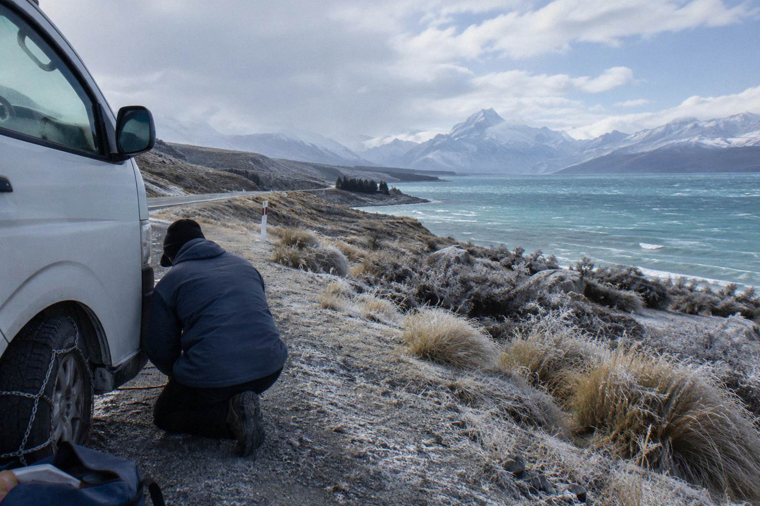
Snow, ice, avalanche and floods can close State Highway 80, so check the NZ Transport Agency Journey Planner or call 0800 4 HIGHWAYS before travel, and note that chains are often required in snow and ice on alpine highways. Operators watch the same bulletins, and a closed highway means a reshuffled day tour, not a refund argument you want to be having at 7:30 in the morning.
Which Walks Are Reachable From The Corridor?
The village end of the corridor gives you the Hooker Valley Track at about 3 hours return from White Horse Hill, the Tasman Glacier View Track at about 15 minutes to the viewpoint, and the Kea Point Track at 3 km with 180 m of height gain. Those three, plus the steeper Sealy Tarns with its 2,200 steps and 600 m of gain, are the sourced walking options listed, per the Department of Conservation Hooker Valley page and its sister track pages.
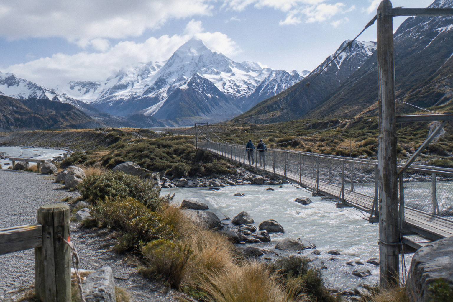
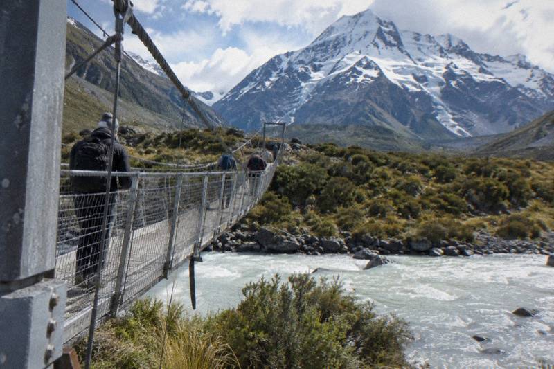
Hooker Valley breaks into three legs: 15 minutes and 1 km to the first swing bridge, 30 minutes and 1.5 km to the second, and 45 minutes and 2.5 km to Hooker Lake. The Tasman Glacier View Track is short and steep with more than 300 steps, 10 minutes to the first Blue Lakes and 5 more to the viewpoint, while the Tasman Lake and River Track at 50 minutes and 2.5 km return avoids the steps entirely. The full-day shuttle's itinerary slots in exactly this pair, Tasman around 10:15 and Hooker around 11:30.
| Walk | Sourced figure | Notes |
|---|---|---|
| Hooker Valley Track | About 3 hours return from White Horse Hill | Starts 2.5 km from the village; parking NZ$2.50 per half hour or NZ$25 a day |
| Tasman Glacier View Track | 10 min to Blue Lakes, 5 more to viewpoint | 300+ steps; Tasman Valley car park free for cars and campervans |
| Tasman Lake and River Track | 50 min, 2.5 km return | Avoids the steps |
| Kea Point Track | 3 km, 180 m height gain | No sourced return time |
| Sealy Tarns Track | 2,200 steps, 600 m gain | The brochure gives 3 to 4 hours return |
Sealy Tarns branches off the Kea Point track and is a different beast from the valley walks: a stair climb rather than a river valley. If you are choosing between it and Hooker Valley on a single day, the Sealy Tarns or Hooker Valley comparison works through the trade. Most corridor day-trippers take Hooker Valley and leave Sealy Tarns for a second visit or a longer stay.
Fit the walks to your transport, not the other way round. A self-drive day can run Kea Point in the late afternoon after Hooker Valley, since it shares the same trailhead area, but a tour day has a published regroup and a coach that leaves when the operator says. The Kea Point option, 3 km with 180 m of height gain through subalpine grassland to the Mueller Glacier moraine wall, is the natural pick for a shorter window, and no sourced return time is listed for it, so allow generously.
Common Questions About The Corridor
What Is The Distance From Twizel To Mount Cook?
No sourced distance or drive time is listed for Twizel to Mount Cook as a stand-alone leg. The corridor figures that are listed are State Highway 80 at 54.7 km from State Highway 8 at Lake Pukaki to the village, and Lake Tekapo to the village at about 1 hour 15 minutes.
How Far Is Lake Tekapo From Lake Pukaki?
62.9 km, about 40 minutes by road on State Highway 8, from Tekapo township to the lake where you turn onto State Highway 80.
How Long Does It Take To Drive From Tekapo To Mount Cook Village?
About 1 hour 15 minutes of road time, without stops. Most travellers add time for Peters Lookout and the lakefront stretch of State Highway 80.
Where Is The Last Stop Before Mount Cook Village?
Glentanner Park, on State Highway 80 at the northern end of Lake Pukaki, about 24 km or 15 minutes south of the village. Peters Lookout sits earlier on the lakefront.
Is There Fuel On The Route?
The only sourced fuel on the corridor is a self-service, credit card only pump at Aoraki / Mount Cook village. Nothing is listed for fuel stations elsewhere along the route, so fill up at Tekapo or use the village pump.
Can You Cover The Corridor Without A Car?
Yes. The Full-Day Shuttle Via Pukaki runs the corridor in 8.5 hours from NZ$169 per person, one-way small group transfers run the road in both directions, and Onward To Queenstown Via Mt Cook runs 9 hours from NZ$359 per person with central Queenstown hotel drop-off.