Lake Pukaki Viewpoint On The Way To Mount Cook
Lake Pukaki sits directly between Lake Tekapo and Aoraki / Mount Cook, and the road along its shore holds two stops with sourced distances: Peters Lookout and Glentanner Park.
Short answer
Lake Pukaki is 62.9 km, about 40 minutes, from Lake Tekapo by road, on the way to Aoraki / Mount Cook Village. Peters Lookout is a rest area on State Highway 80 above the lake, and Glentanner Park sits at the northern end, about 24 km south of the village. The shared day shuttle lists a Peters Lookout stop.
Lake Pukaki is the body of water you cannot avoid on a Lake Tekapo to Aoraki / Mount Cook drive. State Highway 80, the Mount Cook Road, leaves State Highway 8 at the southern end of the lake and runs 54.7 km to Mount Cook Village, with the first 31 km of it tracking the shoreline, the Mackenzie Basin on one side and the Ben Ohau Range beyond. Two stops along that stretch come with sourced facts attached: Peters Lookout, a rest area above the lake improved in the NZ Transport Agency pull-over area works, and Glentanner Park at the lake's northern end, about 24 km, or 15 minutes, south of the village. If you would rather let someone else handle the driving, the full-day shuttle via Pukaki is the trip whose operator itinerary lists a Peters Lookout stop by name.
| Fact | Detail |
|---|---|
| Lake Pukaki area | 178.7 sq km |
| Surface elevation | about 518 to 532 m above sea level |
| Fed by | glaciers |
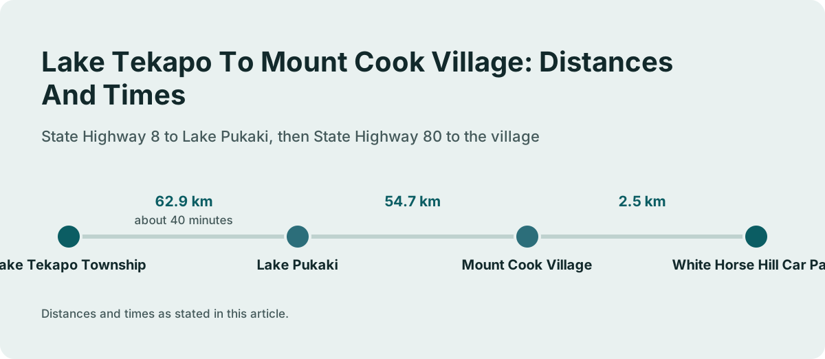
| Tekapo township to Lake Pukaki | 62.9 km, about 40 minutes |
| State Highway 80 length | 54.7 km, Lake Pukaki to Mount Cook Village |
| Tekapo to Mount Cook Village | about 1 hour 15 minutes |
| Glentanner Park to village | about 24 km, about 15 minutes |
| Fuel | self-service petrol pump at Aoraki / Mount Cook village, credit card only |
Where Is Lake Pukaki On The Route To Mount Cook?
Lake Pukaki sits between the two places most travellers are connecting: it begins about 62.9 km, or 40 minutes by road, from Lake Tekapo township on State Highway 8, and its shoreline road, State Highway 80, carries you the remaining distance to Aoraki / Mount Cook Village. The full Tekapo to village journey is about 1 hour 15 minutes of driving without stops, which is why nearly every Mount Cook day plan builds in a pause somewhere along the lake. The road is maintained by the NZ Transport Agency, is mostly two lanes with a few single-lane bridges, and the first 31 km of it run north beside the lake with the Mackenzie Basin on one side and the Ben Ohau Range beyond. The Wikipedia entry for State Highway 80 records the 54.7 km length and the NZTA maintenance; the Mackenzie regional travel page gives the Tekapo to village time.
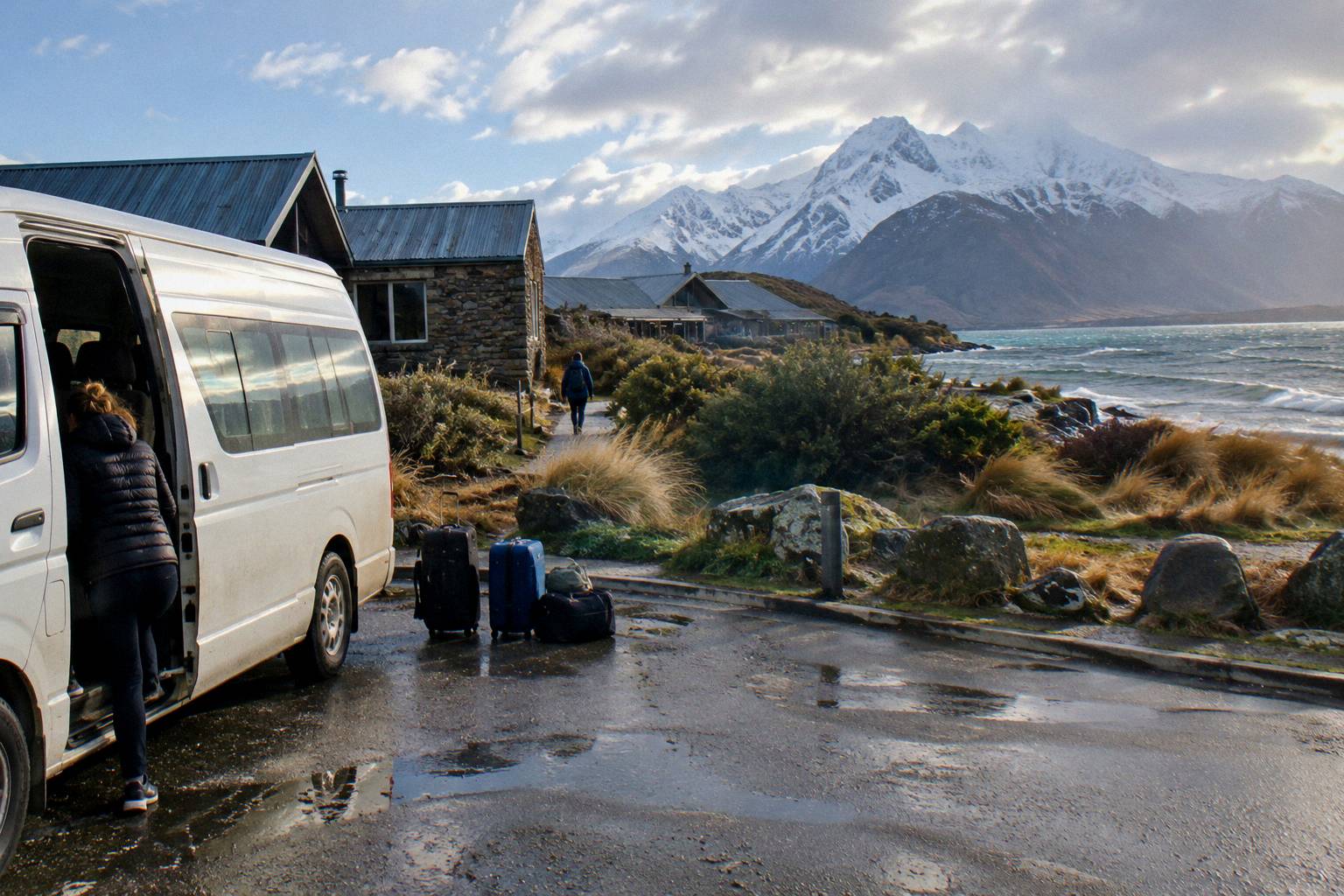
The geography matters for planning because the lake is not a detour. You cross its southern end whether you like it or not, and the only decision is where to pull over. That keeps the maths simple: a stop at Peters Lookout costs you the minutes at the rest area, not extra kilometres, and Glentanner Park sits on the highway itself at the northern end of the lake. There is no sourced fuel stop between Tekapo and the village apart from the self-service, credit-card-only pump at Aoraki / Mount Cook, so treat the lake leg as the stretch where you drive through rather than refuel.
For anyone weighing a self-drive against a seat on a shuttle, the drive yourself or take a shuttle decision comes down to how much of this shoreline you want to absorb at your own pace, and the broader Tekapo to Mount Cook distance and drive time picture sets the frame. The village end of the route is covered in the guide to how long you need at Mount Cook on a day trip, which pairs well with a lake stop budgeted into the same day.
Which Stops Have A Sourced Distance Or Time?
Two stops on the Lake Pukaki stretch carry sourced figures: Peters Lookout, a rest area on State Highway 80 over the lake, improved in the NZ Transport Agency pull-over area works, and Glentanner Park on the same highway at the northern end, about 24 km, or 15 minutes, south of Mount Cook Village. Beyond those, the village itself anchors the far end, and White Horse Hill, at the end of Hooker Valley Road 2.5 km from the village, is where the Hooker Valley Track begins. Those five points are the only ones with distances and times listed, and they are the spine of any stop plan.
| Stop | Position | Sourced figure |
|---|---|---|
| Lake Pukaki (turn off SH8) | 62.9 km from Lake Tekapo township | about 40 minutes by road |
| Peters Lookout | rest area on SH80 over the lake | part of the first 31 km beside the lake |
| Glentanner Park | northern end of Lake Pukaki on SH80 | about 24 km, about 15 minutes, south of the village |
| Mount Cook Village | end of SH80 | 54.7 km from the lake; about 1 hour 15 minutes from Tekapo |
| White Horse Hill car park | end of Hooker Valley Road | 2.5 km from the village |
The table is worth reading as a timeline rather than a menu. If you leave Tekapo and stop once, Peters Lookout is the early candidate, roughly an hour into the drive, and Glentanner Park is the late one, fifteen minutes short of the village. A plan with both is comfortable inside a day that also includes a village walk, provided you keep the Hooker Valley's three hour return time in mind, a figure the Department of Conservation publishes on the Department of Conservation Hooker Valley page.
Parking costs exist only at one point on this chain: White Horse Hill, where DOC charges NZ$2.50 per half hour or NZ$25 a day, free if you arrive and leave within 20 minutes. The Tasman Valley car park at the far end, by contrast, is free for cars and campervans, though it is very busy November to April. No charge attaches to Peters Lookout or Glentanner Park in anything listed, and the rule throughout is simple: pay attention to the sourced figures and check anything else when you get there.
Deciding between doing all of this in a rental or in a seat with someone else at the wheel is exactly the choice the shared shuttle versus small group tour comparison walks through, and the shuttle side of it has one clear advantage in this guide's topic: the driver decides the stop, so you are never weighing a rest area against your own schedule.
If a seat that builds the lake into the itinerary appeals, these three trips all run the Tekapo side of the route:
What Does Peters Lookout Offer?
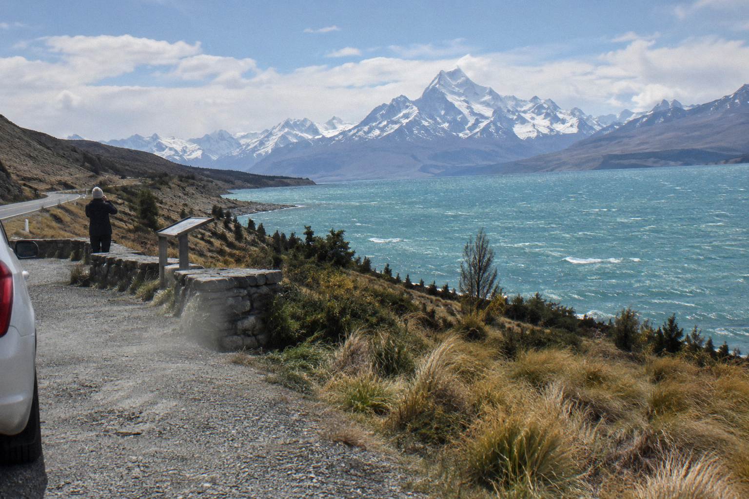
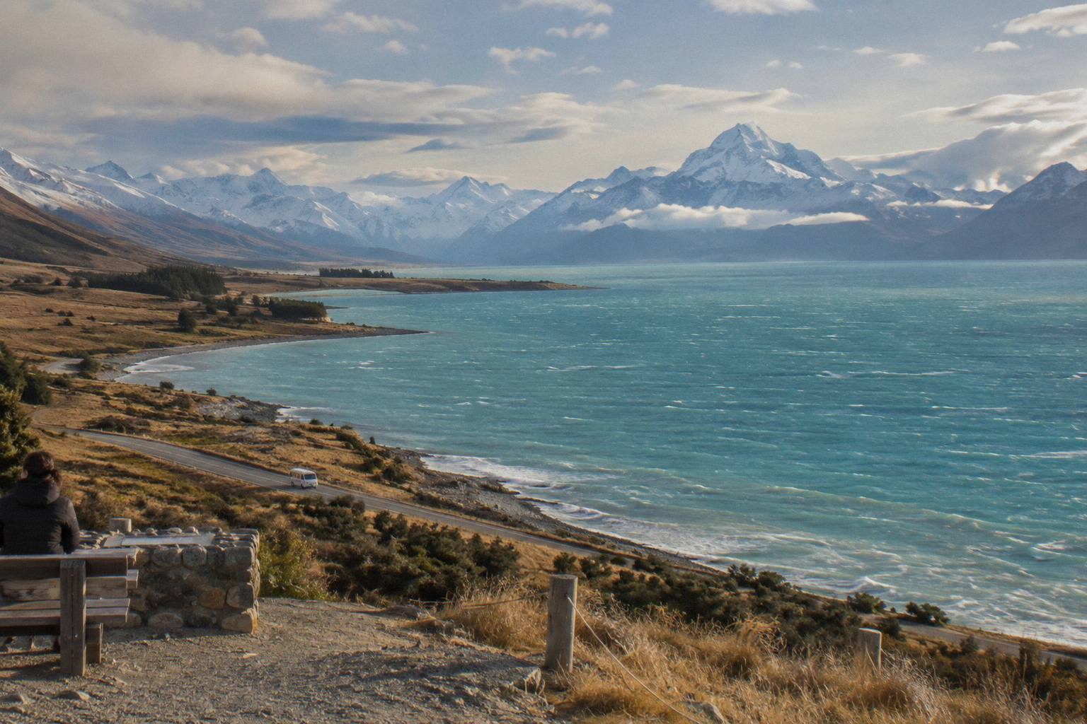
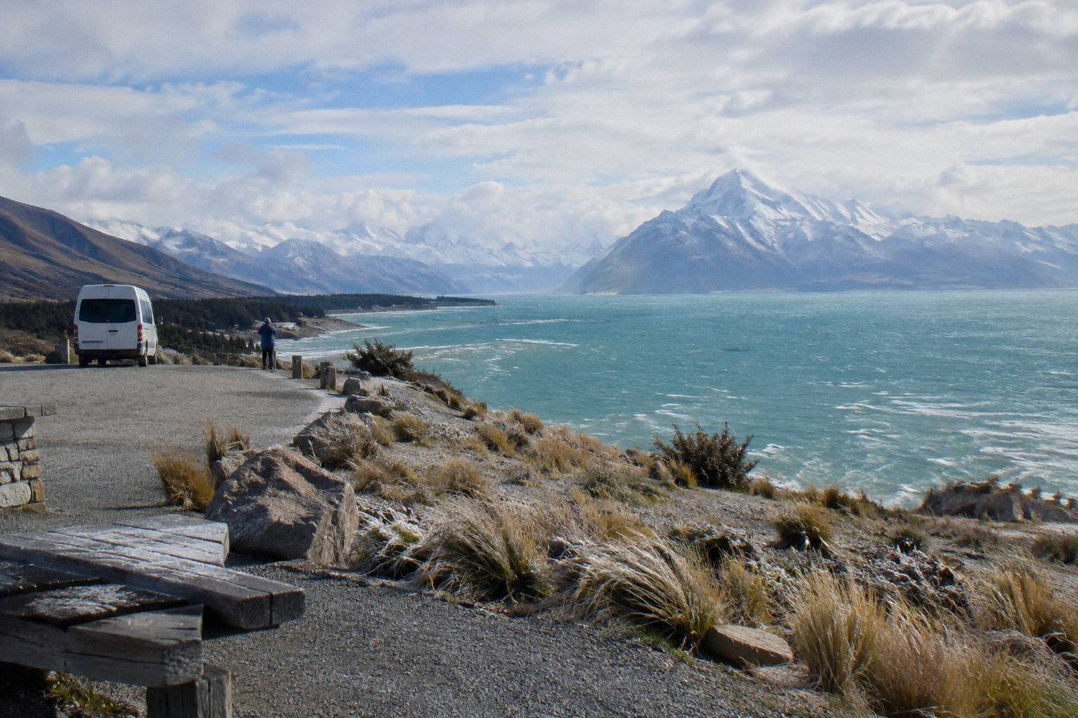
Peters Lookout is a rest area on State Highway 80 above Lake Pukaki, one of the sites improved in the NZ Transport Agency's Mackenzie Basin pull-over area works, which means it exists specifically so drivers can break the shoreline run and take in the lake and the mountains beyond it. It sits within the first 31 km of the highway, the stretch that runs north beside the lake with the Mackenzie Basin on one side and the Ben Ohau Range on the other. As a stop it costs you nothing but time: pull in, walk to the edge, drive on. The NZTA project page for the Mackenzie Basin pull-over areas is the record of the improvement works.
The lookout's practical value comes from timing. By the time you reach it you are past the Tekapo to Pukaki leg, 62.9 km and about 40 minutes, and you have somewhere under an hour left to the village, since the whole run is about 1 hour 15 minutes. That makes it the natural halfway pause: legs stretched, photos taken, and the remaining drive broken into a shorter piece. Nothing listed describes facilities beyond it being a rest area, so plan it as a viewpoint stop, not a lunch stop.
For shuttle passengers, Peters Lookout has a second identity: it is a named stop on an operator itinerary. The Tekapo Shuttle full day tour, "Tekapo Shuttle: Mt Cook Day Tour via Pukaki & Tasman Lake", from NZ$169 per person and rated 4.9 from 449 reviews, lists a Peters Lookout stop between its Four Square Tekapo meeting point and the village. The full itinerary is worth a paragraph of its own further down. If you are leaning toward that trip, check the live price and dates, or check availability once your travel dates are firm.
One caution belongs here rather than anywhere else: the same highway that gives you the lookout can close. Snow, ice, avalanche and floods can shut State Highway 80, chains are often required in snow and ice on alpine highways, and the NZTA Journey Planner at journeys.nzta.govt.nz or the 0800 4 HIGHWAYS line are the official checks before any drive. Never assume the road state from the calendar; check on the day.
Is Glentanner Park Worth A Stop?
Glentanner Park sits on State Highway 80 at the northern end of Lake Pukaki, about 24 km, or 15 minutes, south of Mount Cook Village, which makes it the last easy pause before the village and the walks beyond it. Its position is the whole argument: if Peters Lookout is the halfway stop, Glentanner is the final one, useful for a break before you commit to a three hour Hooker Valley return or a steep Tasman Glacier View climb. Treat it as a waypoint with a name and a distance, and let the rest of the stop be what you find there.
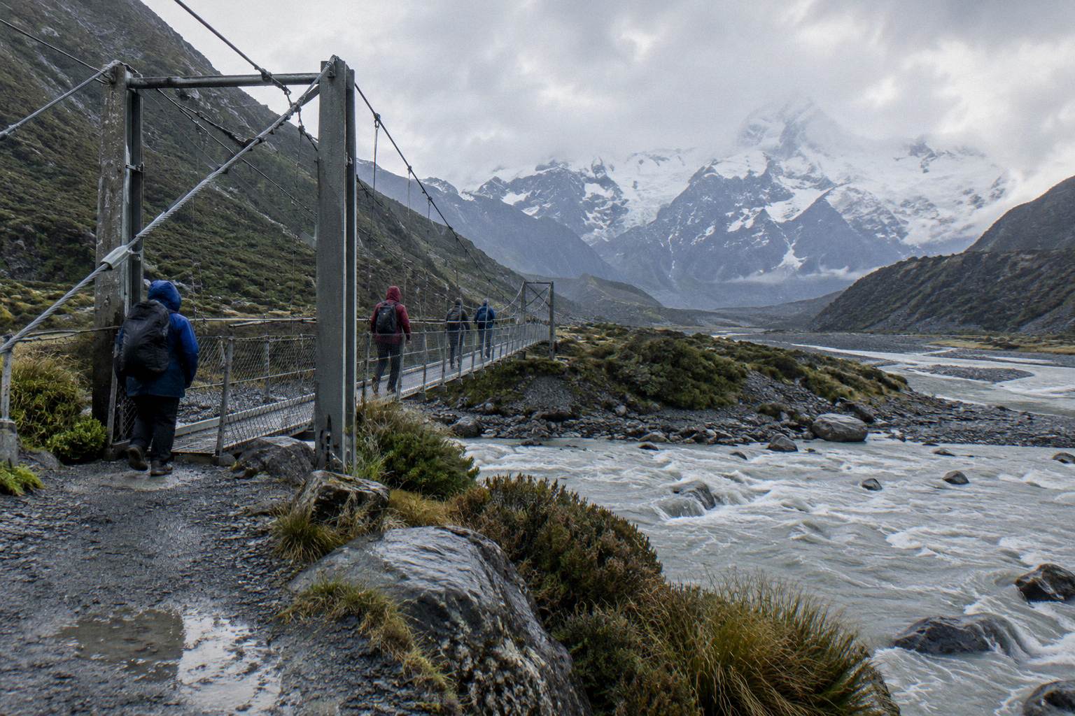
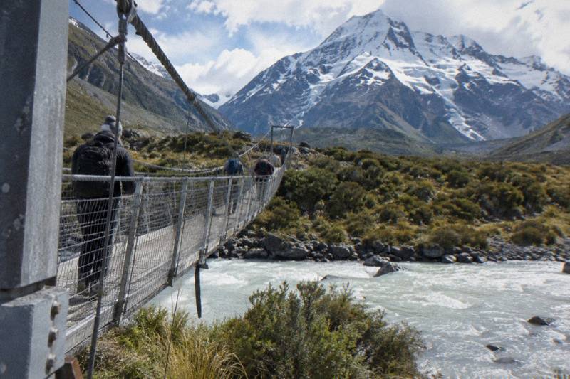
The 15 minute figure to the village is the one that should shape a day plan. Once you pass Glentanner you are into the last of the shoreline road and then the village itself, where the self-service, credit-card-only petrol pump is the only fuel listed and the Aoraki / Mount Cook National Park Visitor Centre opens daily. If your day includes the Hooker Valley Track, the Department of Conservation's timing is car park to first swing bridge 15 minutes, first to second bridge 30 minutes, second bridge to Hooker Lake 45 minutes, about 3 hours return, and the new second swing bridge over the Hooker River, opened in July 2026 at 189 m, is the longest suspension bridge in New Zealand. The Hooker Valley parking and shuttle drop off guide covers the village end of that walk in detail.
Drivers and shuttle passengers weigh Glentanner differently. A driver can stop on a whim, but also has to think about White Horse Hill parking, NZ$2.50 per half hour or NZ$25 a day, free within 20 minutes, and about how a late lakeside start compresses the walk. A shuttle passenger has the stop decided for them, or skipped, depending on the operator's plan, and the small-group alternative, "From Tekapo: Small-Group, Carbon Neutral Mt Cook Day Tour" from NZ$275 per person with a 5 hour duration, simply lists village and national park time with optional walks rather than a lake stop, which is a real difference if the shoreline pause is the point of the day.
The deeper choice between basing yourself near the lake or in the village is covered in staying at Tekapo or Mount Cook Village, and it changes how much the Glentanner stop matters: a village guest passes it twice, a Tekapo day tripper once.
How Big Is Lake Pukaki And Why Is It Glacier Fed?
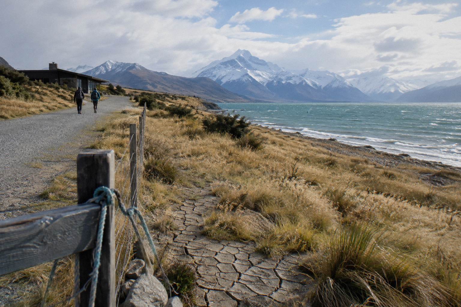
Lake Pukaki covers 178.7 sq km and sits at roughly 518 to 532 m above sea level, and it is fed by glaciers, which is the extent of what official sources support about the lake itself; the water's famous colour is a consequence of that glacial feeding and nothing more needs claiming. The Wikipedia entry for Lake Pukaki carries the area and elevation figures, and the Mackenzie region's own Lake Pukaki visitor page is the regional source for the 62.9 km, 40 minute approach from Tekapo.
Those numbers earn their place in a stop-planning article because scale explains the drive. A lake of 178.7 sq km is why the highway spends 31 km beside it, why the rest area exists, and why the last leg to the village feels like a corridor between water and mountains. It is also why weather and light change the drive so much from hour to hour: the surface you look across is kilometres wide, and the far shore and the Ben Ohau Range frame every stop.
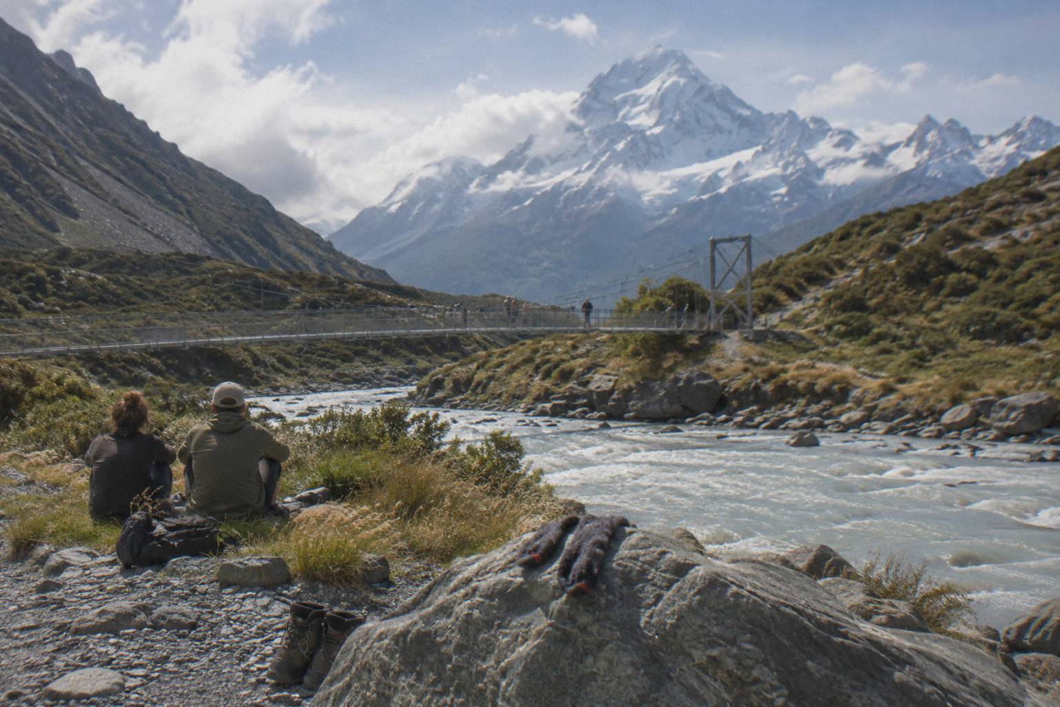
The lake also sits inside the Aoraki Mackenzie International Dark Sky Reserve, 4,367 sq km designated in June 2012, Bortle class 2, which covers the national park, the Mackenzie Basin, Lake Pukaki and Lake Tekapo. That is a fact about where you are standing at Peters Lookout after dusk rather than a reason to linger at midday, but it belongs to the lake's identity all the same, and the reserve's own site notes it can be visited year-round.
Can A Shuttle Handle The Lake Stop For You?
Yes, if you pick the itinerary that lists it: the Tekapo Shuttle full-day tour, from NZ$169 per person, 8.5 hours, rated 4.9 from 449 reviews, meets at Four Square Tekapo at 8:00 September to May or 8:30 June to August, stops at Peters Lookout, then runs an optional Hermitage drop, Tasman Glacier View or the Tasman River Track about 10:15, and Hooker Valley about 11:30. Those clock times belong to that tour alone and are the operator's own itinerary. A free shuttle runs from the Hooker Valley car park every 30 minutes from 1:00 to 2:30 PM, the operator lists a regroup at 15:00, and the day includes water, snacks, Wi-Fi, a 240 V outlet, a USB charger and snow spikes when snowy; lunch is not included.
That itinerary answers the question most lake-minded passengers actually have: does the drive stop being a corridor? On this tour it does, once, at Peters Lookout, and then again functionally at the Tasman and Hooker stops where the walking happens. For anyone whose priority is the shoreline pause rather than the walks, the small-group carbon-neutral day tour is the contrast case: from NZ$275 per person, 5 hours, rated 4.4 from 58 reviews, meeting at the Dark Sky Project or Peppers Bluewater Resort, with lunch pre-ordered from Fairlie Bakehouse included and hotel pickup offered, but no named lake stop on its plan.
A third shape of trip suits travellers heading onward rather than back. "Tekapo: to Queenstown via Mt Cook Small Group Tour (One Way)" runs 9 hours from the Dark Sky Project in Tekapo, from NZ$359 per person, with a picnic lunch, water and snacks, a luggage allowance of one large and one small bag per person, hotel drop-off in central Queenstown, and a child booster seat for ages seven and younger on request. It pairs the Tekapo to Mount Cook leg with an exit south, which the Tekapo to Queenstown via Mount Cook guide unpacks. Prices vary by date, and each booking page shows the price for the date you choose.
The reverse direction has options too, and the differences between them are worth laying side by side. The guided transfer is short and priced; the one-way small group rides lean on luggage space and onboard comfort; the through trip to Queenstown swaps a village return for a southern exit.
| Trip | Direction | Duration | Price |
|---|---|---|---|
| Guided Transfer, Commentary | Mt Cook village to Tekapo | 1 hour | from NZ$125 per person |
| Mt Cook To Tekapo, Pickup Included | village to Tekapo | 1 hour 30 minutes approx. | shown on the booking page for the chosen date |
| From Tekapo, Snacks And Water | Tekapo to Mt Cook | 1 hour approx. | shown on the booking page for the chosen date |
| Onward To Queenstown Via Mt Cook | Tekapo to Queenstown | 9 hours | from NZ$359 per person |
"From Mt Cook: Lake Tekapo Transfer with Guide & Commentary" runs one hour from the village, carbon neutral with Wi-Fi, USB charging and commentary, panoramic views of Lake Pukaki included in what the operator lists. The one-way small group rides from Cheeky Kiwi Travel include luggage space for one large and one small bag per person, water, snacks, a booster seat option and a restroom on board. Check the cancellation terms on the booking page before you commit to any of them; terms are set per product.
Should You Skip The Stops And Drive Straight Through?
You can, and it costs you the least time: Tekapo to the village is about 1 hour 15 minutes without pauses, so a no-stop run saves perhaps 20 to 40 minutes against a plan with one or two lakeside breaks, but you give up the only stretch of the day where the lake and the mountains share one frame from a standing position. The trade is real, and it depends entirely on what the rest of your day holds. A walker with a three hour Hooker Valley return in the plan has reason to move; a traveller whose village time is a short Kea Point track, 3 km with 180 m of height gain, has room to breathe.
| Day plan | Stops that fit | Driving base |
|---|---|---|
| Hooker Valley focus | Peters Lookout only, early | about 1 hour 15 minutes plus the 3 hour return walk |
| Short walks day | Peters Lookout and Glentanner Park | about 1 hour 15 minutes plus short walks |
| Shuttle passenger | operator's stops only, e.g. Peters Lookout on the full-day tour | included in the 8.5 hour tour day |
| Tasman Glacier View focus | Peters Lookout, then Tasman Valley car park, free parking | about 1 hour 15 minutes plus the 15 minute track to the viewpoint |
The Tasman row deserves its own note. The Tasman Glacier View Track is short and steep with 300+ steps, 10 minutes to the first Blue Lakes and 5 more to the viewpoint, over Tasman Lake and Haupapa / Tasman Glacier, New Zealand's longest glacier; the Tasman Lake and River Track, 50 minutes for 2.5 km return, avoids the steps. The car park at its trailhead is free and very busy November to April. The Department of Conservation Tasman Glacier View page is the source for all of those figures, and the Tasman Glacier viewpoint and lake guide goes deeper.
Skipping versus stopping also interacts with season through the road itself. Chains are often required in snow and ice on alpine highways, closures happen, and a schedule with no slack turns a closed SH80 or a slow icy descent into a missed walk. A stop budget is, in part, a risk buffer, and the Mount Cook road conditions and closures guide treats that subject at full length.
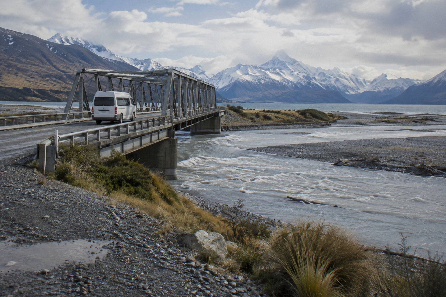
What Trips People Up Before You Stop
Four mistakes recur on the Lake Pukaki leg: assuming fuel exists along the shoreline when the only pump listed is the self-service, credit-card-only one in the village; budgeting the 1 hour 15 minute drive with no slack for closures or ice; expecting facilities at rest areas that sources describe only as rest areas; and booking a shuttle without checking whether its itinerary actually lists a lake stop. Each of these is avoidable with one habit: match every expectation to a sourced figure, and check the rest on the day.
The fuel point bites hardest on self-drive days that add the Hooker Valley. The lake stretch is 31 km of shoreline plus the approach from Tekapo, and the return doubles it; arriving at the village on a low tank with a credit-card-only pump ahead of you is a planning failure, not bad luck. The road point is similar: snow, ice, avalanche and floods can all close State Highway 80, and the Journey Planner or 0800 4 HIGHWAYS check takes a minute. The facilities point is about expectation: a rest area improved for pulling over is exactly that, and the sourced stops with more going on are the village, Glentanner and the car parks at the walk starts.
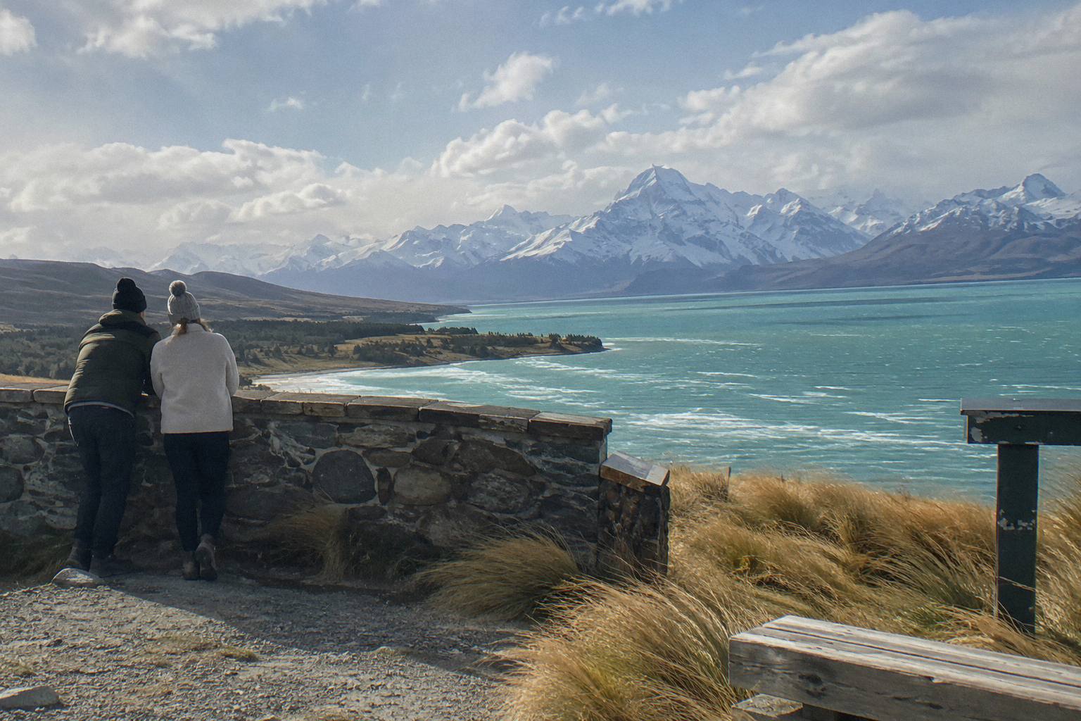
The shuttle point is the one that costs money. Only one itinerary here names Peters Lookout, and a traveller who books a different product assuming every Tekapo to Mount Cook ride pauses at the lake may spend the whole shoreline in motion. Read the itinerary, not the category, and where a product's price or start time is chosen on the booking calendar, confirm it there rather than from memory of a similar-sounding trip. Cancellation terms likewise: check the terms on the booking page, once, before you book.
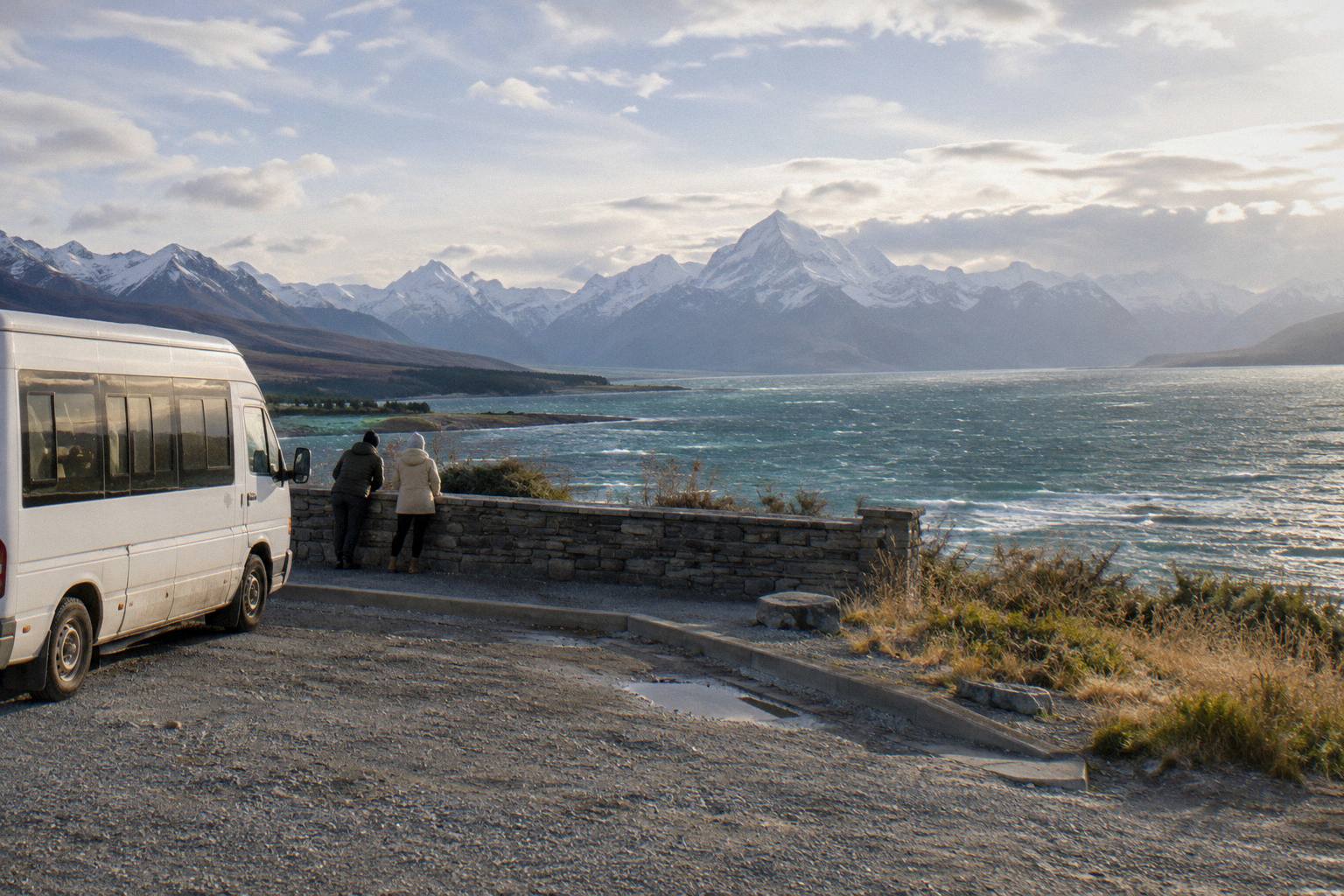
Whatever you choose for the drive, the comparison between a seat and a steering wheel is the same one Tekapo Shuttle Mt Cook exists to lay out, and the lake leg is a good place to feel the difference: one traveller is choosing when to stop, the other is choosing whose plan to trust.
If the lake stop is your reason for reading, these are the three trips worth comparing first:
Common Questions About Lake Pukaki Stops
How Far Is Lake Pukaki From Lake Tekapo?
Lake Tekapo township to Lake Pukaki is 62.9 km, about 40 minutes by road on State Highway 8. From there, State Highway 80 runs 54.7 km to Mount Cook Village, and the whole Tekapo to village journey is about 1 hour 15 minutes without stops.
Where Is The Best Place To Stop At Lake Pukaki?
Peters Lookout, a rest area on State Highway 80 over the lake, improved in the NZ Transport Agency pull-over area works, is the sourced stop within the shoreline stretch. Glentanner Park, at the northern end of the lake about 24 km south of the village, is the other stop with a sourced distance and time.
Does The Shuttle From Tekapo Stop At Lake Pukaki?
The Tekapo Shuttle full-day tour lists a stop at Peters Lookout in its operator itinerary, between the Four Square Tekapo meeting point and Mount Cook. It runs 8.5 hours, from NZ$169 per person, and is rated 4.9 from 449 reviews. Other products list different plans, so read each itinerary before booking.
Is There Petrol At Lake Pukaki?
No fuel stop on the Lake Pukaki stretch appears in any sourced material. The only petrol pump listed is self-service at Aoraki / Mount Cook village, credit card only, so plan fuel around Tekapo and the village rather than the shoreline.
How Big Is Lake Pukaki?
Lake Pukaki covers 178.7 sq km and sits at roughly 518 to 532 m above sea level. It is fed by glaciers. The first 31 km of State Highway 80 run beside it, with the Mackenzie Basin on one side and the Ben Ohau Range beyond.
Can The Road To Mount Cook Close?
Yes. Snow, ice, avalanche and floods can close State Highway 80, and chains are often required in snow and ice on alpine highways. Check the NZTA Journey Planner at journeys.nzta.govt.nz or call 0800 4 HIGHWAYS before you travel.