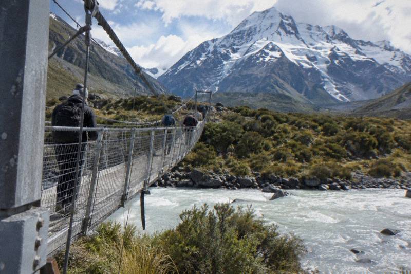
Kea Point Track As A Short Walk On A Mount Cook Day Trip
The Kea Point Track is the short, steady walk at Aoraki / Mount Cook that trades the three swing bridges of the Hooker Valley for a direct climb to the Mueller Glacier moraine wall, 3 km each way with 180 m of height gain, and it fits neatly into the tighter windows a shuttle day trip leaves you.
Short answer
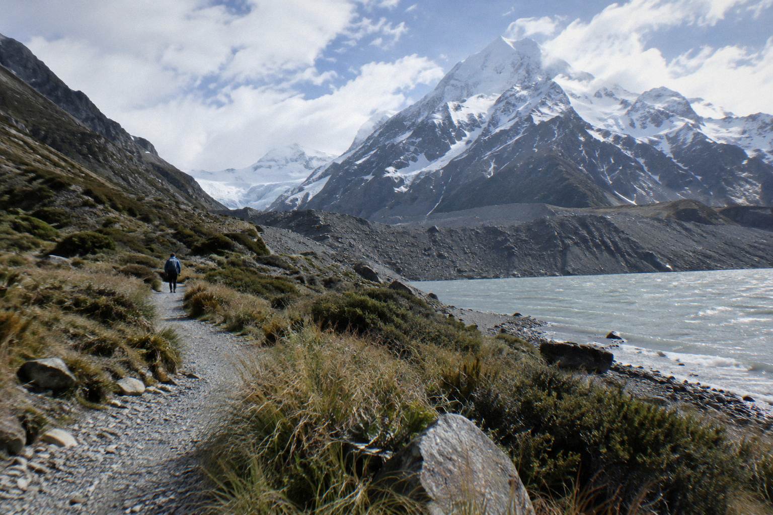
The Kea Point Track climbs gently through subalpine grassland to the Mueller Glacier moraine wall, covering 3 km with 180 m of height gain from the village side of Aoraki / Mount Cook. The Department of Conservation publishes no return time for it, so plan around the 3 km distance and the gradient rather than a fixed clock figure.
Everything here starts from the realistic way to walk Kea Point on a tight schedule: a day trip that drops you in or near the village with a set meeting time. The Full-Day Shuttle Via Pukaki and the small-group alternatives on this site's lineup are the building blocks, and the shorter the day, the more Kea Point earns its place in it.
| Fact | Detail |
|---|---|
| Track | Kea Point Track, Aoraki / Mount Cook National Park |
| Distance | 3 km one way |
| Height gain | 180 m |
| Terrain | Gentle climb through subalpine grassland |
| Destination | The Mueller Glacier moraine wall |
| Return time | Not published by the Department of Conservation |
| Nearest facilities | Aoraki / Mount Cook Village, including the visitor centre open daily |
| Shuttle relevance | Fits shorter stops than the Hooker Valley Track's about 3 hours return |
What Is The Kea Point Track?
The Kea Point Track is a 3 km walking track in Aoraki / Mount Cook National Park that climbs gently, 180 m all told, from the village side of the park through subalpine grassland to a viewpoint on the Mueller Glacier moraine wall. The Department of Conservation publishes no return time for it, describing only the distance, the height gain and the gentle character of the climb. It is the walk people take when they want glacier-country views without committing half a day.
The official description is worth reading at the source: the Department of Conservation Kea Point page describes exactly that, a gentle climb, grassland, a moraine wall, and no published return time. It is the authoritative record for this walk, and everything numeric about Kea Point in this guide traces back to it.
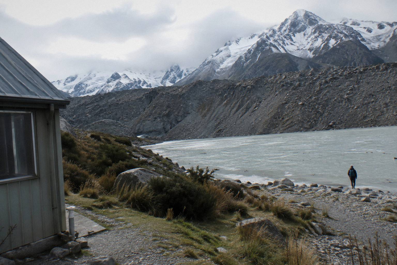
The track exists to solve a specific problem. The Hooker Valley Track, the famous one, needs about 3 hours return from the White Horse Hill car park, and most of a day-trip schedule in the village is built around that block of time. Kea Point asks for a fraction of the distance, one way rather than there-and-back-over-bridges, and it still ends at a wall of glacial debris with the Mueller Glacier country in front of you. The moraine wall is the payoff: a steep-sided ridge of rock and gravel pushed into place by ice, and the track brings you to it rather than across it.
One structural detail matters for planning. The Sealy Tarns Track, 2,200 steps and 600 m of height gain, branches off the Kea Point track, which means the first stretch of your walk shares a surface with one of the steeper objectives in the park. You will not stumble onto the steps by accident, but if someone in your group has Sealy Tarns in mind, Kea Point is the shared first leg. The brochure figure for Sealy Tarns is 3 to 4 hours return, and that is the only time listed for it, so treat it as a different animal entirely from the gentle 3 km to the moraine wall.
For context on where everything sits, the drive from Lake Tekapo to the village takes about 1 hour 15 minutes by road, which is the number every shuttle timetable on this site is built around. Kea Point's shortness is what makes it viable in the gaps: before a meeting time, after a longer walk, or as the whole walk for travellers who cannot take on three bridges and three hours.
How Much Time Should You Allow For Kea Point?
No return time for the Kea Point Track is published by the Department of Conservation, so the only planning figures are the ones that are sourced: 3 km of distance and 180 m of height gain, on a gradient the track page itself calls gentle. Work from the distance and the gradient, add margin for photos and for the altitude of the park, and treat any fixed hour figure you read elsewhere as an estimate rather than an official number. That single gap is worth stating once, plainly, and then planning around.
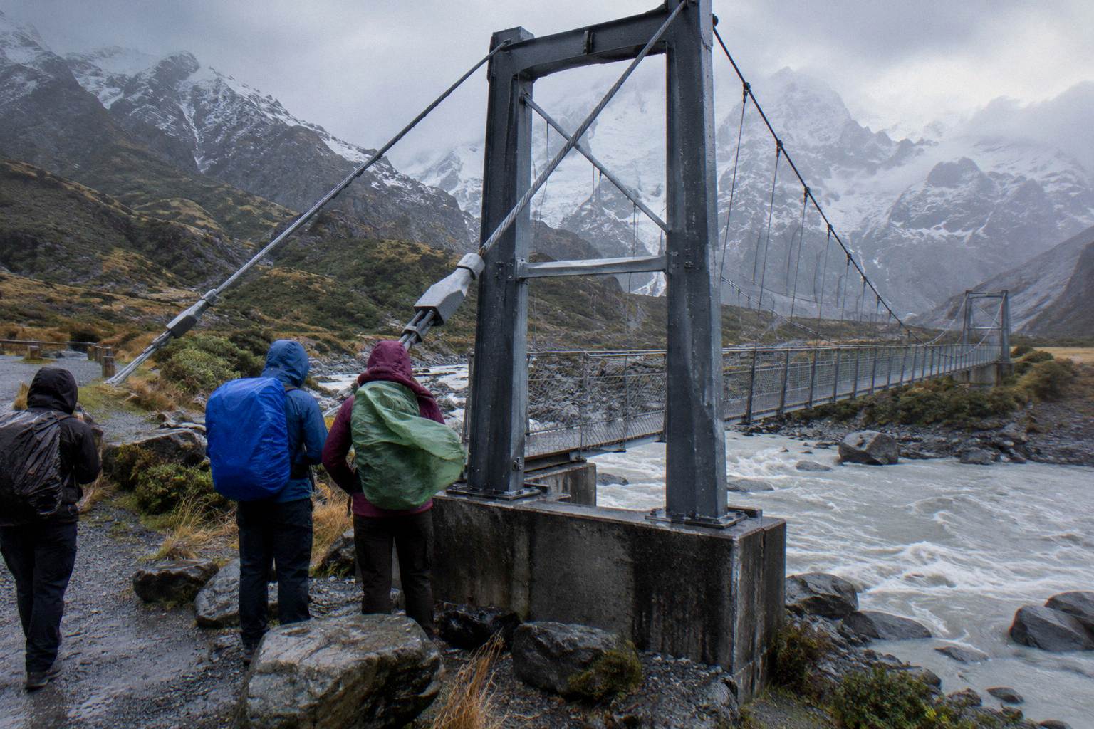
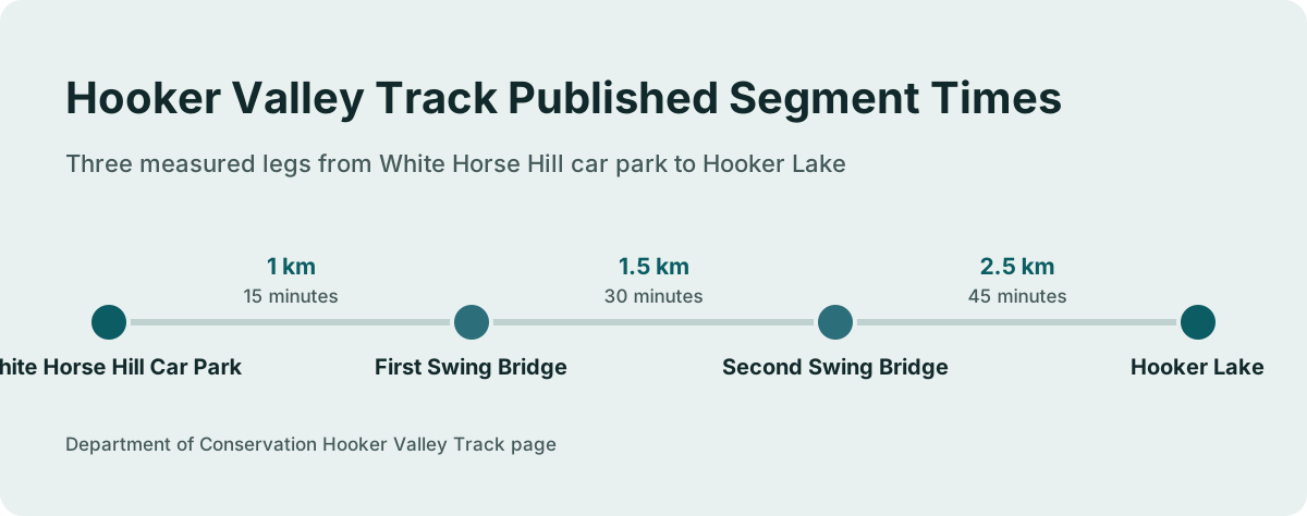
Compare the structure with Hooker Valley, where the Department of Conservation does publish segment times. That track is broken into three measured legs: car park to the first swing bridge in 15 minutes over 1 km, first bridge to second bridge in 30 minutes over 1.5 km, and the second bridge to Hooker Lake in 45 minutes over 2.5 km, for about 3 hours return overall. Kea Point has no equivalent published breakdown, which is the clearest signal that the department treats it as a short local walk rather than a timed great walk.
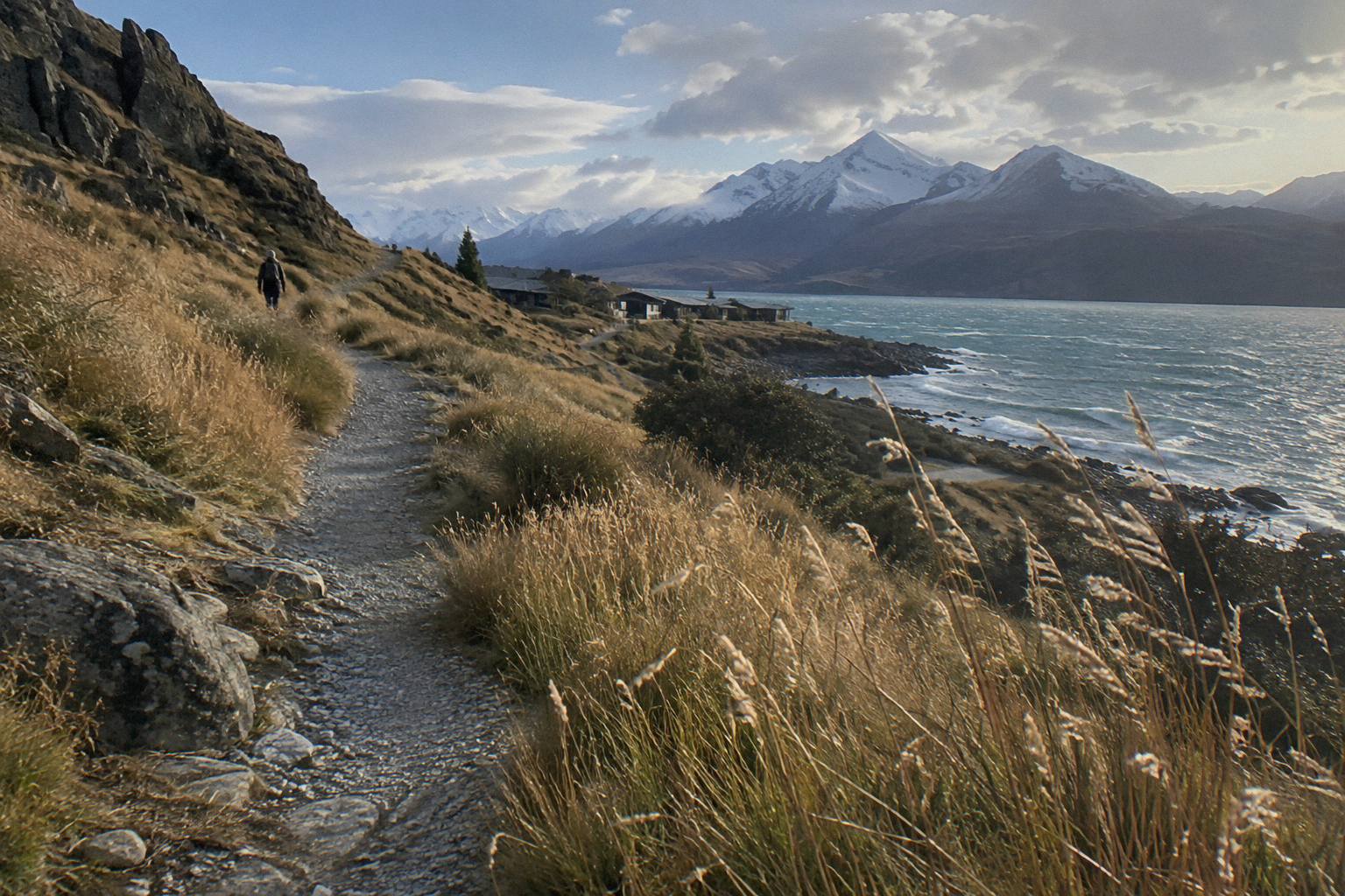
The practical way to budget is to anchor everything to your shuttle's fixed times and work backwards. If your day trip gives you a meeting time in the village, subtract the time to walk to the trailhead, subtract the walk itself using the 3 km and 180 m figures and your own pace on a hill, and leave a cushion. A walker comfortable on a steady gravel climb might treat the one-way leg as under an hour, a slower group might not, and neither figure is official, so the safe planning move is to decide by distance, not by clock.
This is where Kea Point and a shuttle day trip genuinely suit each other. The Full-Day Shuttle Via Pukaki, rated 4.9 from 449 reviews and from NZ$169 per person, runs 8.5 hours from Lake Tekapo with a meet at Four Square Tekapo at 8:00 in the September to May season or 8:30 from June to August. Its operator-stated itinerary puts the group at the Hooker Valley around 11:30 with about 3 hours return for that walk, so the schedule has no separate Kea Point slot, but the shorter walk is the natural fallback if bridges, legs or weather on the day make the long walk unwise, and you can check availability for your date and read the full itinerary there. Amounts in this guide are New Zealand dollars.
There is a broader decision to make before you pin your day to one walk, and the three walks below are the realistic building blocks of a Mount Cook day trip from Tekapo.
Kea Point Vs Hooker Valley: Which Walk Fits Your Day?
Hooker Valley is the longer, published-time walk: about 3 hours return from the White Horse Hill car park, across two swing bridges, ending at Hooker Lake. Kea Point is the shorter, un-timed walk: 3 km one way with 180 m of gain, ending at the Mueller Glacier moraine wall. If your stop at Mount Cook is three hours or more, Hooker Valley is the headline; if it is an hour or two, Kea Point is the walk that actually fits.
The sourced comparison is compact, and it is worth seeing side by side.
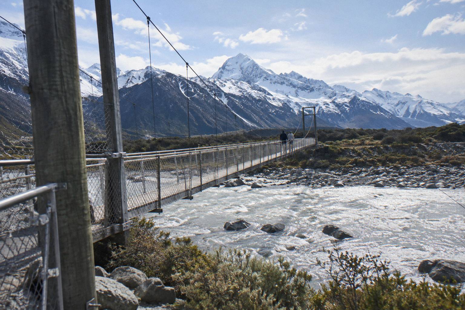
| Sourced fact | Kea Point Track | Hooker Valley Track |
|---|---|---|
| Distance listed | 3 km | 5 km one way, in segments of 1 km, 1.5 km and 2.5 km |
| Height gain | 180 m | Not published as a single figure |
| Published times | None | About 3 hours return from the car park |
| Bridges | None listed | Two swing bridges, one opened July 2026, 189 m, the longest suspension bridge in New Zealand |
| Start point | Village side, off the track network | White Horse Hill car park, 2.5 km from the village |
| Surface character | Subalpine grassland, gentle climb | River valley, bridges, lake endpoint |
The July 2026 bridge detail deserves its own sentence, because it changes the arithmetic at Hooker Valley. A new second swing bridge over the Hooker River opened in July 2026: 189 m, the longest suspension bridge in New Zealand. The Department of Conservation Hooker Valley page carries the segment times and the bridge story, and it is the page to check before any walk in that valley. No closure or works notice was on the track pages at research time, and conditions change, so never treat any track or road state you read anywhere as a promise about the day you go.
The decision usually comes down to the shape of your transport. A self-drive day gives you the White Horse Hill parking question, NZ$2.50 per half hour or NZ$25 a day, free only if you arrive and leave within 20 minutes, which is a fee structure that punishes a three hour walk less than it punishes indecision. A shuttle day trip removes parking from your plate entirely and hands you a fixed window instead. The trade is control for certainty, and the walks section of how to spend a day at Mt Cook works through that same trade with a full schedule attached.
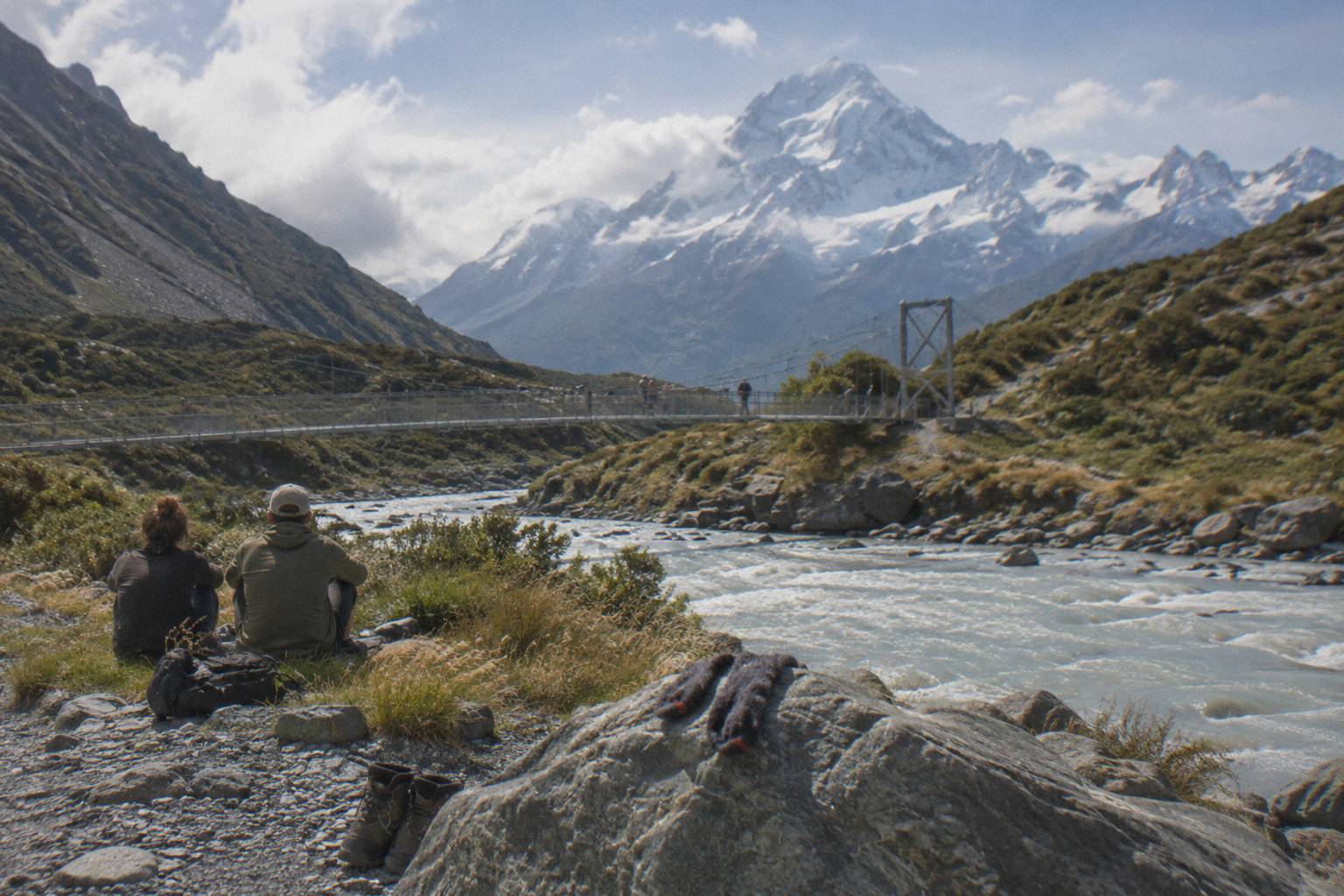
For anyone whose window is genuinely tight, or whose legs are not up for 5 km of valley and two bridges, Kea Point is not a consolation prize. It is the walk that matches the constraint, and matching the constraint is how a day trip stays pleasant rather than rushed.
Kea Point Or The Tasman Glacier View Track?
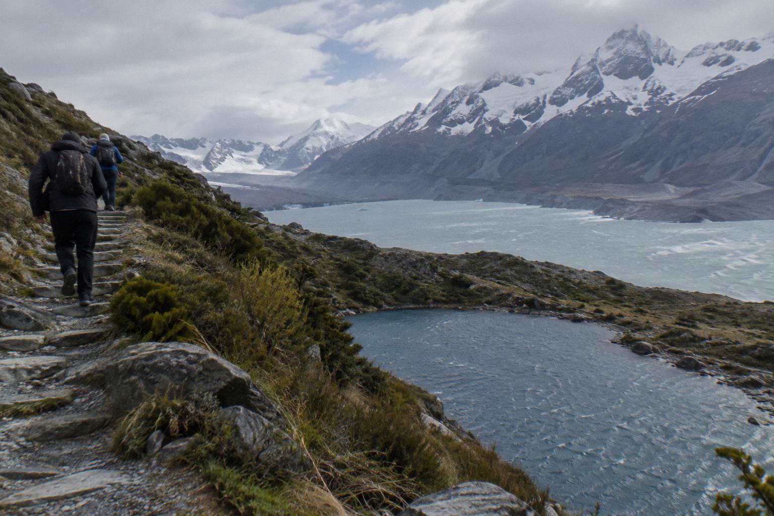
The Tasman Glacier View Track is short but steep: more than 300 steps, with 10 minutes to the first Blue Lakes and 5 more to the viewpoint over Tasman Lake and Haupapa / Tasman Glacier, New Zealand's longest glacier. Kea Point is longer but gentler, 3 km with a steady 180 m of gain. One is a staircase with a big payoff, the other a stroll with a moraine wall.
They also sit on opposite sides of the park's road system. The Tasman Valley car park is at the end of Tasman Valley Road off State Highway 80, and parking there is free for cars and campervans, though it is very busy from November to April. The Department of Conservation Tasman Glacier View page gives the step count and the two timed segments, and it also lists a step-free alternative: the Tasman Lake and River Track, 50 minutes and 2.5 km return, which avoids the stairs entirely.
Here is the comparison on the sourced facts:
| Sourced fact | Kea Point Track | Tasman Glacier View Track |
|---|---|---|
| Effort profile | Gentle climb, 180 m over 3 km | Short and steep, 300+ steps |
| Published times | None | 10 min to the first Blue Lakes, 5 more to the viewpoint |
| Main view | Mueller Glacier moraine wall | Tasman Lake and Haupapa / Tasman Glacier |
| Step-free alternative | Not applicable | Tasman Lake and River Track, 50 min, 2.5 km return |
| Parking | Village side, walk in | Tasman Valley car park, free, very busy November to April |
The shuttle itinerary angle matters here too. The full-day shuttle's operator-stated day puts the group at the Tasman Glacier View Track or the Tasman River Track around 10:15, before the 11:30 Hooker Valley start. So on that particular tour the Tasman view is the morning taster and Hooker Valley is the main event, and Kea Point is the walk you keep in reserve rather than one the itinerary names. If you are choosing your own day from Tekapo, the same order works: short steep viewpoint early, long valley walk in the middle, Kea Point only if time and energy remain, and the Tasman Glacier viewpoint and lake guide covers the east-side stop in detail.
How Do You Get To The Kea Point Trailhead?
You get there on foot from the Mount Cook village side, because the Kea Point track network begins from the village rather than from a dedicated outlying car park, which is exactly why it suits shuttle passengers with a village drop. White Horse Hill, the Hooker Valley car park at the end of Hooker Valley Road 2.5 km from the village, is the parking point for the big walk, not this one, and the parking fee there is NZ$2.50 per half hour or NZ$25 a day with the 20-minute grace window.
Self-drive visitors should also know what the village does and does not offer. There is a self-service petrol pump at Aoraki / Mount Cook, credit card only, which is the fuel situation you plan around on State Highway 80, a 54.7 km road from State Highway 8 at Lake Pukaki to the village with a few single-lane bridges along its mostly two-lane length. The Aoraki / Mount Cook National Park Visitor Centre sits in the village and opens daily, and it is the natural first stop for track conditions on the day. If the driving side of the day is your concern, the Tekapo to Mount Cook distance and drive time guide covers the road in full.
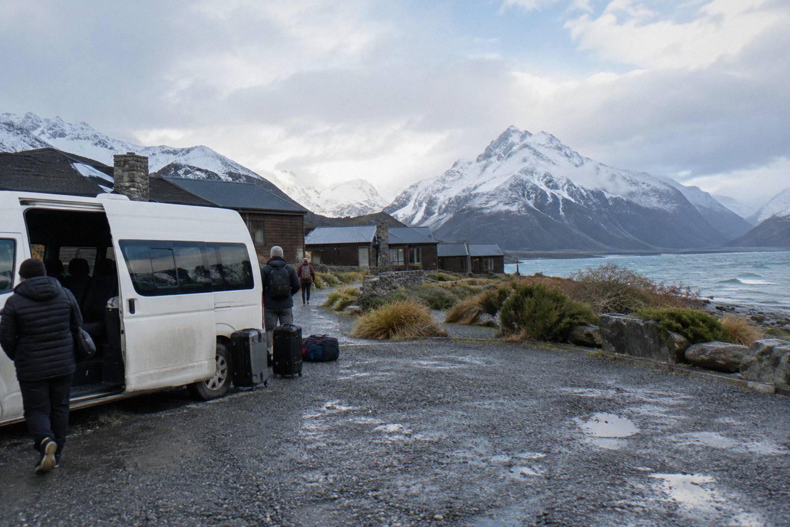
For shuttle passengers the logistics are simpler. The full-day shuttle's itinerary includes a free shuttle running from the Hooker Valley car park every 30 minutes from 1:00 to 2:30 PM, which is the operator's answer to the parking crunch at White Horse Hill, and it lists a regroup at 15:00. If you skip the long walk and stay village-based instead, Kea Point keeps you close to your meeting point with no car park fee, no shuttle queue and no bridge timetable to hit.
One worked example shows how the pieces combine. Take the sourced figures only: about 1 hour 15 minutes from Lake Tekapo to the village by road, a village drop in the late morning, a walk to the Kea Point track, 3 km and 180 m of climb to the moraine wall and the same distance back, then a regroup at the vehicle. Every one of those numbers except the drive time is yours to estimate, because no official Kea Point return time exists, and the way to plan is with distance plus your own hill pace plus a cushion.
Which Shuttle Options Leave Room For Kea Point?
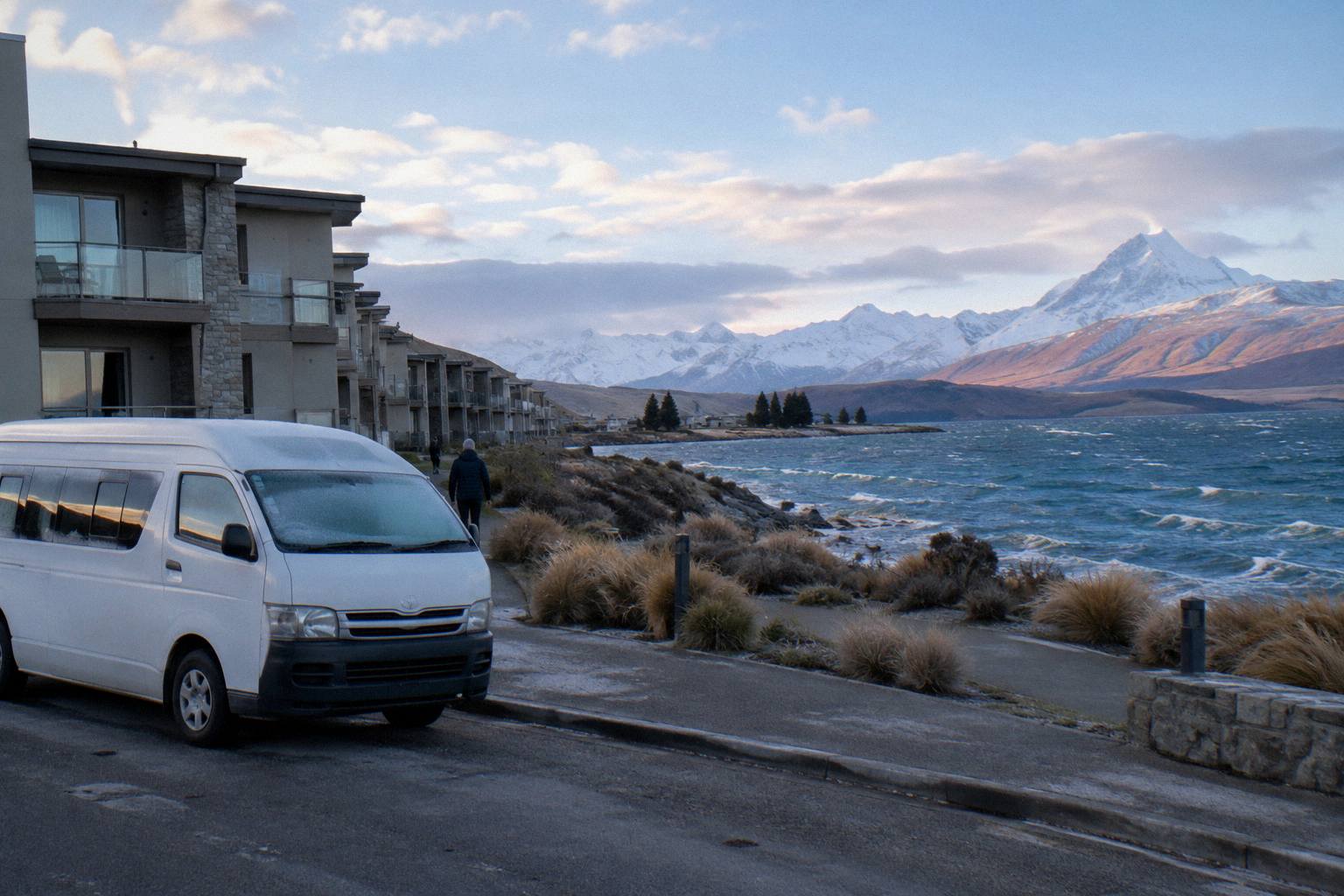
The full-day shared shuttle is the one product here whose published itinerary names its walking blocks, and its 8.5-hour span is what leaves room for a walk beyond the scheduled ones. The smaller-group alternative, from NZ$275 per person with lunch from Fairlie Bakehouse included, trades a shorter listed duration for a higher-touch day. Both start in Lake Tekapo; they differ in what they wrap around your feet-on-ground time.
The Small Group, Carbon Neutral day tour from Cheeky Kea Tours runs about 5 hours, meets at the Dark Sky Project or Peppers Bluewater Resort in Tekapo, and includes lunch pre-ordered from Fairlie Bakehouse, water, Kiwi snacks, Wi-Fi, USB charging and commentary, with hotel pickup offered and a 4.4 rating from 58 reviews. Its listing names Aoraki Mt Cook Village and the national park with optional walks, which is the phrase that matters here: on a shorter small-group day, Kea Point is the style of optional walk that fits, and the price for your date is on the booking page.
The through-option is a different beast entirely. The Onward To Queenstown Via Mt Cook tour, from NZ$359 per person and 9 hours, starts at the Dark Sky Project in Tekapo with hotel pickup if selected, includes a picnic lunch with dietary requirements accommodated, water and snacks, a luggage allowance of one large and one small bag per person, hotel drop-off in central Queenstown, and a child safety or booster seat for children aged 7 and younger if advised. It is a one-way trip, so a walk at the Mount Cook stop has to fit the itinerary's rhythm rather than a return clock, and the walk that fits that rhythm is a short one.
A rough shape of the three, on lineup facts only:
| Tour fact | Full-Day Shuttle Via Pukaki | Small Group, Carbon Neutral | Onward To Queenstown Via Mt Cook |
|---|---|---|---|
| Price | From NZ$169 per person | From NZ$275 per person | From NZ$359 per person |
| Duration | 8.5 hours | 5 hours | 9 hours |
| Meet point | Four Square Tekapo | Dark Sky Project or Peppers Bluewater Resort | Dark Sky Project, Tekapo |
| Lunch | Not included, bring your own | Included, from Fairlie Bakehouse | Picnic lunch included |
| Rating | 4.9 from 449 reviews | 4.4 from 58 reviews | New listing, no reviews yet |
| Direction | Return to Tekapo | Return to Tekapo | One way to Queenstown |
Check the live price for your date at the booking page for whichever of these fits, because lineup prices are per-person starting figures and dates move them. And if flights are on your mind instead of tracks, the village-side air products are a separate decision: the Helicopter With Alpine Landing runs 25 minutes from Mount Cook Airport from NZ$349 per person, rated 4.8 from 538 reviews, and the 3-Hour Tasman Glacier Heli Hike from The Helicopter Line, from NZ$995 per person with all glacier equipment included, is the lineup's only Tasman Glacier product, rated 4.8 from 275 reviews. Those start at Mount Cook Airport, not from a walking track, and they consume the same daylight a walk would.
When Is Kea Point The Wrong Choice?
Kea Point is the wrong walk when your window is three hours or more and your legs are equal to 5 km of valley and two swing bridges, because the Hooker Valley Track is the one with the published timings and the lake endpoint, and it rewards the bigger commitment. It is also the wrong walk if stairs are easier for you than distance, in which case the Tasman Glacier View Track's 300+ steps and 15-minute climb to the viewpoint is the better fit for a short stop.
There is a planning failure mode worth naming: building a day around a walk you have not timed, using a time figure nobody published. The Department of Conservation gives you 3 km and 180 m for Kea Point and nothing more, and the temptation is to borrow a number from a blog and treat it as official. Resist that. Plan by distance, budget generously, and if the schedule cannot absorb the uncertainty, choose the walk with published times instead. The same logic runs the other way in winter: snow and ice can close State Highway 80 outright, and the NZTA Journey Planner at journeys.nzta.govt.nz or the 0800 4 HIGHWAYS line is the pre-travel check, with chains often required on alpine highways in those conditions. No road or track state is ever a promise about your day.
| Situation | Better walk | Why |
|---|---|---|
| Three hours or more at the park | Hooker Valley Track | Published 3 hour return, bridges, lake endpoint |
| Short stop, steps are fine | Tasman Glacier View Track | 15 minutes to the viewpoint, 300+ steps |
| Short stop, no stairs wanted | Tasman Lake and River Track | 50 min, 2.5 km return, avoids steps |
| Village drop with an hour or two | Kea Point Track | 3 km, 180 m, starts from the village side |
| Big objective, big legs | Sealy Tarns Track | 2,200 steps, 600 m gain, branches off Kea Point |
Families should read the table with one extra filter: the lineup's small-group vehicles offer a safety or booster seat for children aged 7 and younger when advised, and the full-day shuttle's inclusions list snow spikes when snowy, which tells you the operator plans for winter ground on the walks. The Hooker Valley Track with kids and older walkers guide carries that decision in full; for Kea Point specifically, the statement is structural: 3 km and a 180 m gradient is the whole difficulty story, with no bridges and no published time.
What Trips People Up Before You Walk
The three recurring mistakes are these: planning Kea Point against a published time that does not exist, assuming the shuttle itinerary's clock times belong to every operator, and misreading the parking rules at White Horse Hill as if they applied to the village-side walks. Each of these is avoidable with one adjustment to how you plan, and none of them requires spending more money, only reading the right source before the day.
The time mistake first. People write an hour figure into a schedule, then feel cheated when the walk runs long with photos, a rest at the moraine wall, and a slow return. The fix is to plan by the sourced numbers, 3 km and 180 m of gain, and to leave slack. If slack does not exist in your day, the Hooker Valley Track's published segment times and the Tasman viewpoint's 10-plus-5-minute figures are the walks with official clocks.
Second, the clock-time confusion. The 8:00 and 8:30 meets, the 10:15 Tasman stop, the 11:30 Hooker Valley start and the 15:00 regroup belong to the Full-Day Shuttle Via Pukaki's operator-stated itinerary and to nothing else here. Every other product's departure is chosen on its booking calendar. Importing one tour's timetable into another operator's day is how people end up at the wrong meeting point at the wrong hour.
Third, parking. The NZ$2.50 per half hour and NZ$25 per day charges, and the 20-minute grace rule, apply at White Horse Hill, the end of Hooker Valley Road 2.5 km from the village. Kea Point walkers coming from the village side are not buying that ticket, but self-drivers who park at White Horse Hill and then walk toward the village network are, and the fee clock does not pause for scenery. The Hooker Valley Track parking and shuttle drop-off guide untangles that in full, and the drive yourself or take a shuttle to Mount Cook comparison is the right next read if the fee is tipping your decision toward a tour.
Beyond those three, two smaller traps: check the cancellation terms on the booking page once, since terms are not printed per product anywhere on this site, and remember that this site, Tekapo Shuttle Mt Cook, compares the lineup's real products rather than selling a shuttle of its own, so every price you see is that product's own from-figure.
Whatever the shape of your day, these are the three options that frame it:
- Helicopter With Alpine Landing
- Full-Day Shuttle Via Pukaki
- Ski Plane And Helicopter Combo
- 3-Hour Tasman Glacier Heli Hike
- 50-Minute Flight From Tekapo
- Small Group, Carbon Neutral
- Onward To Queenstown Via Mt Cook
- GreatSights Coach, Hermitage Pickup
- From Tekapo, Snacks And Water
- Mt Cook To Tekapo, Pickup Included
- Guided Transfer, Commentary
- Mt Cook To Christchurch Via Tekapo
Common Questions About The Kea Point Walk
How Long Is The Kea Point Track?
The track covers 3 km one way with 180 m of height gain, climbing gently through subalpine grassland to the Mueller Glacier moraine wall. The Department of Conservation publishes no return time for it, so plan by distance and gradient rather than a fixed clock figure.
Is The Kea Point Track Hard?
On the sourced description it is a gentle climb, 180 m of height gain over 3 km, with no bridges and no steps listed on its own track page. It is shorter and steadier than the Hooker Valley Track and far less steep than the Sealy Tarns Track's 2,200 steps and 600 m of gain, which branches off it.
Can You Do Kea Point On A Shuttle Day Trip From Tekapo?
Yes, as a fitting walk for a shorter village-side window. The Full-Day Shuttle Via Pukaki runs 8.5 hours from Lake Tekapo with its main walking block, about 3 hours return at Hooker Valley, already scheduled, so Kea Point works as the reserve walk when time or legs rule out the long one. The 5-hour small-group day names optional walks in the village and park, which is the same opening.
Kea Point Or Hooker Valley, Which Is Better?
Hooker Valley if you have about 3 hours return and want the bridges and Hooker Lake, with published segment times to plan against. Kea Point if your window is shorter, since it is 3 km one way with 180 m of gain starting from the village side. Neither is better in the abstract; the length of your stop decides.
Where Do You Park For The Kea Point Track?
The walk begins from the village side of Aoraki / Mount Cook, so village-based visitors reach it on foot. The White Horse Hill car park, 2.5 km from the village at the end of Hooker Valley Road, serves the Hooker Valley Track and charges NZ$2.50 per half hour or NZ$25 a day, free only within a 20-minute arrive-and-leave window.
Does The Kea Point Track Have A Published Return Time?
No. The Department of Conservation's track page gives the distance, 3 km, the height gain, 180 m, and the character, a gentle climb through subalpine grassland to the moraine wall, but no time figure. Budget from the distance and your own pace, and check at the village visitor centre, which opens daily, for conditions on the day.